Norway
  Deutsch
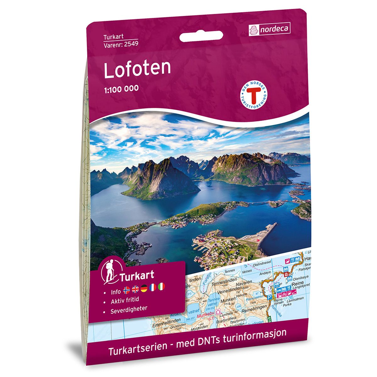

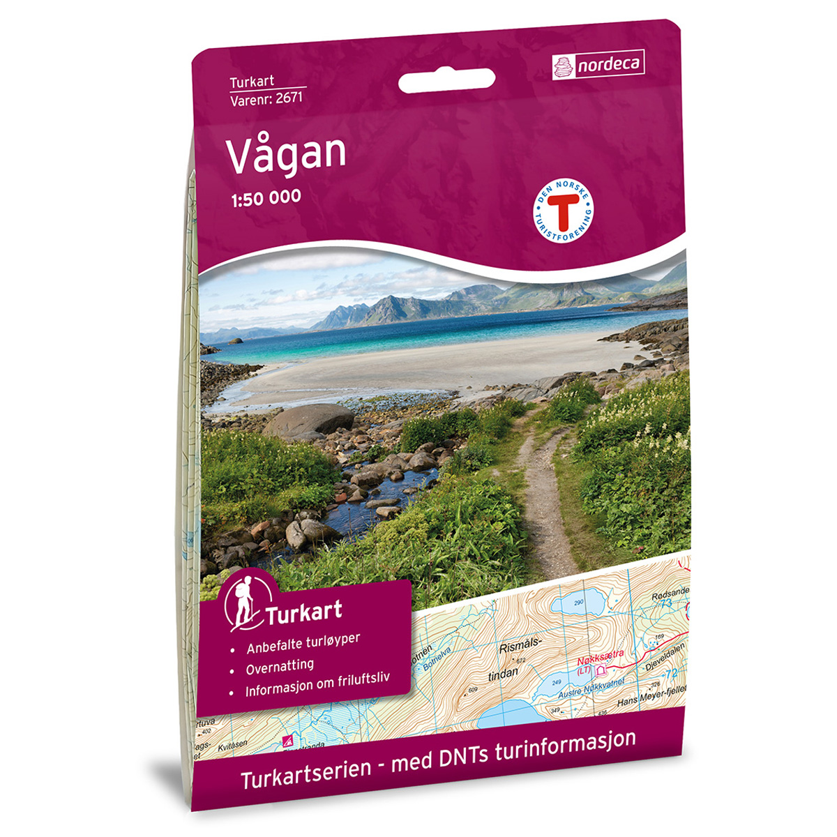

Lofoten DNT hiking map
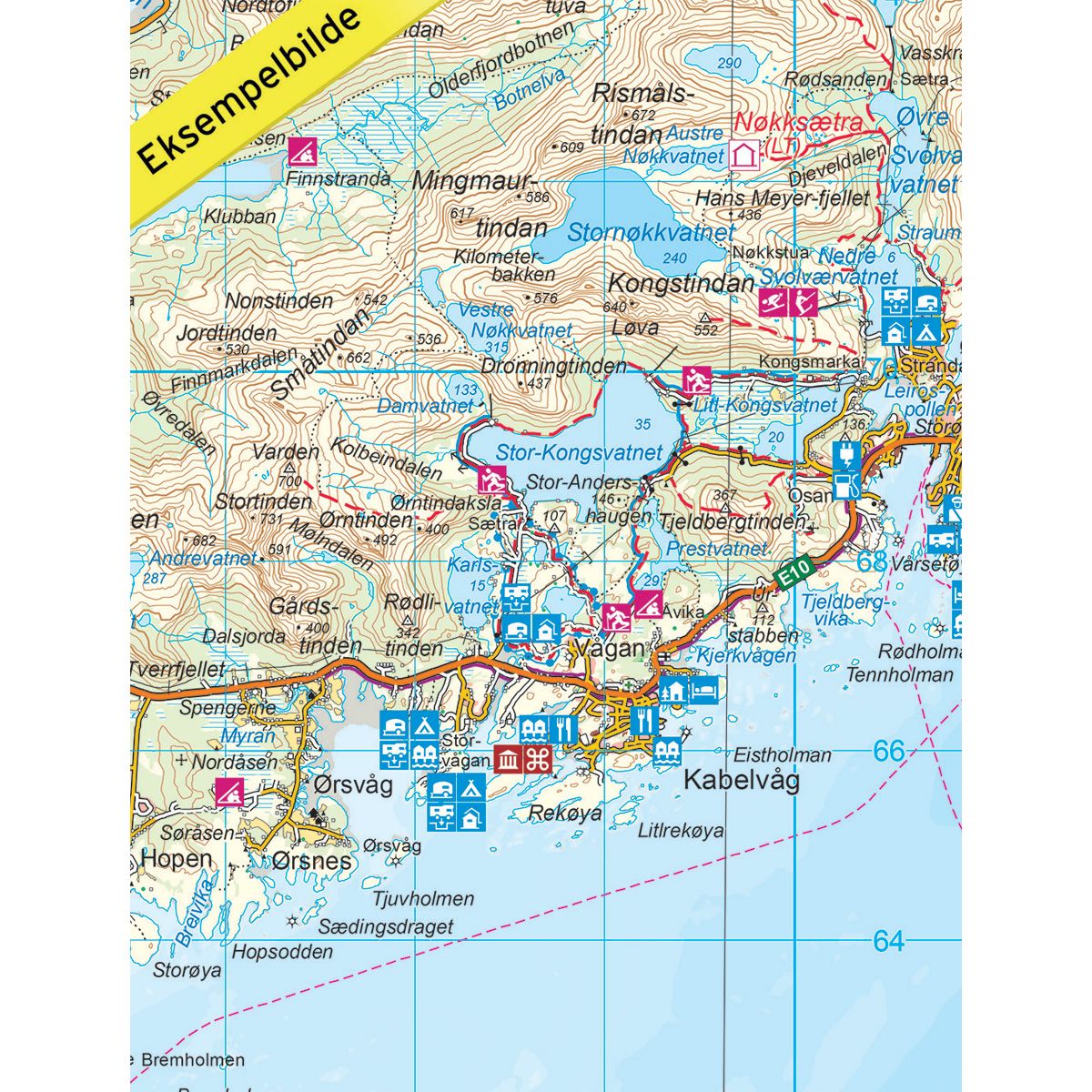
Map with Norwegian Trekking Association information about trails and cabins.
- The map covers Eggum, Henningsvær, Leknes, Ramberg, Reine, Stamsund, Svolvær, Å
- Scale 1:100 000 in water resistant material
€24.00
Out of stock
| Brand | Nordic Maps |
|---|---|
| SKU | 2549 |
| Map size | 70x100 cm |
| Scale | 1: 100 000 |
| Trails | Hiking trails |
| Updated | 2017 |
| Material | Plastic fiber |
| Map usage | Hiking |
| Accommodation | Serviced cabins, Unattended cabins, Self-catering cottages, hotels |
| EAN | 7046660025499 |
| Cabins in the map | Munkebu, Selfjordhytta, Fredvang, Nøkksætra, Trollfjordhytta |
| Partner | The Norwegian Trekking Association |
| Map both sides | No |
| Country | Norway |
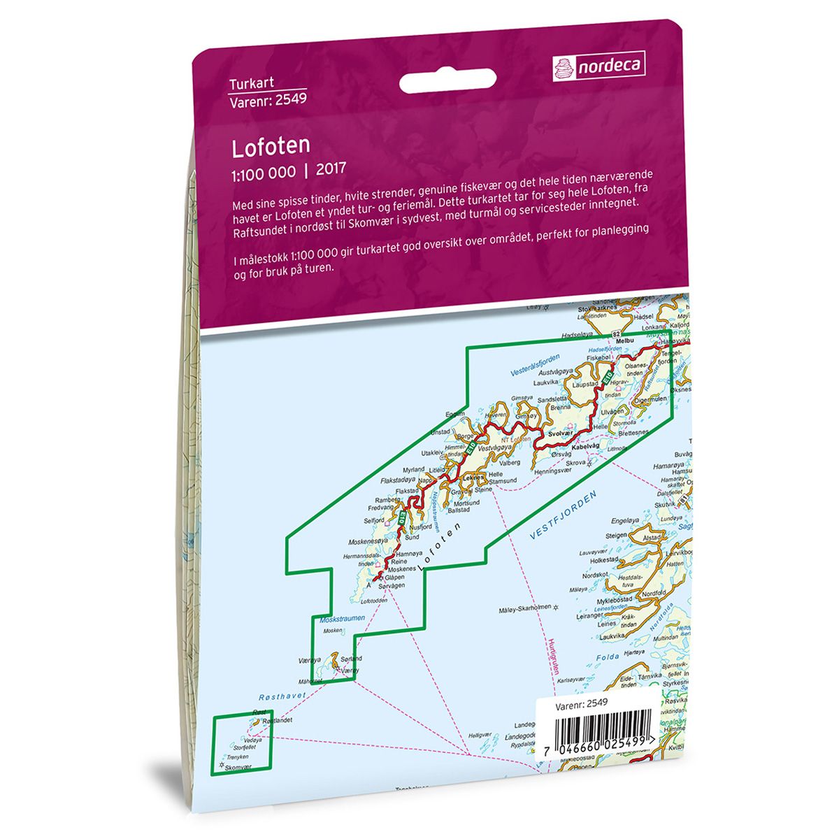
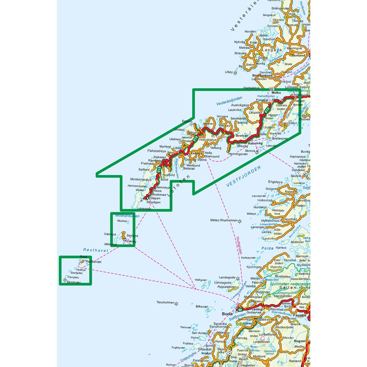
| Destinations | Ballstad, Eggum, Fiskebøl, Flakstadøya, Gimsøya, Gravdal, Hadseløya, Henningsvær, Hermannsdalstinden, Kabelvåg, Laukvika, Leknes, Lofoten, Lofotodden, Melbu, Mosken, Moskenesøya, Moskstraumen, Raftsundet, Ramberg, Reine, Røst, Skomvær, Skrova, Stamsund, Svolvær, Sørland, Sørvågen, Vestvågøya, Vågakallen, Værøya, Å, Øksfjorden |
| Format | Foldable |
| Language | Norwegian, English |
| Series | Hiking maps |
With its jagged peaks, white sandy beaches, authentic fishing villages and the ever-present sea, Lofoten is a popular holiday and trekking destination. This trail map covers all of Lofoten, from Raftsundet in the northeast to Skomvær in the southwest, and includes trekking destinations and services. The 1:100,000 scaled trail map provides a good overview of the area, perfect for both planning a trip and for use on the trail.
DNT hiking maps
This map series was developed in cooperation with The Norwegian Trekking Association (DNT) and contains DNT trails, cabins and other useful trekking information. A few of the maps also have ski trails.
The DNT maps are published in three different scales (levels of detail).
1:25 000 for more defined and detailed information. Suitable for shorter treks.
1:50 000 is the optimal scale for treks.
1:100 000 offers a good overview of larger areas and is useful when planning trips.
The maps are printed on durable and weatherproof plastic fibre or paper material.
Language: Norwegian and English