Norway
  Deutsch
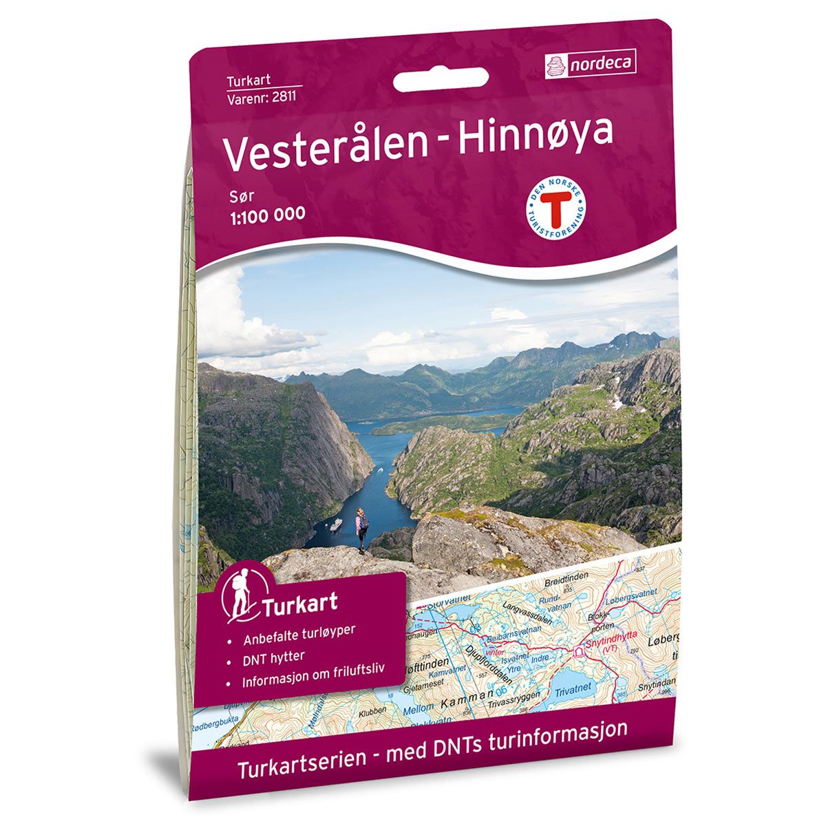
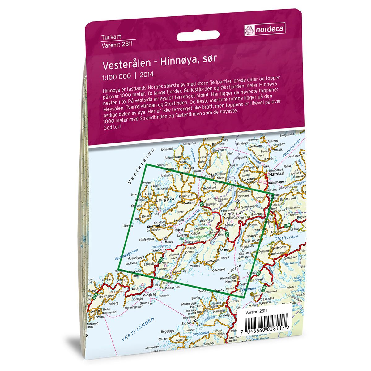

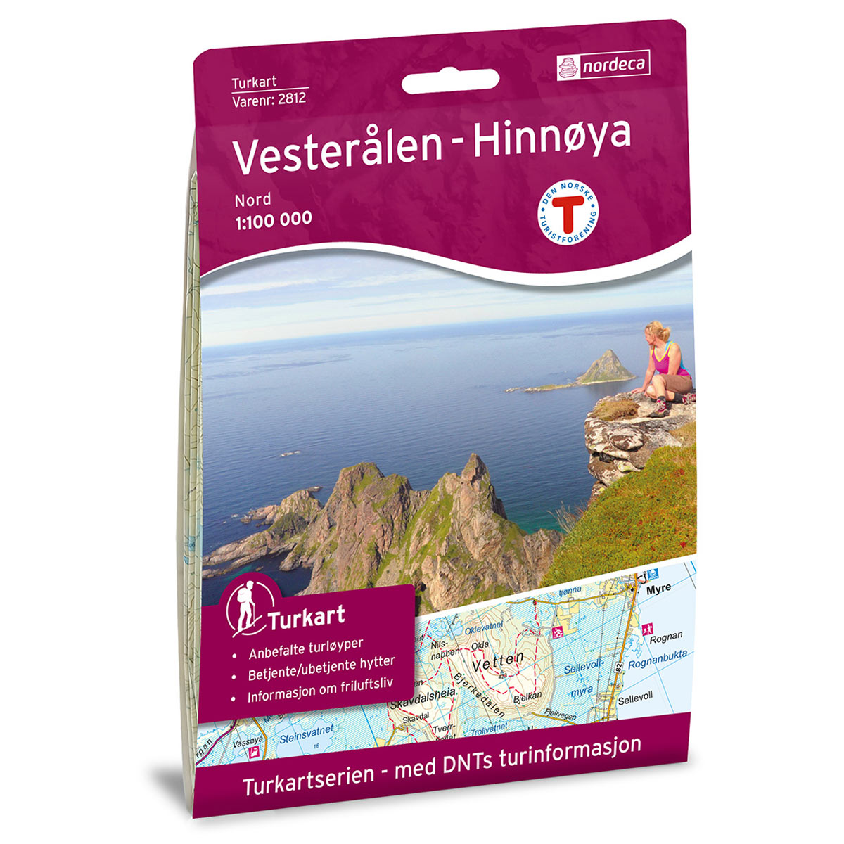
Vesterålen Hinnøya Sør DNT hiking map
Map with Norwegian Trekking Association information about trails and cabins.
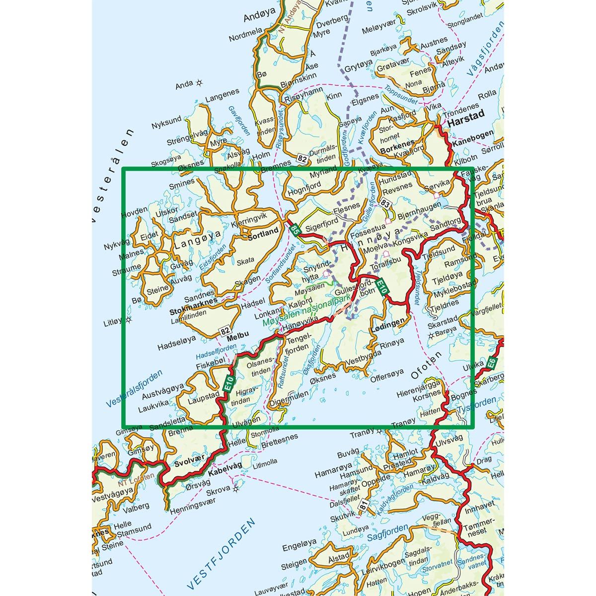
- The map covers Bø, Ofoten, Sortland, Øksfjorden, Melbu og Lødingen
- Scale 1:100 000 in water resistant material
€24.00
In stock
| Brand | Nordic Maps |
|---|---|
| SKU | 2811 |
| Map size | 70x100 cm |
| Scale | 1: 100 000 |
| Trails | Hiking trails |
| Updated | 2014 |
| Material | Plastic fiber |
| Map usage | Hiking |
| Accommodation | Serviced cabins, Unattended cabins, Self-catering cottages, hotels |
| EAN | 7046660028117 |
| Partner | The Norwegian Trekking Association |
| Map both sides | No |
| Country | Norway |
| Destinations | Austvågøya, Bognes, Bø, Durmålstinden, Fiskebøl, Gullesfjorden, Hadseløya, Hinnøya, Kaljord, Langøya, Laukvika, Litløy, Lødingen, Melbu, Møysalen nasjonalpark, Ofoten, Raftsundet, Rinøya, Sigerfjord, Skagen, Snøkolla, Sortland, Stokmarknes, Straume, Sørvika, Tjeldsundet, Tjeldøya, Vesterålen, Vesterålsfjorden, Øksfjorden |
| Format | Foldable |
| Language | Norwegian, English |
| Series | Hiking maps |
Hinnøya is mainland Norway’s largest island, with expansive mountain ranges, broad valleys and peaks higher than 1000 meters. Two long fjords, Gullesfjorden and Øksfjorden divide Hinnøya almost in half. On the west side of the island, the terrain is alpine. The highest peaks are: Møysalen, Tverrelvtindan and Stortinden. Most of the marked routes are located on the eastern part of the island. Here, the terrain is just as steep, but the peaks are still higher than 1000 meters, with Strandtinden and Sætertinden as the two highest.
DNT hiking maps
This map series was developed in cooperation with The Norwegian Trekking Association (DNT) and contains DNT trails, cabins and other useful trekking information. A few of the maps also have ski trails.
The DNT maps are published in three different scales (levels of detail).
1:25 000 for more defined and detailed information. Suitable for shorter treks.
1:50 000 is the optimal scale for treks.
1:100 000 offers a good overview of larger areas and is useful when planning trips.
The maps are printed on durable and weatherproof plastic fibre or paper material.
Language: Norwegian and English