Norway
  Deutsch
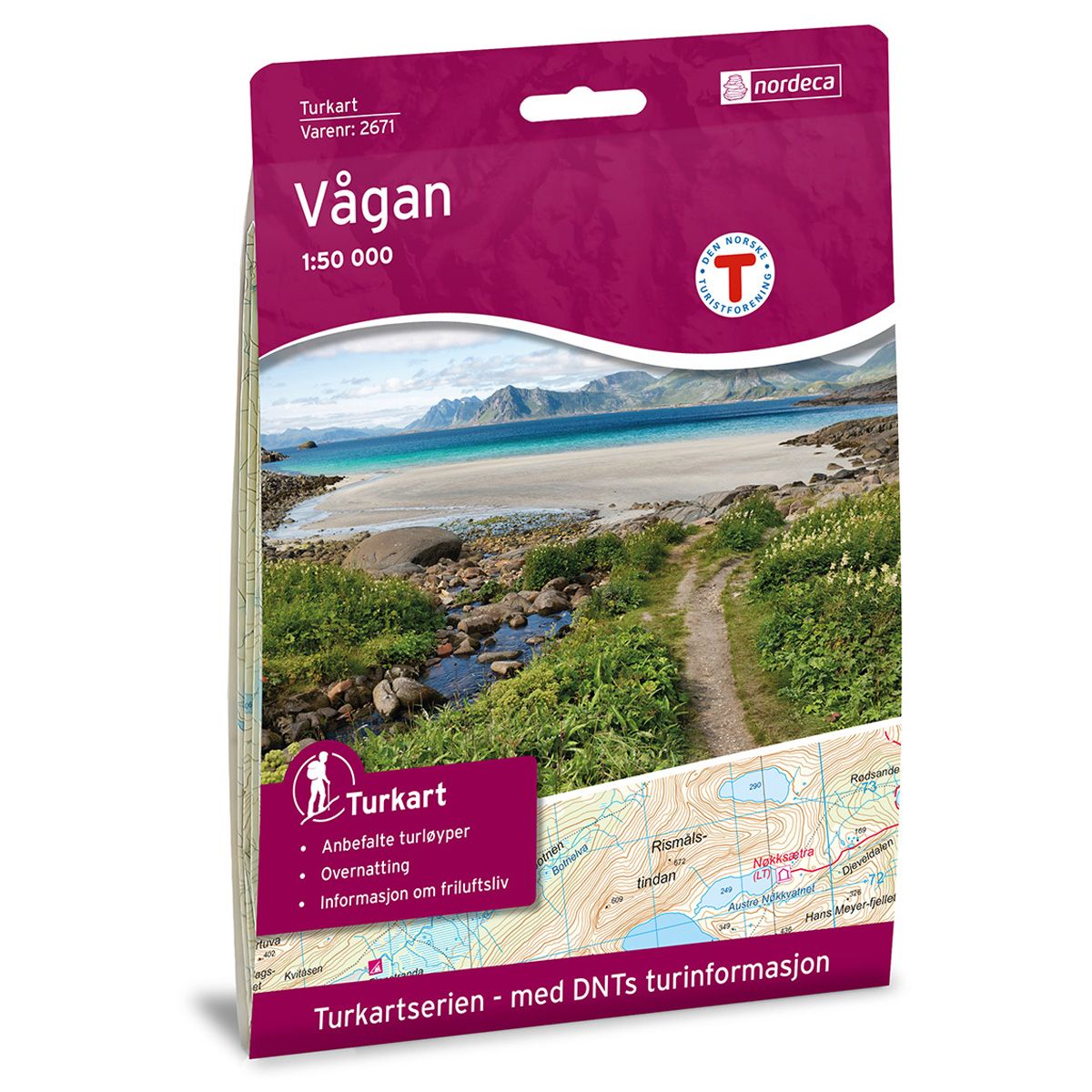
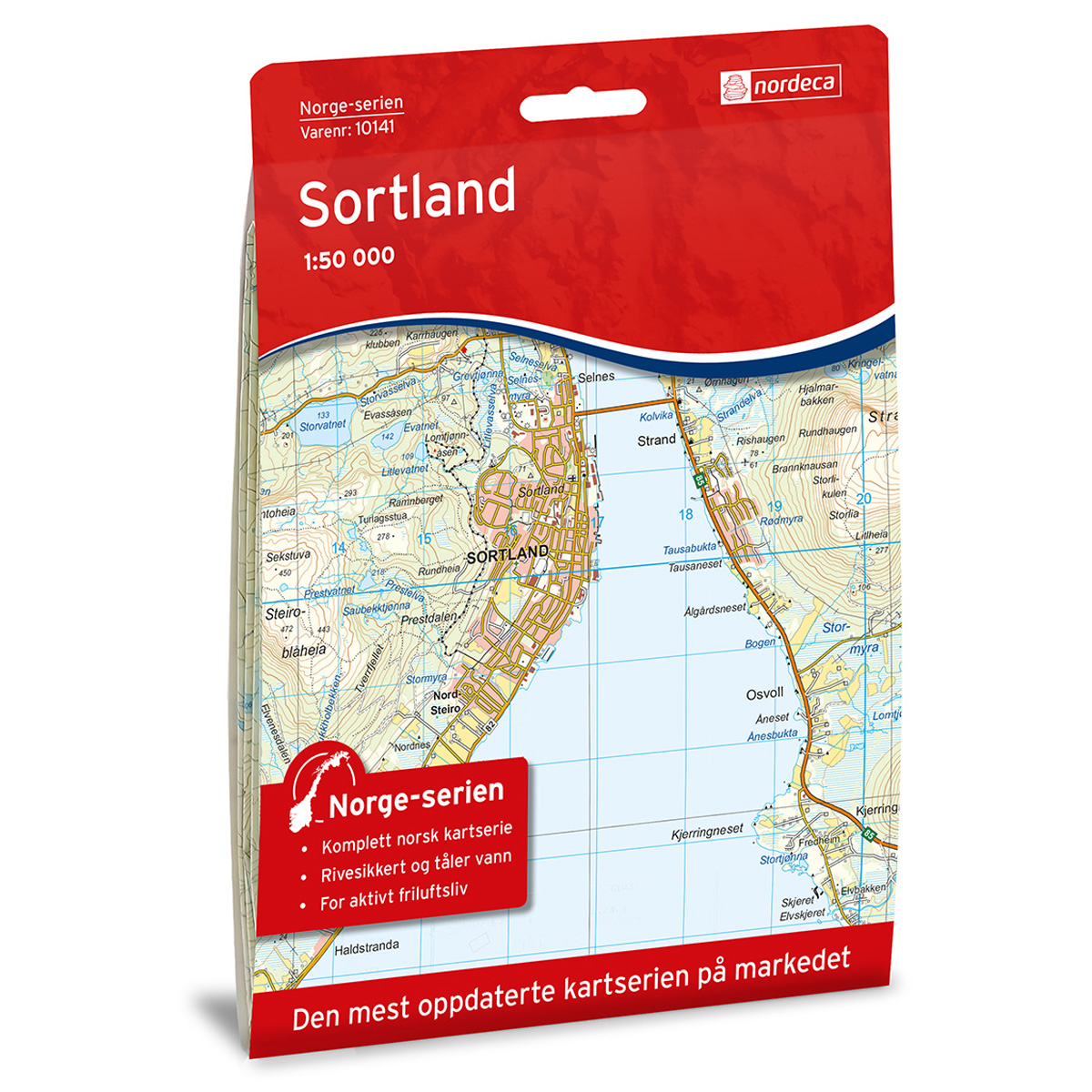

Vågan DNT hiking map
Map with Norwegian Trekking Association information about trails and cabins.
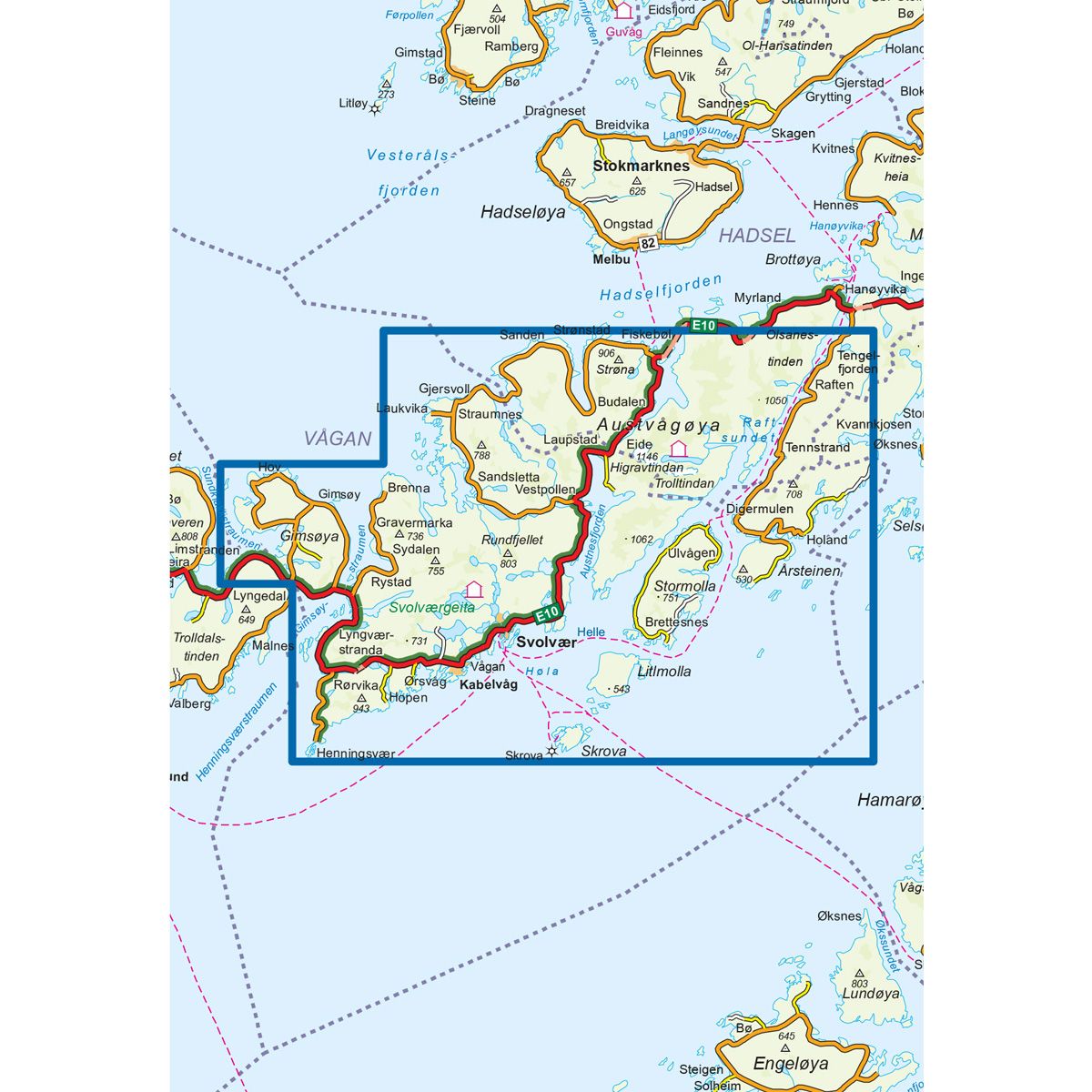
- The map covers Henningsvær, Kabelvåg, Skrova, Svolvær og Øksfjorden
- Scale 1:50 000 in water resistant material
€24.00
In stock
| Brand | Nordic Maps |
|---|---|
| SKU | 2671 |
| Map size | 70x100 cm |
| Scale | 1: 50 000 |
| Trails | Hiking trails |
| Updated | 2016 |
| Material | Plastic fiber |
| Map usage | Hiking |
| Accommodation | Serviced cabins, Unattended cabins, Self-catering cottages, hotels |
| EAN | 7046660026717 |
| Partner | The Norwegian Trekking Association |
| Map both sides | No |
| Country | Norway |
| Destinations | Austvågøya, Fiskebøl, Henningsvær, Kabelvåg, Laukvika, Raftsundet, Skrova, Svolvær, Vågakallen, Øksfjorden |
| Format | Foldable |
| Language | Norwegian, English |
| Series | Hiking maps |
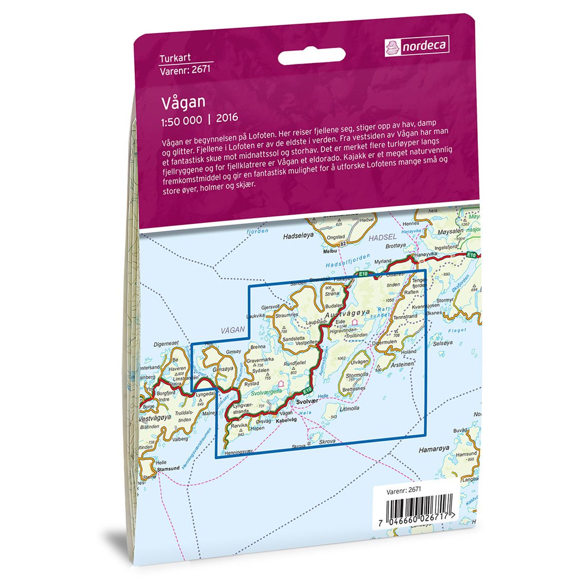
Vågan is the portal to Lofoten. Here the mountains rise up from the mist and glittering sea. The mountains of Lofoten are among the oldest in the world. The west side of Vågan offers stupendous views of the Midnight Sun and open sea. There are several marked trails along the mountain ridges, and Vågan is a mountain climber's paradise. A kayak is an environmentally friendly form of transport, and a wonderful way to explore the shores and archipelago of Lofoten.
DNT hiking maps
This map series was developed in cooperation with The Norwegian Trekking Association (DNT) and contains DNT trails, cabins and other useful trekking information. A few of the maps also have ski trails.
The DNT maps are published in three different scales (levels of detail).
1:25 000 for more defined and detailed information. Suitable for shorter treks.
1:50 000 is the optimal scale for treks.
1:100 000 offers a good overview of larger areas and is useful when planning trips.
The maps are printed on durable and weatherproof plastic fibre or paper material.
Language: Norwegian and English