Norway
  Deutsch
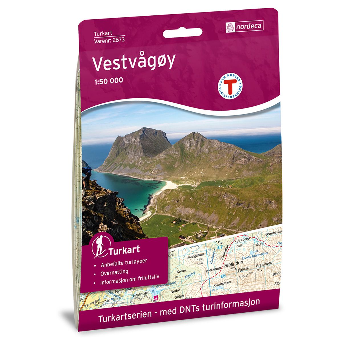
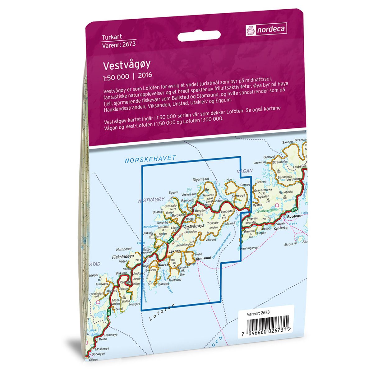

Vestvågøy DNT hiking map
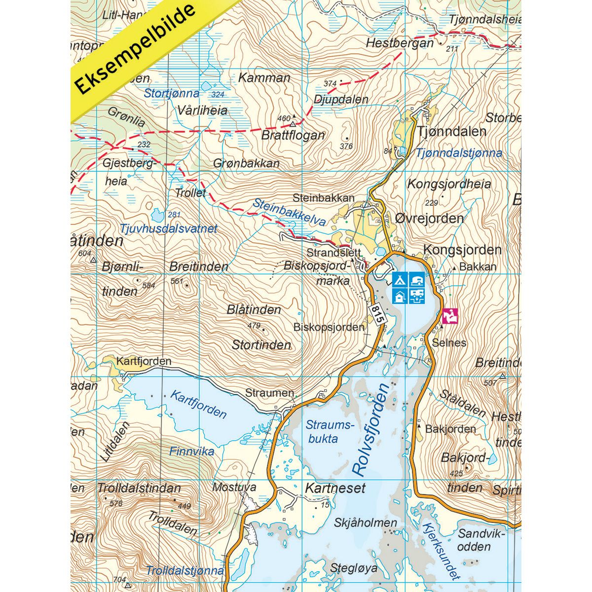
Map with Norwegian Trekking Association information about trails and cabins.
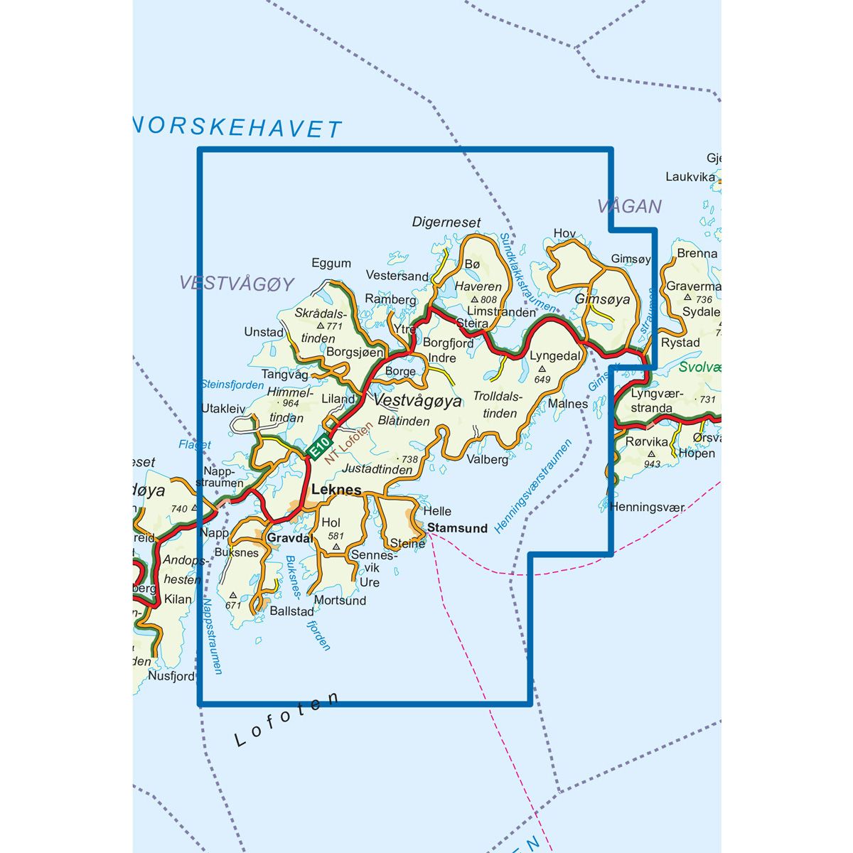
- The map covers Ballstad, Eggum, Henningsvær, Leknes og Stamsund
- Scale 1:50 000 in water resistant material
€24.00
In stock
| Brand | Nordic Maps |
|---|---|
| SKU | 2673 |
| Map size | 70x100 cm |
| Scale | 1: 50 000 |
| Trails | Hiking trails |
| Updated | 2016 |
| Material | Plastic fiber |
| Map usage | Hiking, Cross Country |
| Accommodation | Serviced cabins, Unattended cabins, Self-catering cottages, hotels |
| EAN | 7046660026731 |
| Partner | The Norwegian Trekking Association |
| Map both sides | No |
| Country | Norway |
| Destinations | Ballstad, Eggum, Gimsøya, Gravdal, Henningsvær, Leknes, Stamsund, Vestvågøya |
| Format | Foldable |
| Language | Norwegian, English |
| Series | Hiking maps |
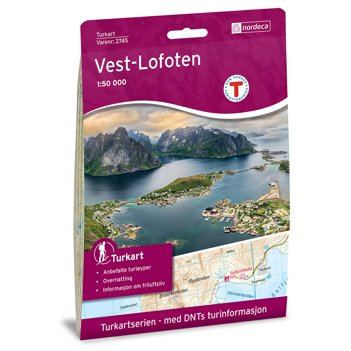
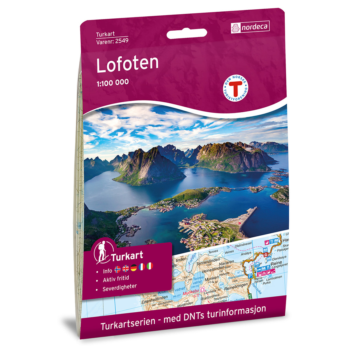
Vestvågøy in Lofoten is a popular tourist destination, which offers views of the Midnight Sun, beautiful scenery and a broad range of recreational activities. The island offers tall mountains, charming fishing villages such as Ballstad and Stamsund, and the white sandy beaches of Hauklandsstranden, Viksanden, Unstad, Utakleiv and Eggum. The Vestvågøy map is part of our 1:50,000 series that covers Lofoten. Have a look at the 1:50,000 maps of Vågan and West Lofoten and the 1:100,000 Lofoten map.
DNT hiking maps
This map series was developed in cooperation with The Norwegian Trekking Association (DNT) and contains DNT trails, cabins and other useful trekking information. A few of the maps also have ski trails.
The DNT maps are published in three different scales (levels of detail).
1:25 000 for more defined and detailed information. Suitable for shorter treks.
1:50 000 is the optimal scale for treks.
1:100 000 offers a good overview of larger areas and is useful when planning trips.
The maps are printed on durable and weatherproof plastic fibre or paper material.
Language: Norwegian and English