Norway
  Deutsch
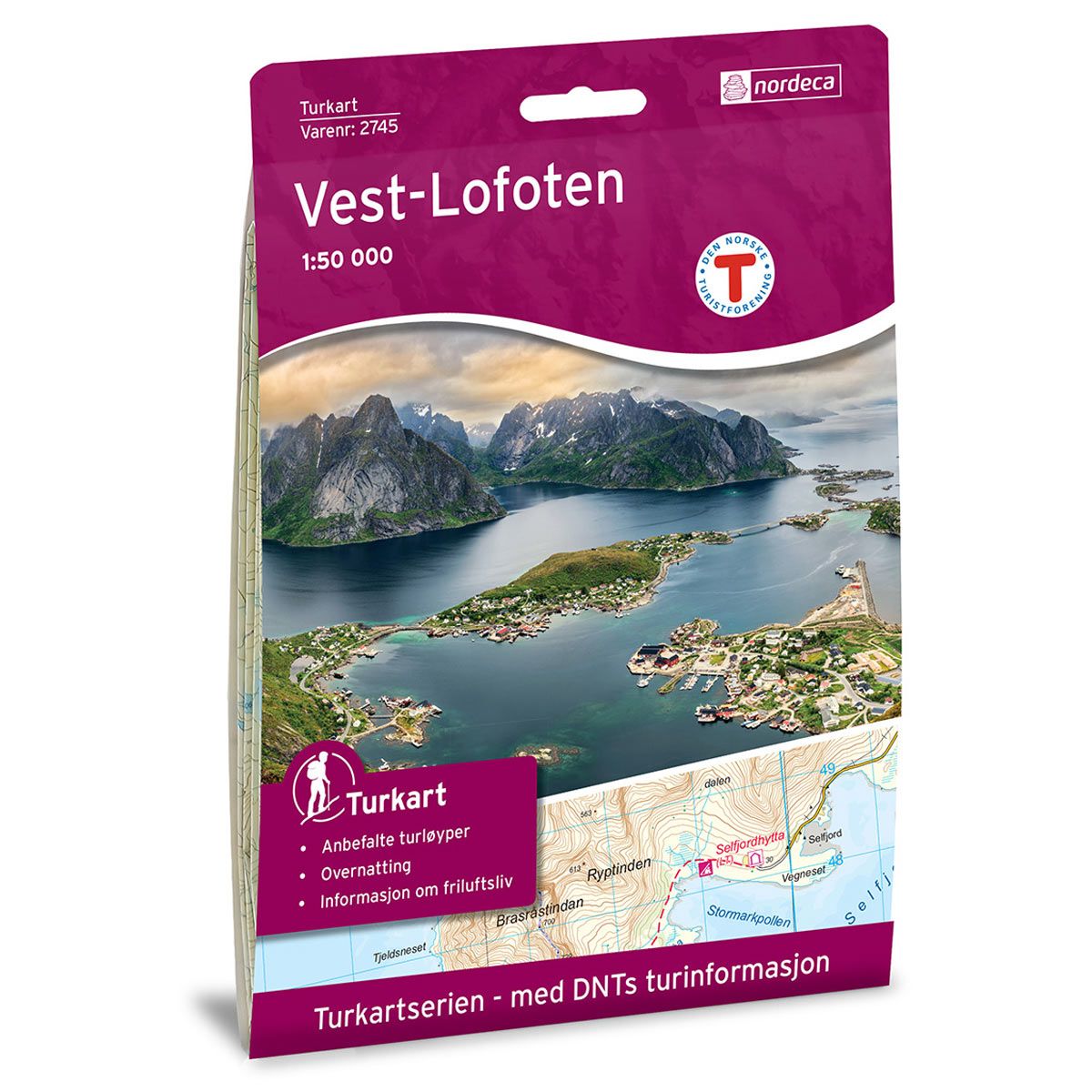
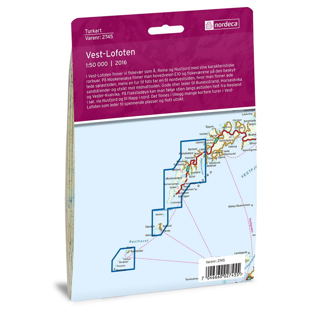


Vest-Lofoten DNT hiking map
Map with Norwegian Trekking Association information about trails and cabins.
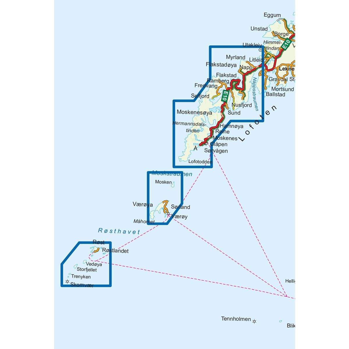
- The map covers Flakstadøya, Moskstraumen, Ramberg, Reine, Røst og Å
- Scale 1:50 000 in water resistant material
€24.00
In stock
| Brand | Nordic Maps |
|---|---|
| SKU | 2745 |
| Map size | 70x100 cm |
| Scale | 1: 50 000 |
| Trails | Hiking trails |
| Updated | 2016 |
| Material | Plastic fiber |
| Map usage | Hiking |
| Accommodation | Serviced cabins, Unattended cabins, Self-catering cottages, hotels |
| EAN | 7046660027455 |
| Cabins in the map | Munkebu, Selfjordhytta, Fredvang |
| Partner | The Norwegian Trekking Association |
| Map both sides | No |
| Country | Norway |
| Destinations | Flakstadøya, Hermannsdalstinden, Lofoten, Lofotodden, Mosken, Moskenesøya, Moskstraumen, Ramberg, Reine, Røst, Skomvær, Sørland, Sørvågen, Værøya, Å |
| Format | Foldable |
| Language | Norwegian, English |
| Series | Hiking maps |
Western Lofoten includes fishing villages such as Å, Reine and Nusfjord, with their distinctive fishing huts. On Moskenesøya, the E10 highway and fishing villages are located on the protected southeast side. A hiking trail leads to the northwest side, with its deserted sandy beaches and a good views of the Midnight Sun. There are good trails leading to Bunesstrand, Horseidvika and Vester-Kvalvika. On Flakstadøya, you can follow the path along the east side from Nesland in the south, continuing to Nusfjord and then to Napp in the north. There are also several shorter hikes in West Lofoten that lead to fascinating places with great views.
DNT hiking maps
This map series was developed in cooperation with The Norwegian Trekking Association (DNT) and contains DNT trails, cabins and other useful trekking information. A few of the maps also have ski trails.
The DNT maps are published in three different scales (levels of detail).
1:25 000 for more defined and detailed information. Suitable for shorter treks.
1:50 000 is the optimal scale for treks.
1:100 000 offers a good overview of larger areas and is useful when planning trips.
The maps are printed on durable and weatherproof plastic fibre or paper material.
Language: Norwegian and English