Norway
  Deutsch
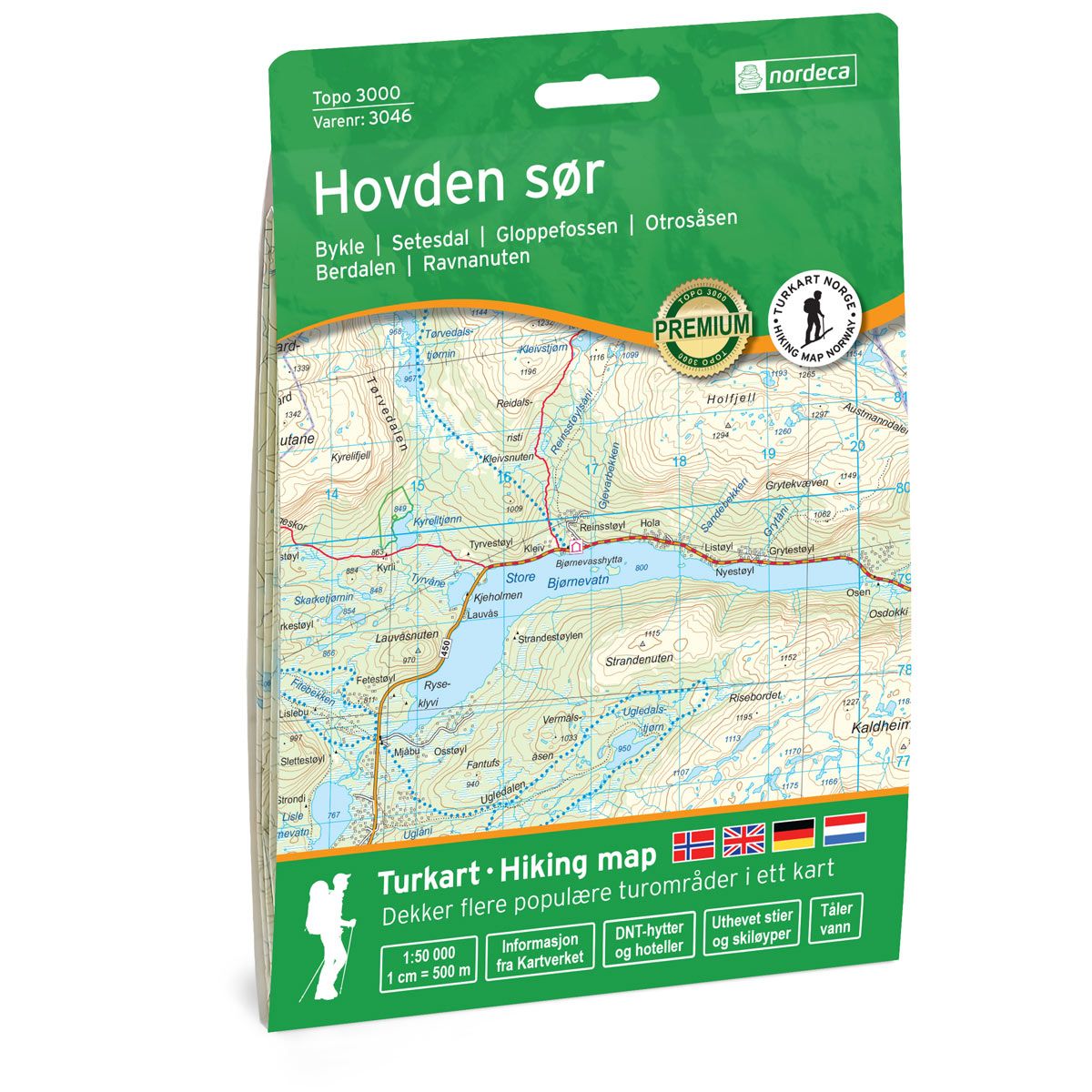
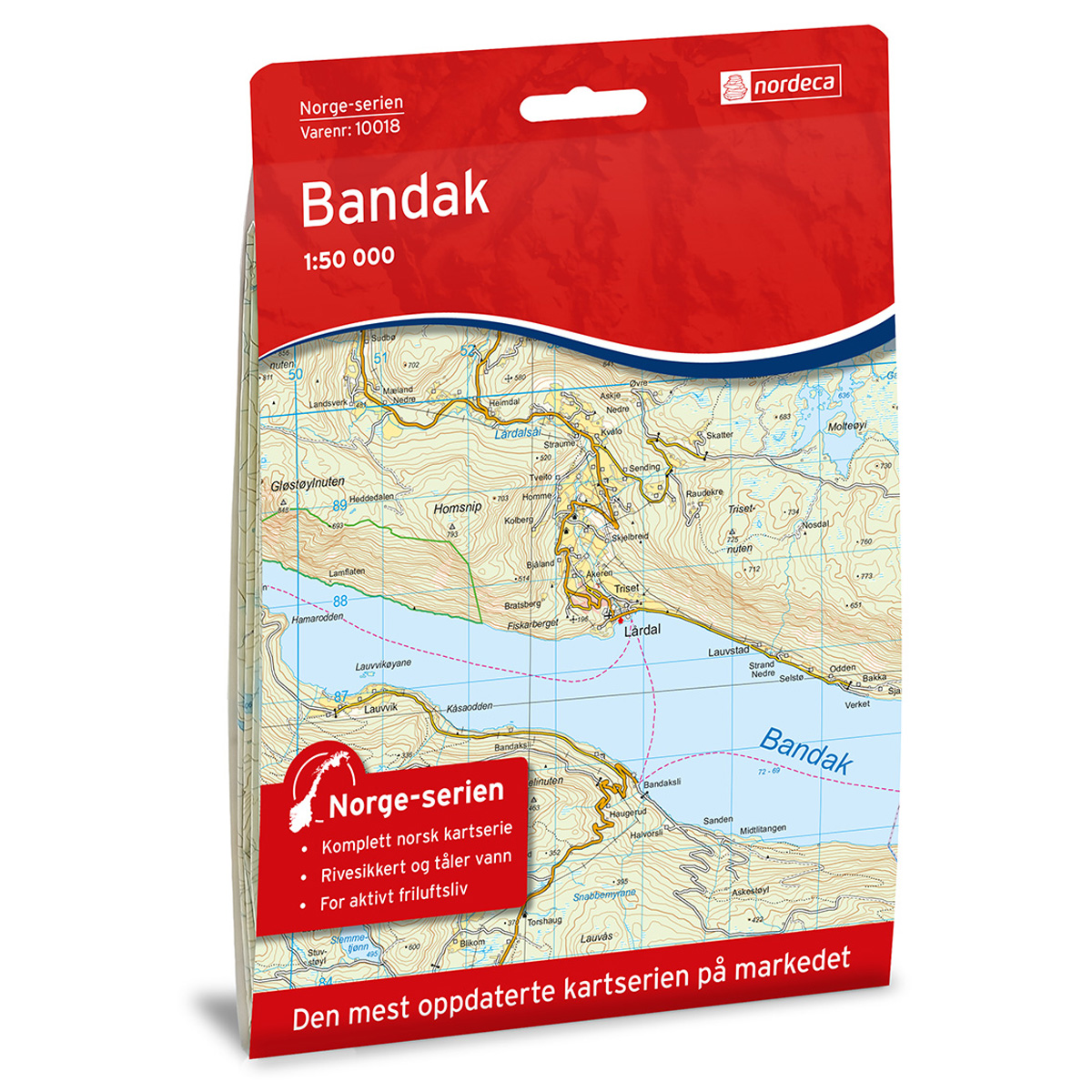

Hovden sør Topo 3000 Hiking map
Covers popular trekking areas with highlighted trekking information
- Scale 1:50 000 in water resistant material
€25.00
In stock
| Brand | Nordic Maps |
|---|---|
| SKU | 3046 |
| Map size | 70x100 cm |
| Scale | 1: 50 000 |
| Trails | Hiking trails |
| Updated | 2020 |
| Material | Plastic fiber |
| Map usage | Hiking, Cross Country |
| Accommodation | Serviced cabins, Unattended cabins, Self-catering cottages, hotels |
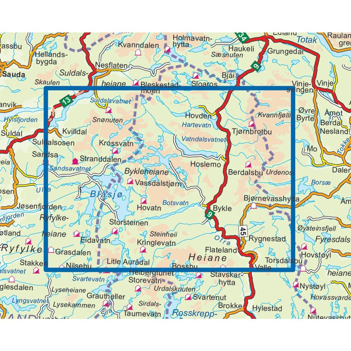
| Cabins in the map | Bjørnevasshytta, Stavskar, Krossvatn, Stranddalen, Berdalsbu, Jonstølen, Tjørnbrotbu, Nilsebu, Kringlevatn, Grasdalen, Storsteinen, Eidavatn, Hovatn, Vassdalstjørn, Sandsa |
| Map both sides | Yes |
| Country | Norway |
| Destinations | Bykle, Setesdal, Gloppefossen, Otrosåsen, Berdalen, Ravnanuten |
| Format | Foldable |
| Language | Norwegian, English, German, Dutch |
| Series | Topo 3000 |
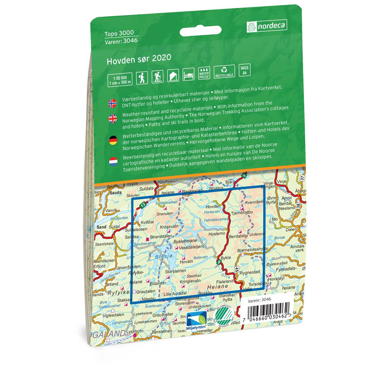
Topo 3000 is a detailed map covering over 3000 km2. The map covers an area of wide expanse and deep valleys, and there are many trips worth a visit. The area is known for its endless cross-country trails and versatile hiking terrain. Here you can also bring both stroller and wheelchair up in the terrain. Some popular hiking destinations include Börteemannsbekken, Hartevassnutane and Otrosåsen. Here you will find tours such as: Skreivasskleivane - Krossvatn 6.3 km, Byklestien 1.8 km, Øvre Moen to Stranddalen 4.8 km. Example of cabins: Vassdalstjørn, Krossvatn, Berdalsbu (self-catering)
Topo 3000
Topo 3000 is a detailed trail 1:50,000 scaled map with information from the Norwegian Mapping Authority. The map includes hiking trails, skiing trails and overnight accommodations. Trekking information is in bold type for better legibility. The trail map covers more than 3000 km2 and has been adapted to include several popular trekking areas.
The maps are printed on durable and weatherproof plastic fibre or paper material.
The series is continuously being updated to four different languages: Norwegian, English, German and Dutch.