Norway
  Deutsch
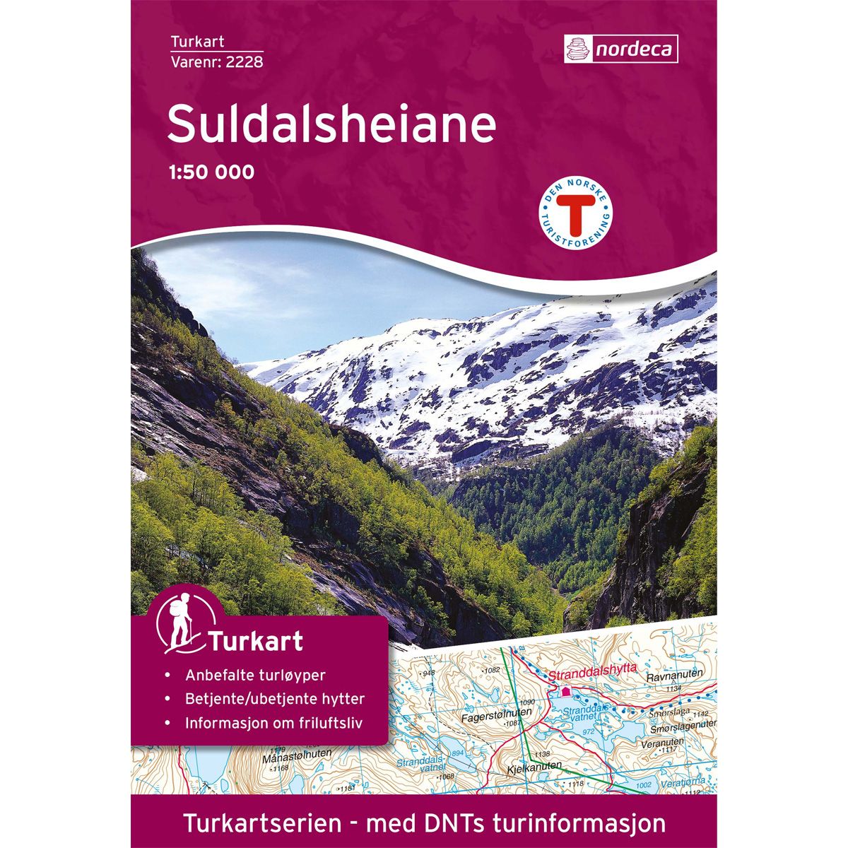
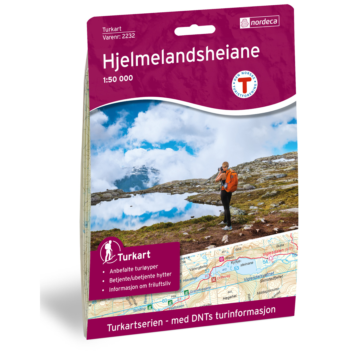

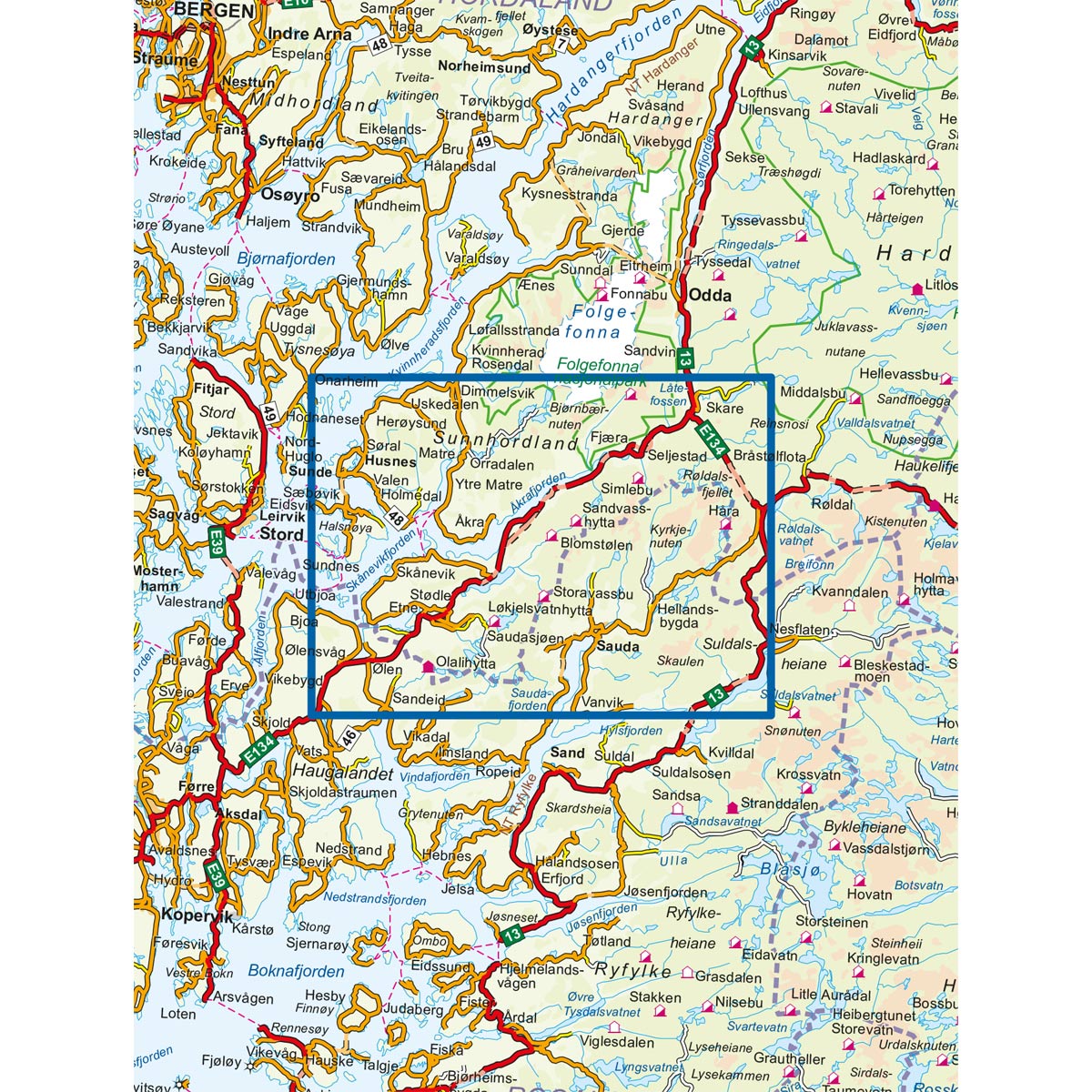
Suldalsheiene DNT hiking map
Map with Norwegian Trekking Association information about trails and cabins.
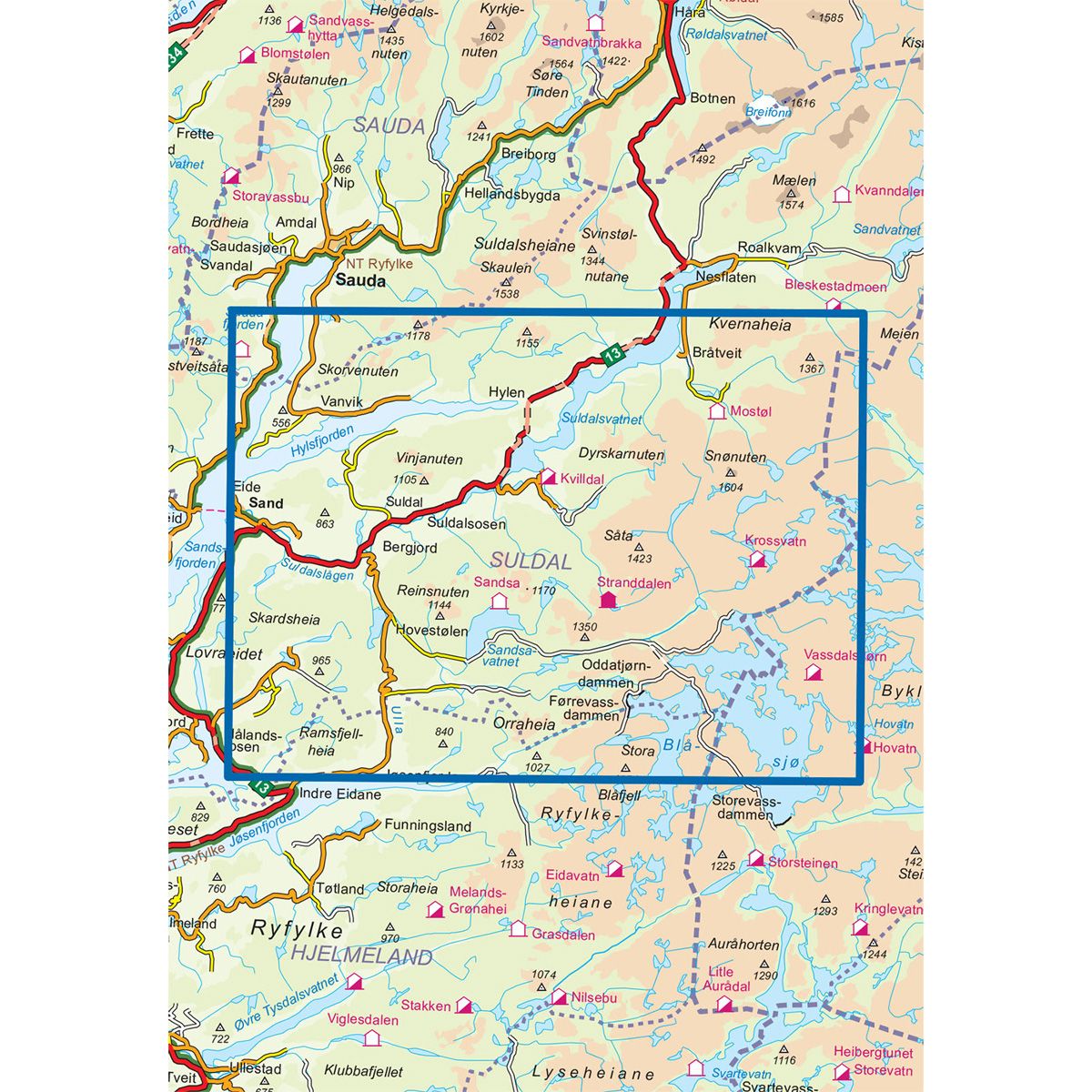
- The map covers Hylsfjorden, Ryfylkeheiane, Sand, Saudafjorden og Snønuten
- Scale 1:50 000
€24.00
In stock
| Brand | Nordic Maps |
|---|---|
| SKU | 2228 |
| Map size | 70x100 cm |
| Scale | 1: 50 000 |
| Trails | Hiking trails |
| Updated | 2009 |
| Material | Paper |
| Map usage | Hiking, Cross Country |
| Accommodation | Serviced cabins, Unattended cabins, Self-catering cottages, hotels |
| EAN | 7046660022283 |
| Partner | The Norwegian Trekking Association |
| Map both sides | No |
| Country | Norway |
| Destinations | Blåsjø, Hylsfjorden, Ryfylke, Ryfylkeheiane, Sand, Saudafjorden, Snønuten, Suldalsheiane, Suldalsvatnet, Ulla |
| Format | Foldable |
| Language | Norwegian, English |
| Series | Hiking maps |
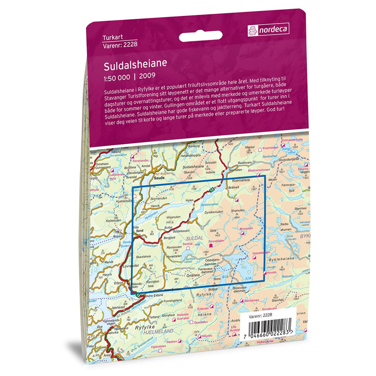
Suldalsheiane in Ryfylke is a popular recreation area all year round. The Stavanger Trekking Association has a network of trails with numerous options for both day trips and overnight treks. There are miles of marked and unmarked trails accessible in both summer and winter. The Gullingen area is a great starting point for treks in toward the moors of Suldahlsheiane. Suldahlsheiane also has good fishing lakes and hunting terrain. The Suldahlsheiane Trail Map will guide you to both shorter and longer treks on marked hiking trails or prepared ski trails.
DNT hiking maps
This map series was developed in cooperation with The Norwegian Trekking Association (DNT) and contains DNT trails, cabins and other useful trekking information. A few of the maps also have ski trails.
The DNT maps are published in three different scales (levels of detail).
1:25 000 for more defined and detailed information. Suitable for shorter treks.
1:50 000 is the optimal scale for treks.
1:100 000 offers a good overview of larger areas and is useful when planning trips.
The maps are printed on durable and weatherproof plastic fibre or paper material.
Language: Norwegian and English