Norway
  Deutsch
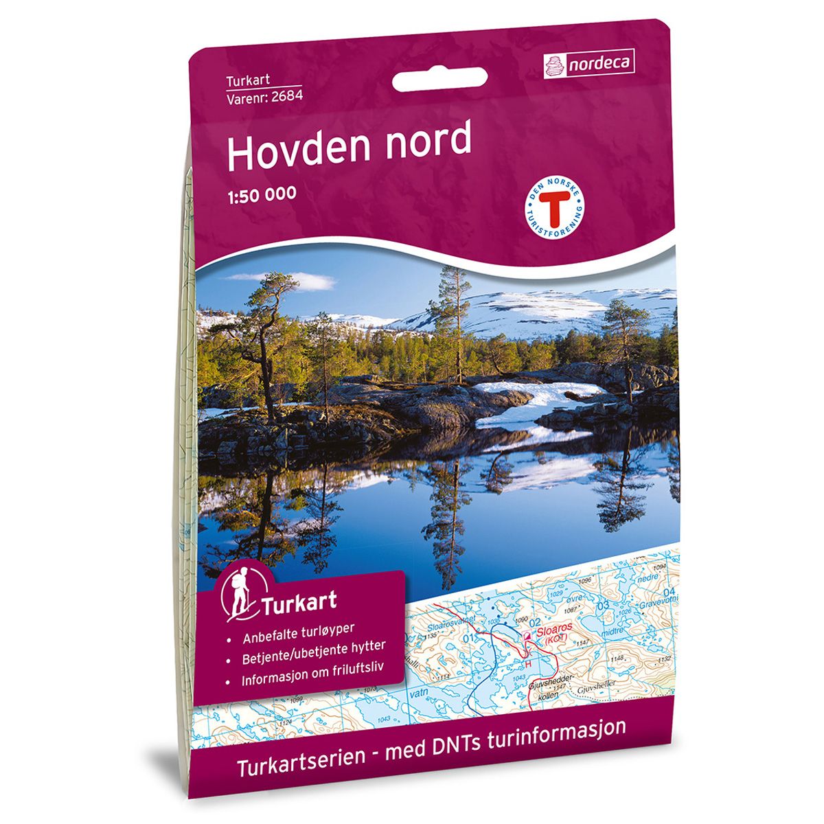
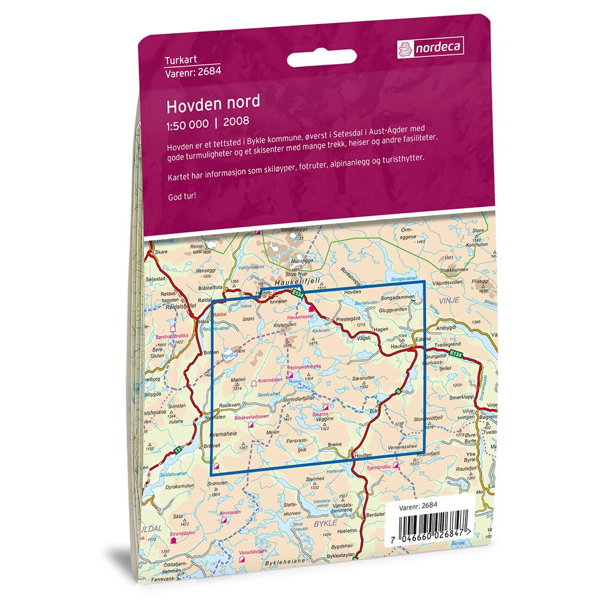
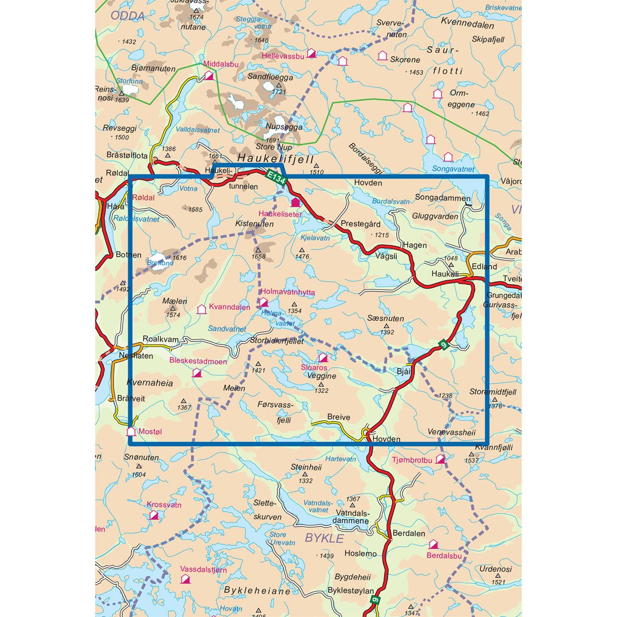

Hovden Nord DNT hiking map
Map with Norwegian Trekking Association information about trails and cabins.
- The map covers Edland, Hovden, Røldal, Suldalsheiane og Vågsli
- Scale 1:50 000
€24.00
Out of stock
| Brand | Nordic Maps |
|---|---|
| SKU | 2684 |
| Map size | 70x100 cm |
| Scale | 1: 50 000 |
| Trails | Hiking trails |
| Updated | 2008 |
| Material | Paper |
| Map usage | Hiking, Cross Country |
| Accommodation | Serviced cabins, Unattended cabins, Self-catering cottages, hotels |
| EAN | 7046660026847 |
| Partner | The Norwegian Trekking Association |
| Map both sides | No |
| Country | Norway |
| Destinations | Edland, Hovden, Røldal, Suldalsheiane, Vågsli |
| Format | Foldable |
| Language | Norwegian, English |
| Series | Hiking maps |
Hovden is a town in Bykle municipality in the north of Setesdal in Aust-Agder. It has good trails and a ski centre with several chairlifts, rope tows and other facilities. Hovden is divided into a North and South map. The trail map includes information about hiking and skiing trails, alpine facilities and tourist cabins. The map also has a text page with relevant information.
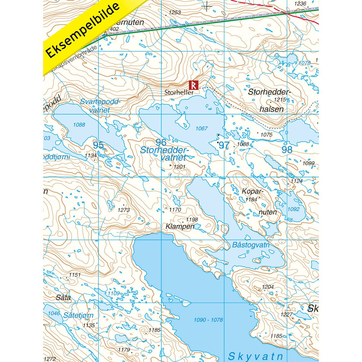
DNT hiking maps
This map series was developed in cooperation with The Norwegian Trekking Association (DNT) and contains DNT trails, cabins and other useful trekking information. A few of the maps also have ski trails.
The DNT maps are published in three different scales (levels of detail).
1:25 000 for more defined and detailed information. Suitable for shorter treks.
1:50 000 is the optimal scale for treks.
1:100 000 offers a good overview of larger areas and is useful when planning trips.
The maps are printed on durable and weatherproof plastic fibre or paper material.
Language: Norwegian and English