Norway
  Deutsch
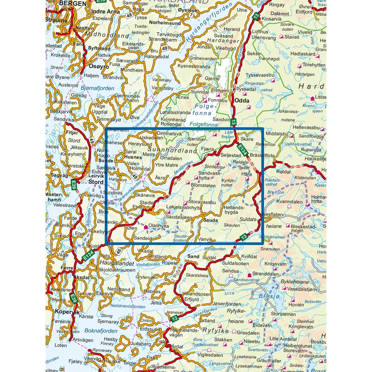
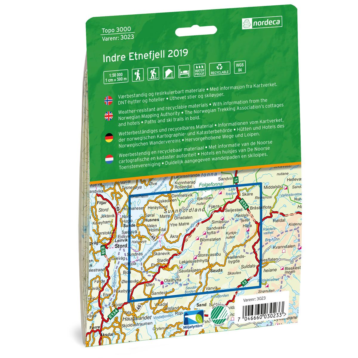
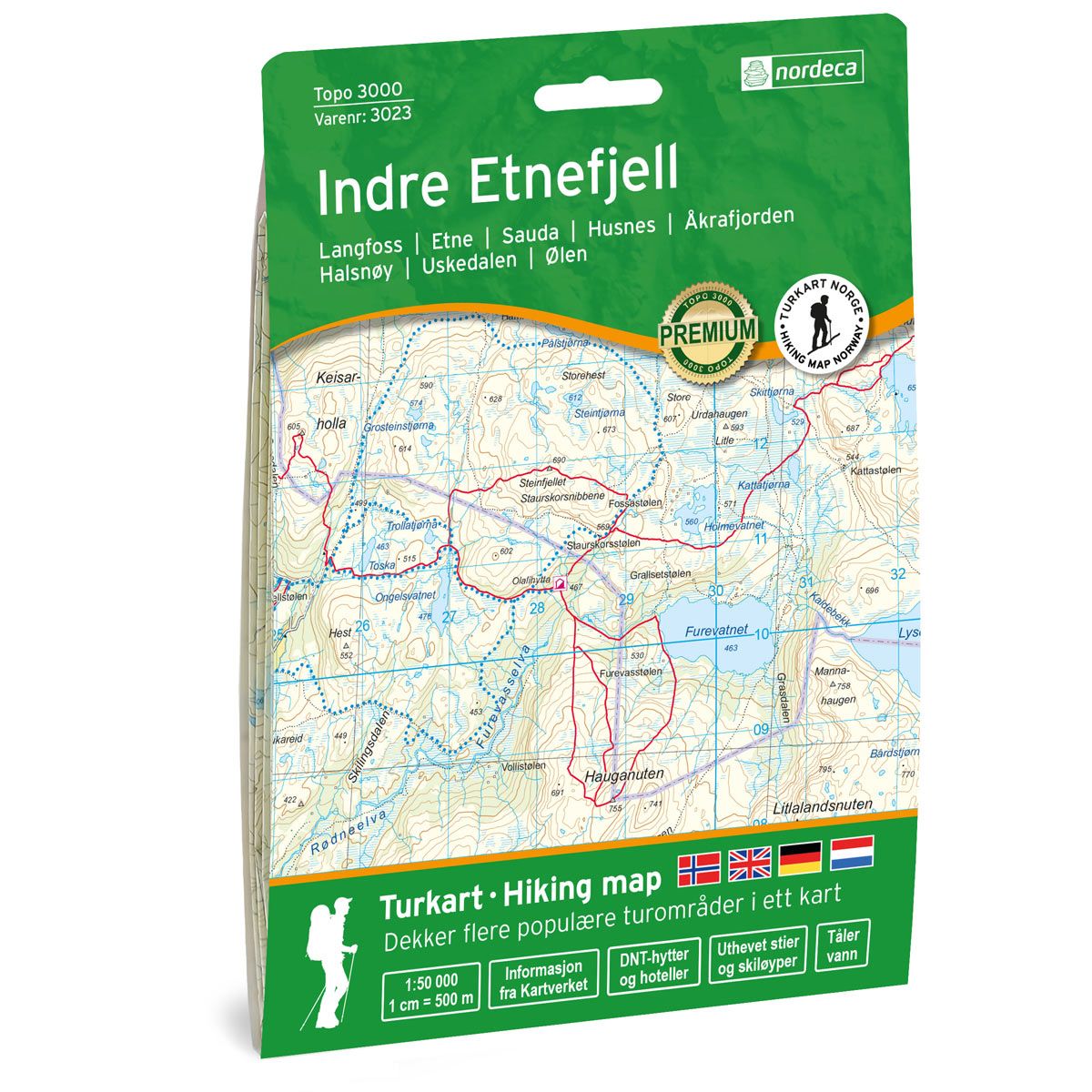

Indre Etnefjell Topo 3000 Hiking map
Covers popular trekking areas with highlighted trekking information
- Scale 1:50 000 in water resistant material
€25.00
Out of stock
| Brand | Nordic Maps |
|---|---|
| SKU | 3023 |
| Map size | 70x100 cm |
| Scale | 1: 50 000 |
| Trails | Hiking trails |
| Updated | 2019 |
| Material | Plastic fiber |
| Map usage | Hiking, Cross Country |
| Accommodation | Serviced cabins, Unattended cabins, Self-catering cottages, hotels |
| Cabins in the map | Olalihytta, Storavassbu, Løkjelsvatnhytta, Blomstølen, Strandvasshytta, Simlebu, Saubrehytta, Øvre Strandvatn hytta, Sandvasshytta, Håra |
| Map both sides | Yes |
| Country | Norway |
| Destinations | Etne, Sauda, Langfoss, Husnes, Åkrafjorden, Halsnøy, Uskedalen, Ølen |
| Format | Foldable |
| Language | Norwegian, English, German, Dutch |
| Series | Topo 3000 |
Topo 3000 is a detailed map covering over 3000 km2. Here you will find the hiking trails clearly marked and also accommodations in the area. & Nbsp; The area offers varied, easy terrain and lush mountain valleys, as well as hefty hillsides and peaks of up to 1400 meters. Indre Etnefjell is also a good place for fishing, where you will find trips such as: Brekkestølsnuten 4.4 km, Hike to Øvre Sandvatn 9.9 km, Rafdal-Teigland 18.7 km Example of cabins: Olalihytta (valet), Sandvasshytta, Simlebu (self-service).
Topo 3000
Topo 3000 is a detailed trail 1:50,000 scaled map with information from the Norwegian Mapping Authority. The map includes hiking trails, skiing trails and overnight accommodations. Trekking information is in bold type for better legibility. The trail map covers more than 3000 km2 and has been adapted to include several popular trekking areas.
The maps are printed on durable and weatherproof plastic fibre or paper material.
The series is continuously being updated to four different languages: Norwegian, English, German and Dutch.