Norway
  Deutsch
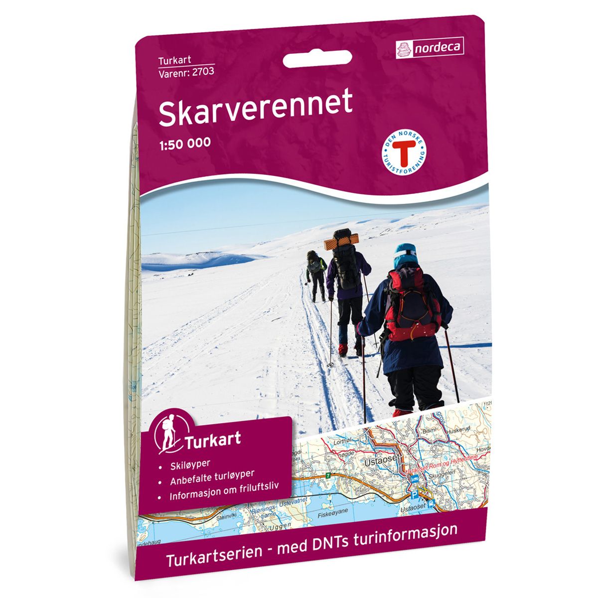
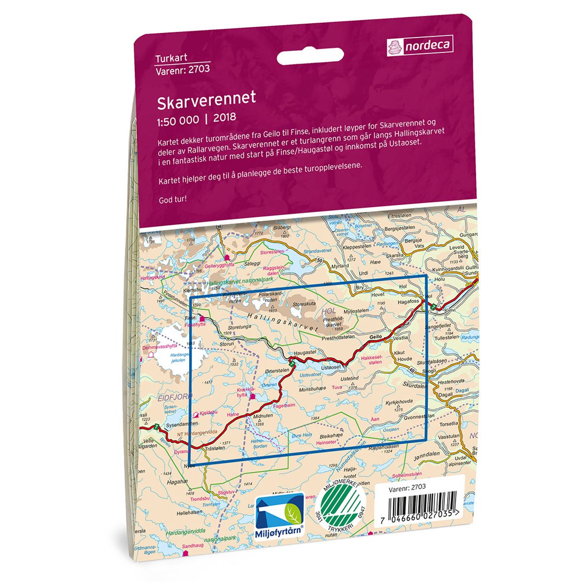

Skarverennet DNT hiking map
Map with Norwegian Trekking Association information about trails and cabins.
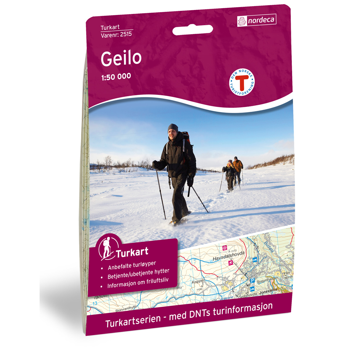
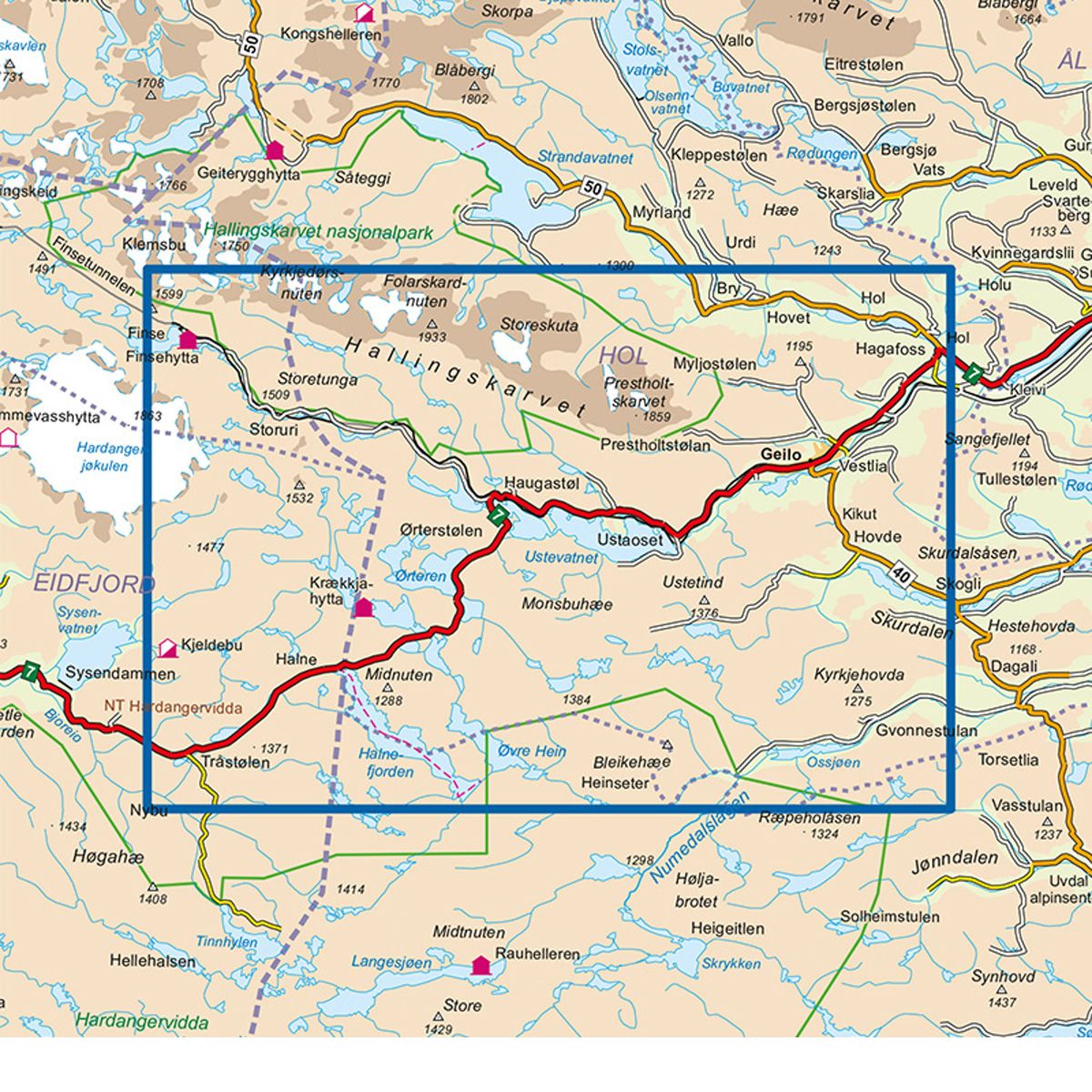
- The map covers Finse, Geilo, Hol, Hallingskarvet og Numedalslågen
- Scale 1:50 000 in water resistant material
€24.00
In stock
| Brand | Nordic Maps |
|---|---|
| SKU | 2703 |
| Map size | 70x100 cm |
| Scale | 1: 50 000 |
| Trails | Hiking trails |
| Updated | 2018 |
| Material | Plastic fiber |
| Map usage | Hiking, Cross Country |
| Accommodation | Serviced cabins, Unattended cabins, Self-catering cottages, hotels |
| EAN | 7046660027035 |
| Partner | The Norwegian Trekking Association |
| Map both sides | No |
| Country | Norway |
| Destinations | Dagali, Finse, Folarskardnuten, Geilo, Hallingskarvet, Hallingskarvet nasjonalpark, Halnefjorden, Hol, Numedalslågen, Ustevatnet, Vats |
| Format | Foldable |
| Language | Norwegian, English |
| Series | Hiking maps |
The map covers areas from Geilo to Finse, including ski tracks for the Skarverennet ski race and sections of the Rallarvegen cycling route. Skarverennet is a cross-country trail that follows Hallingskarvet through an amazing natural landscape. It starts at Finse/Haugastøl, with an entrance is at Ustaoset. The map will help you plan the best trekking experiences.
DNT hiking maps
This map series was developed in cooperation with The Norwegian Trekking Association (DNT) and contains DNT trails, cabins and other useful trekking information. A few of the maps also have ski trails.
The DNT maps are published in three different scales (levels of detail).
1:25 000 for more defined and detailed information. Suitable for shorter treks.
1:50 000 is the optimal scale for treks.
1:100 000 offers a good overview of larger areas and is useful when planning trips.
The maps are printed on durable and weatherproof plastic fibre or paper material.
Language: Norwegian and English