Norway
  Deutsch
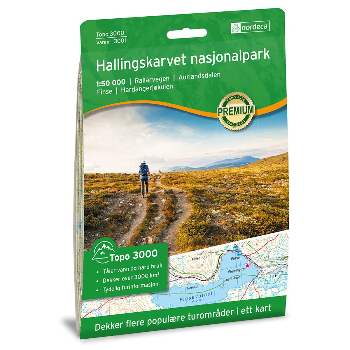
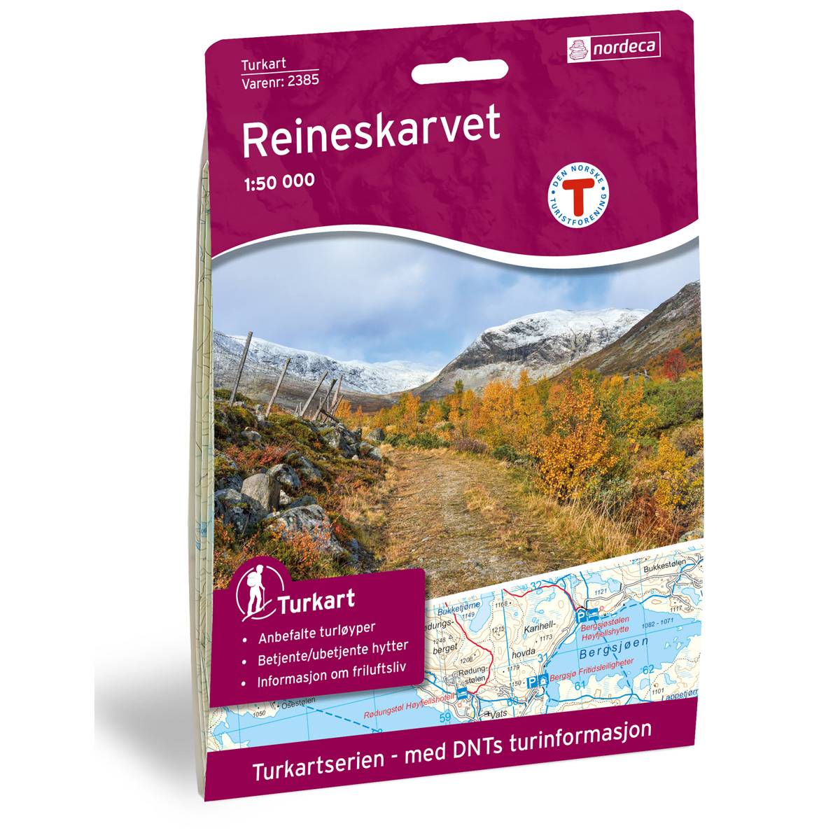

Hallingskarvet nasjonalpark Topo 3000 hiking map
Covers popular trekking areas with highlighted trekking information
- The map covers Rallarvegen, Aurlandsdalen, Finse og Hallingskarvet nasjonalpark
- Scale 1:50 000 in water resistant material
€25.00
In stock
| Brand | Nordic Maps |
|---|---|
| SKU | 3001 |
| Map size | 70x100 cm |
| Scale | 1: 50 000 |
| Trails | Hiking trails |
| Updated | 2022 |
| Material | Plastic fiber |
| Map usage | Hiking, Cross Country |
| Accommodation | Serviced cabins, Unattended cabins, Self-catering cottages, hotels |
| Attractions | Kjosfossen |
| EAN | 7046660030011 |
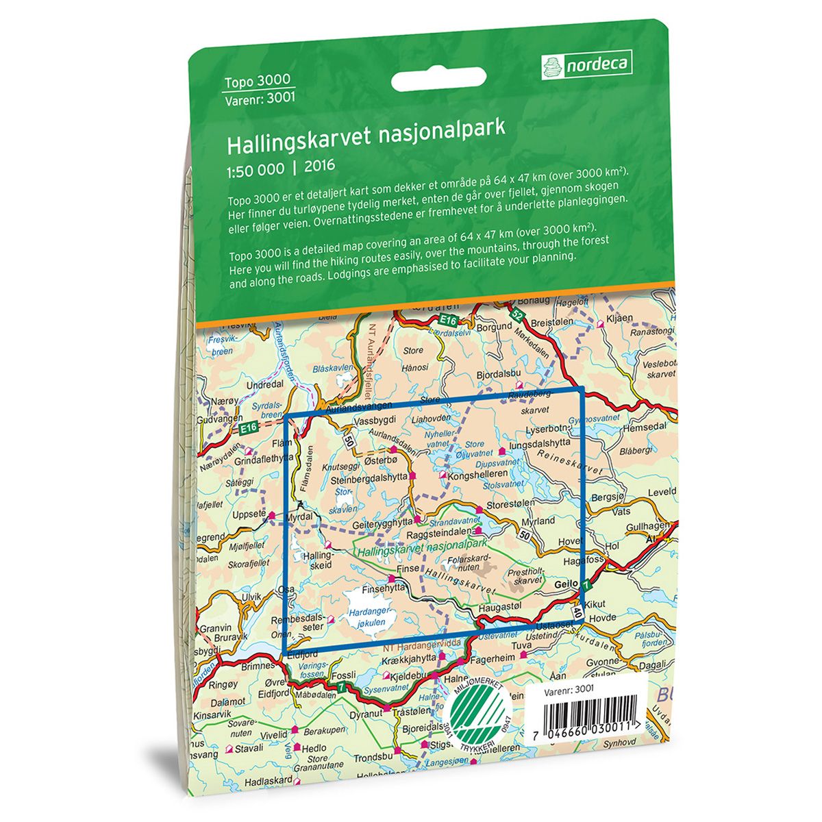
| Cabins in the map | Finsehytta, Hallingskeid, Demmevasshytta, Rembesdalseter, Østerbø, Steinbergdalshytta, Geiterygghytta, Kaldavasshytta, Kongshelleren, Iungsdalshytta, Storestølen, Hakkesetstølen, Raggsteindalen, Flåm, Myrdal |
| Map both sides | Yes |
| Country | Norway |
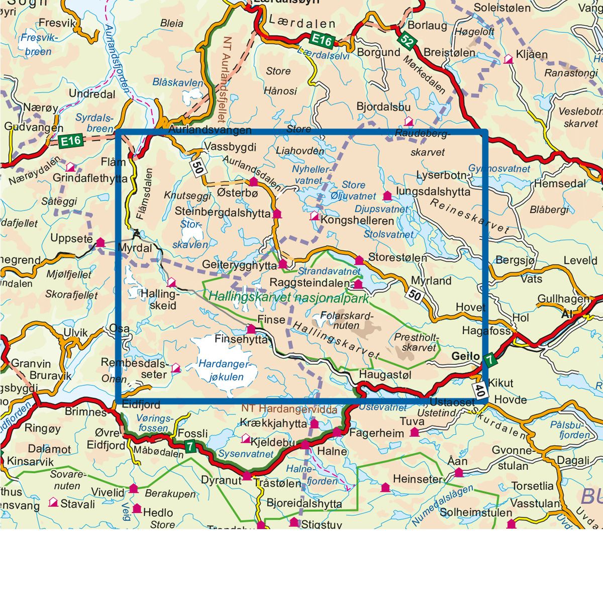
| Destinations | Rallarvegen, Aurlandsdalen, Finse, Hardangerjøkulen, Hallingskarvet nasjonalpark |
| Format | Foldable |
| Language | Norwegian, English |
| Series | Topo 3000 |
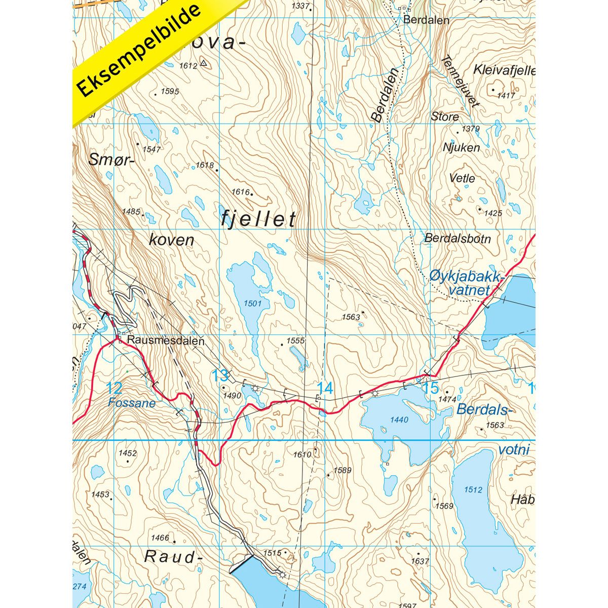
Topo 3000 Hallingskarvet is a detailed map that covers more than 3000 km2. This includes both trails and overnight accommodations in the area, which clearly marked on the map. The map covers Hallingskarvet, but is also perfect when cycling the Rallarvegen route, hiking in Aurlandsdalen, roaming the Hardangerjøkulen glacier, or trekking from cabin to cabin in the areas of Hallingskeid or Finse.
Topo 3000
Topo 3000 is a detailed trail 1:50,000 scaled map with information from the Norwegian Mapping Authority. The map includes hiking trails, skiing trails and overnight accommodations. Trekking information is in bold type for better legibility. The trail map covers more than 3000 km2 and has been adapted to include several popular trekking areas.
The maps are printed on durable and weatherproof plastic fibre or paper material.
The series is continuously being updated to four different languages: Norwegian, English, German and Dutch.