Norway
  Deutsch
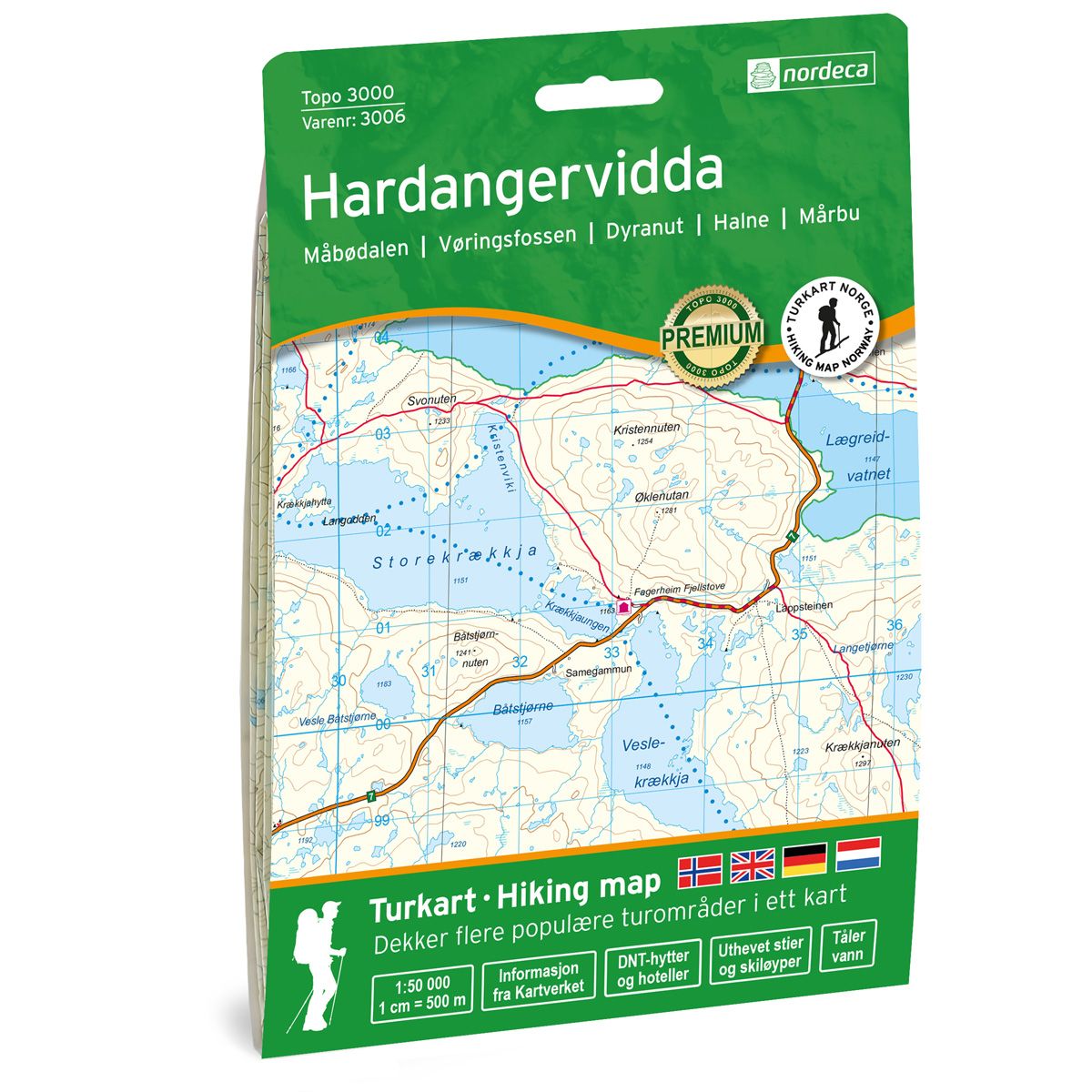
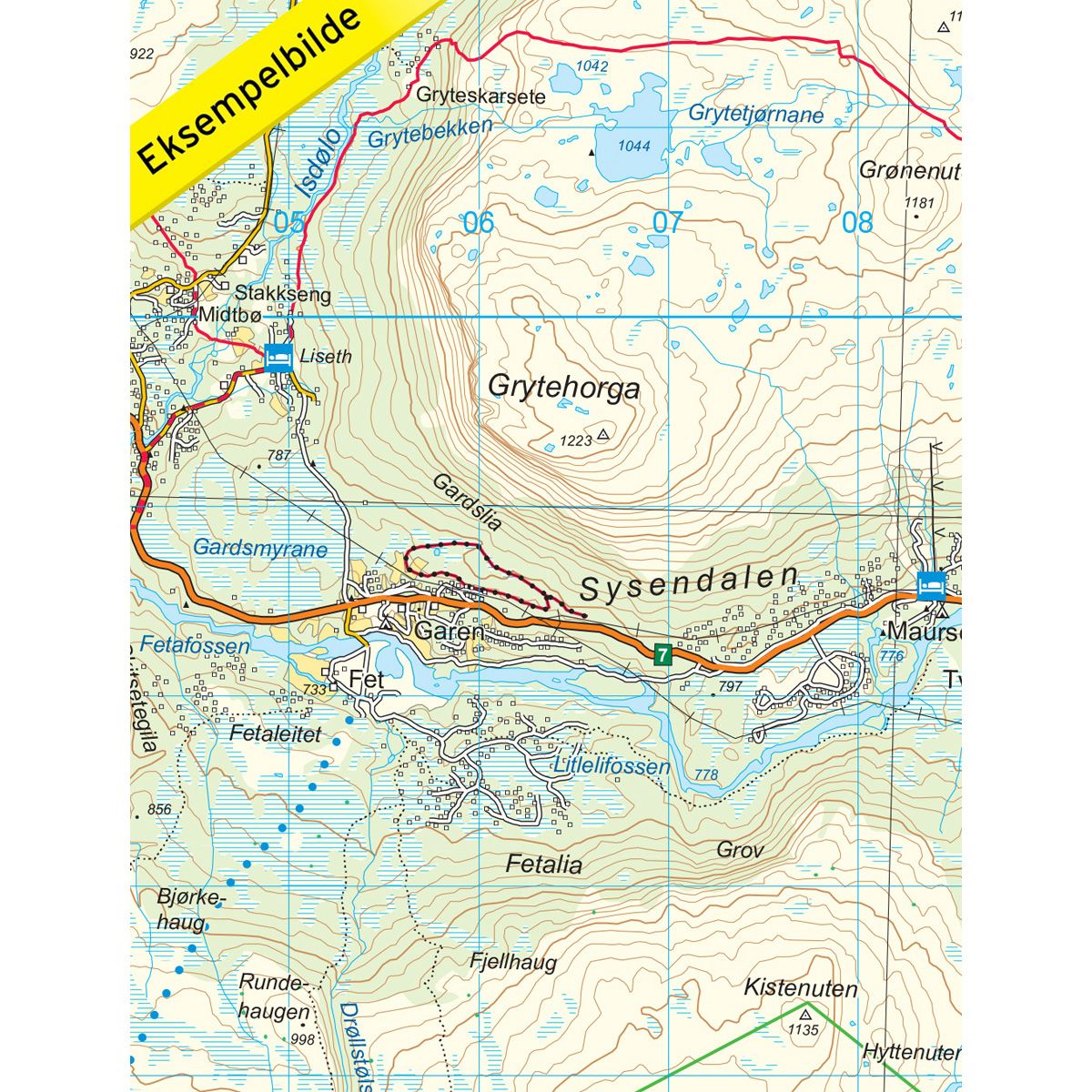


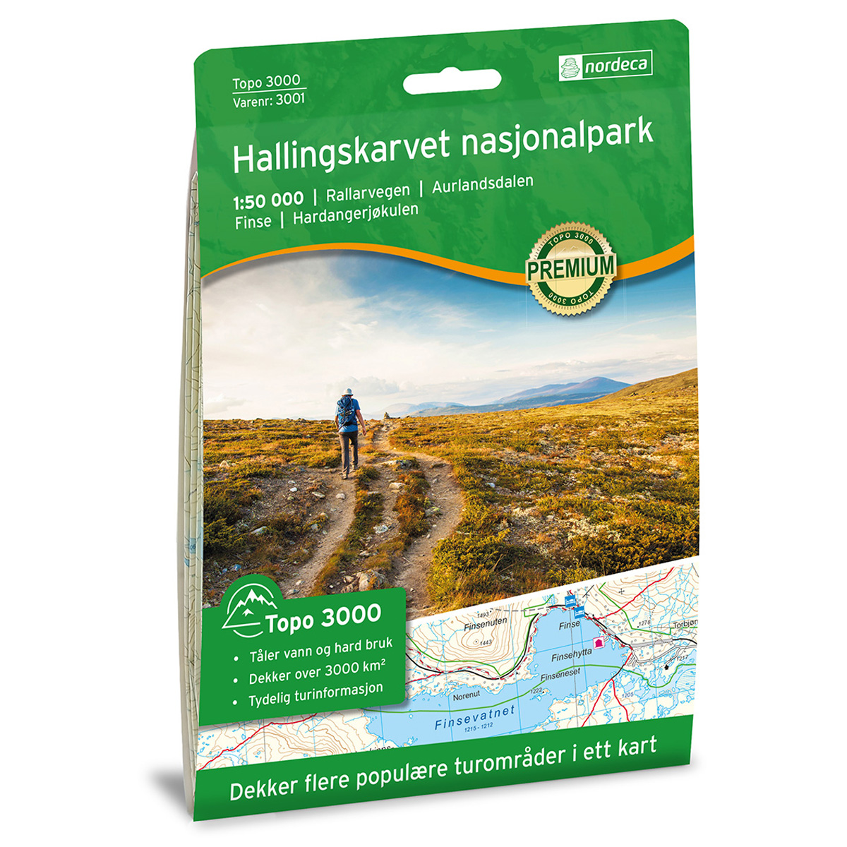
Hardangervidda Topo 3000 hiking map
Covers popular trekking areas with highlighted trekking information
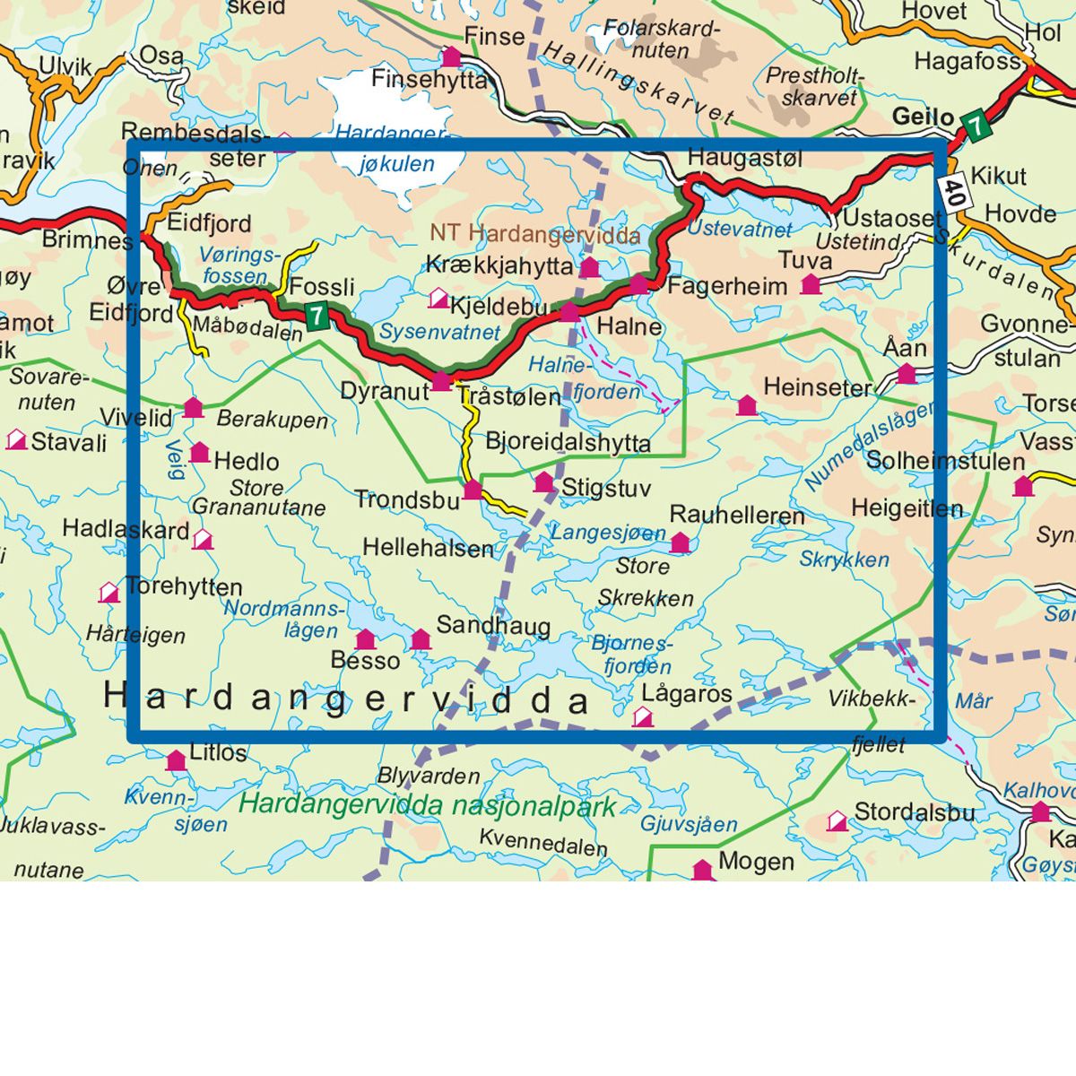
- The map covers Måbødalen, Vøringsfossen, Dyranut, Halne og Mårbu
- Scale 1:50 000 in water resistant material
€25.00
In stock
| Brand | Nordic Maps |
|---|---|
| SKU | 3006 |
| Map size | 70x100 cm |
| Scale | 1: 50 000 |
| Trails | Hiking trails |
| Updated | 2016 |
| Material | Plastic fiber |
| Map usage | Hiking, Cross Country |
| Accommodation | Serviced cabins, Unattended cabins, Self-catering cottages, hotels |
| Attractions | Vøringsfossen |
| EAN | 7046660030066 |
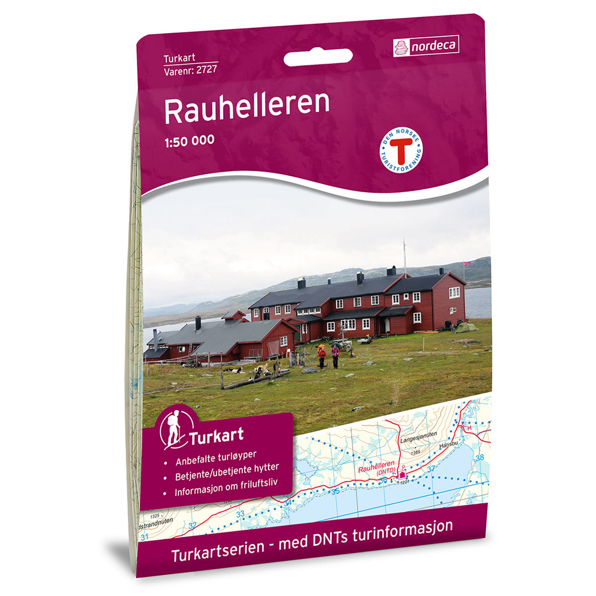
| Cabins in the map | Besso turisthytte, Sandhaug, Hadlaskard, Stigstu, Trondsbu, Hedlo, Vivelid, Dyranut, Kjeldebu, Liseth, Fossli, Tuva turisthytte, Krækkjahytta, Mårbu seter og fjellstue, Mårbu, Rauhelleren, Heinseter, Åan turisthytte, Halne Fjellstova, Fagerheim Fjellstove |
| Map both sides | Yes |
| Country | Norway |
| Destinations | Måbødalen, Vøringsfossen, Dyranut, Halne, Mårbu |
| Format | Foldable |
| Language | Norwegian, English, German, Dutch |
| Series | Topo 3000 |
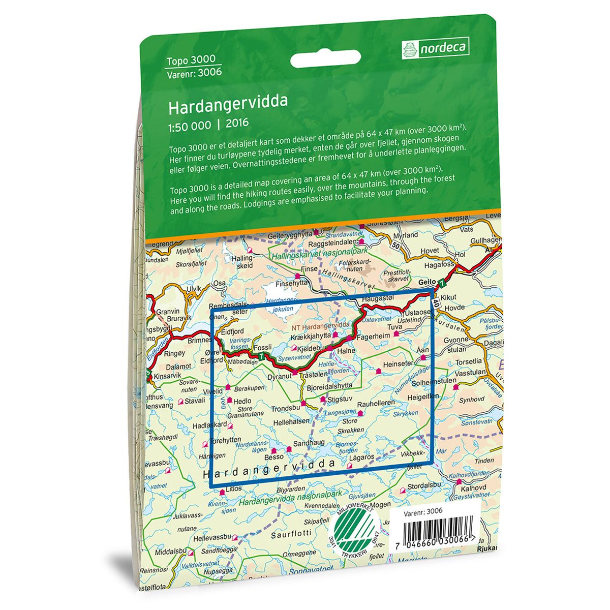
Topo 3000 is a detailed map that covers more than 3000 km2. With its flat moors, Hardangervidda is the largest mountain plateau in the Nordic countries. Here there are good fishing opportunities, abundant and varied flora and fauna, and spectacular waterfalls. Hardangervidda offers outdoor activities all year round, and has trekking areas suited for both experienced and less experienced mountaineers. Just south of Ustaoset stands Ustetind mountain, and behind Halne Fjellstugu (Halne Mountain Lodge) stands Halnekollen. Both are simple and easy treks for the whole family. Dyranut Fjellstova (Dyranut Mountain Lodge) is a good starting point for treks in Hardangervidda.
Topo 3000
Topo 3000 is a detailed trail 1:50,000 scaled map with information from the Norwegian Mapping Authority. The map includes hiking trails, skiing trails and overnight accommodations. Trekking information is in bold type for better legibility. The trail map covers more than 3000 km2 and has been adapted to include several popular trekking areas.
The maps are printed on durable and weatherproof plastic fibre or paper material.
The series is continuously being updated to four different languages: Norwegian, English, German and Dutch.