Norway
  Deutsch
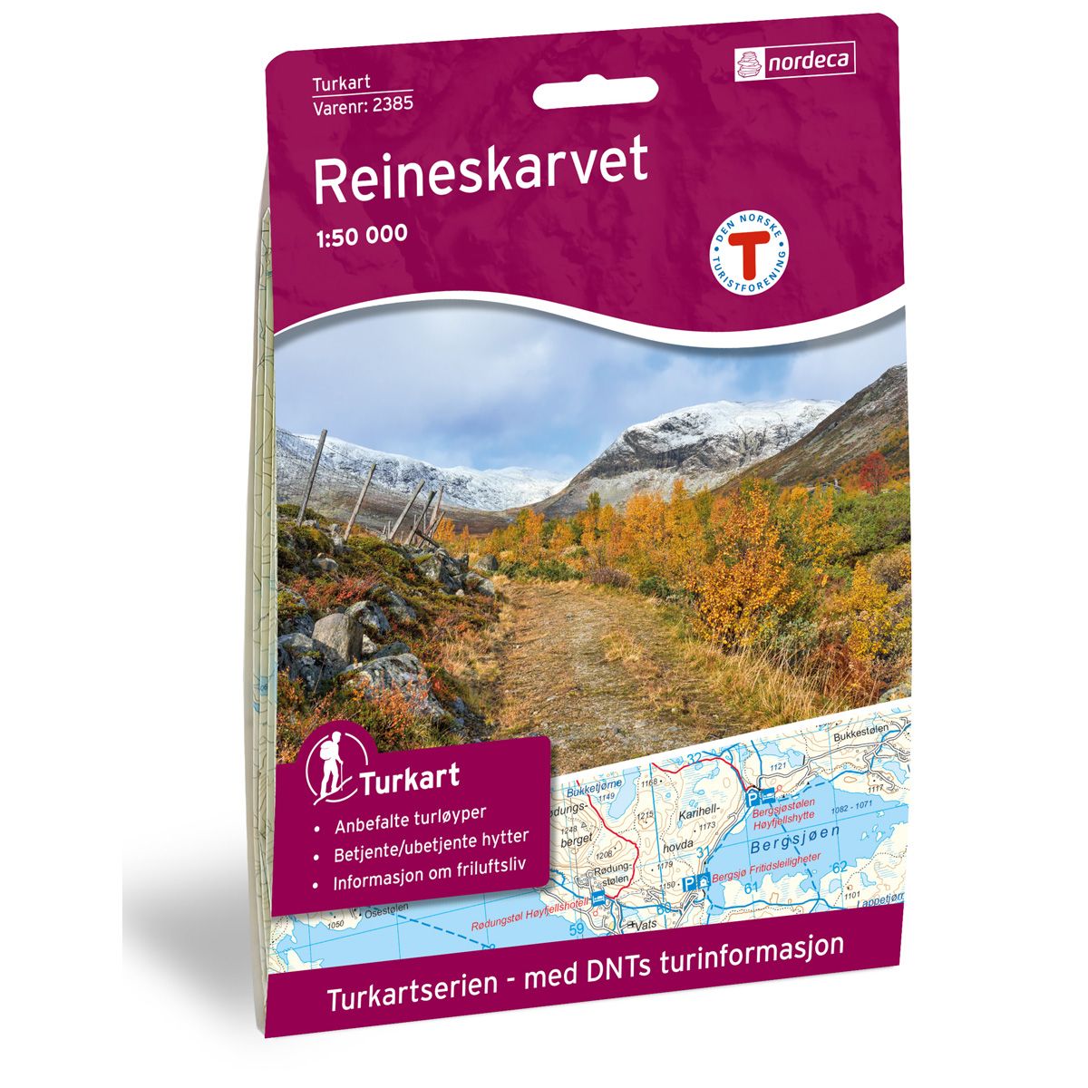
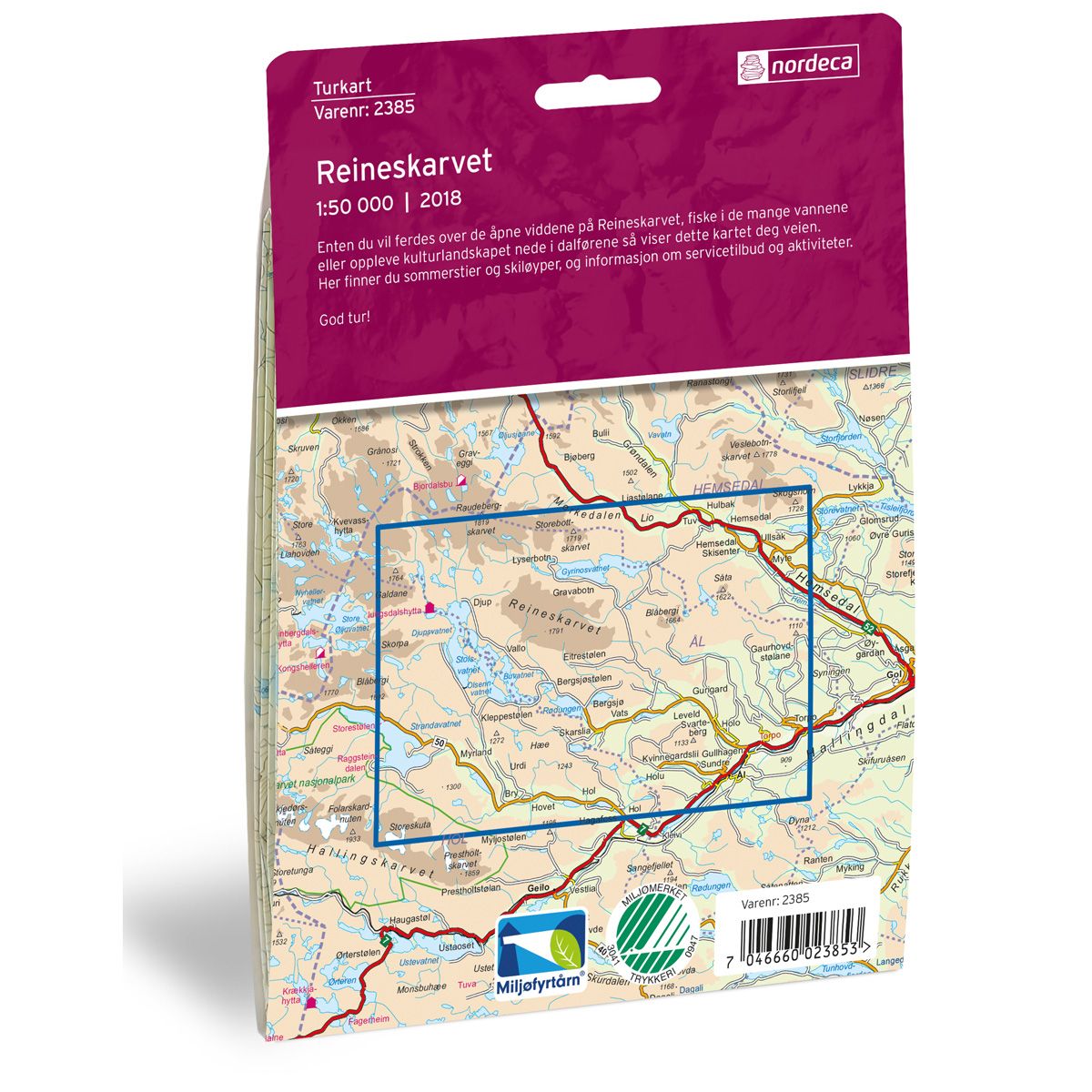


Reineskarvet DNT hiking map
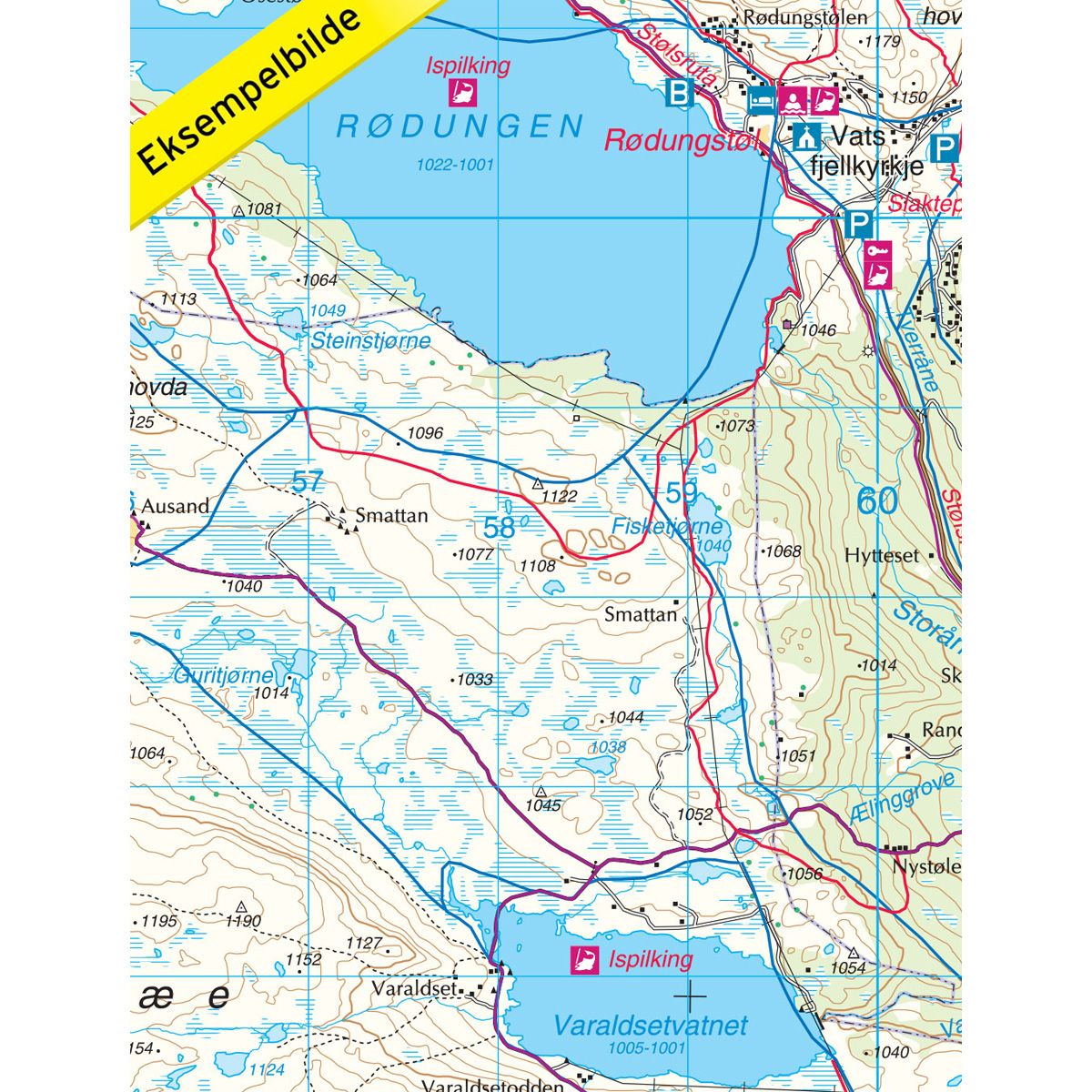
Map with Norwegian Trekking Association information about trails and cabins.
- The map covers Djupsvatnet, Hallingdal, Hemsedal, Hemsil, Hol og Ål
- Scale 1:50 000
€24.00
Out of stock
| Brand | Nordic Maps |
|---|---|
| SKU | 2385 |
| Map size | 70x100 cm |
| Scale | 1: 50 000 |
| Trails | Hiking trails |
| Updated | 2018 |
| Material | Paper |
| Map usage | Hiking, Cross Country |
| Accommodation | Serviced cabins, Unattended cabins, Self-catering cottages, hotels |
| EAN | 7046660023853 |
| Partner | The Norwegian Trekking Association |
| Map both sides | No |
| Country | Norway |
| Destinations | Djupsvatnet, Gyrinosvatnet, Hallingdal, Hemsedal, Hemsil, Hol, Reineskarvet, Skogshorn, Vats, Ål |
| Format | Foldable |
| Language | Norwegian, English |
| Series | Hiking maps |
Whether you wish to cross the open moorland of Reineskarvet, fish in one of the many lakes, or experience the cultural landscape of the valleys, this map will show you the way. Here you can find summer hiking trails and winter skiing trails, as well as information about services and activities.
DNT hiking maps
This map series was developed in cooperation with The Norwegian Trekking Association (DNT) and contains DNT trails, cabins and other useful trekking information. A few of the maps also have ski trails.
The DNT maps are published in three different scales (levels of detail).
1:25 000 for more defined and detailed information. Suitable for shorter treks.
1:50 000 is the optimal scale for treks.
1:100 000 offers a good overview of larger areas and is useful when planning trips.
The maps are printed on durable and weatherproof plastic fibre or paper material.
Language: Norwegian and English