Norway
  Deutsch
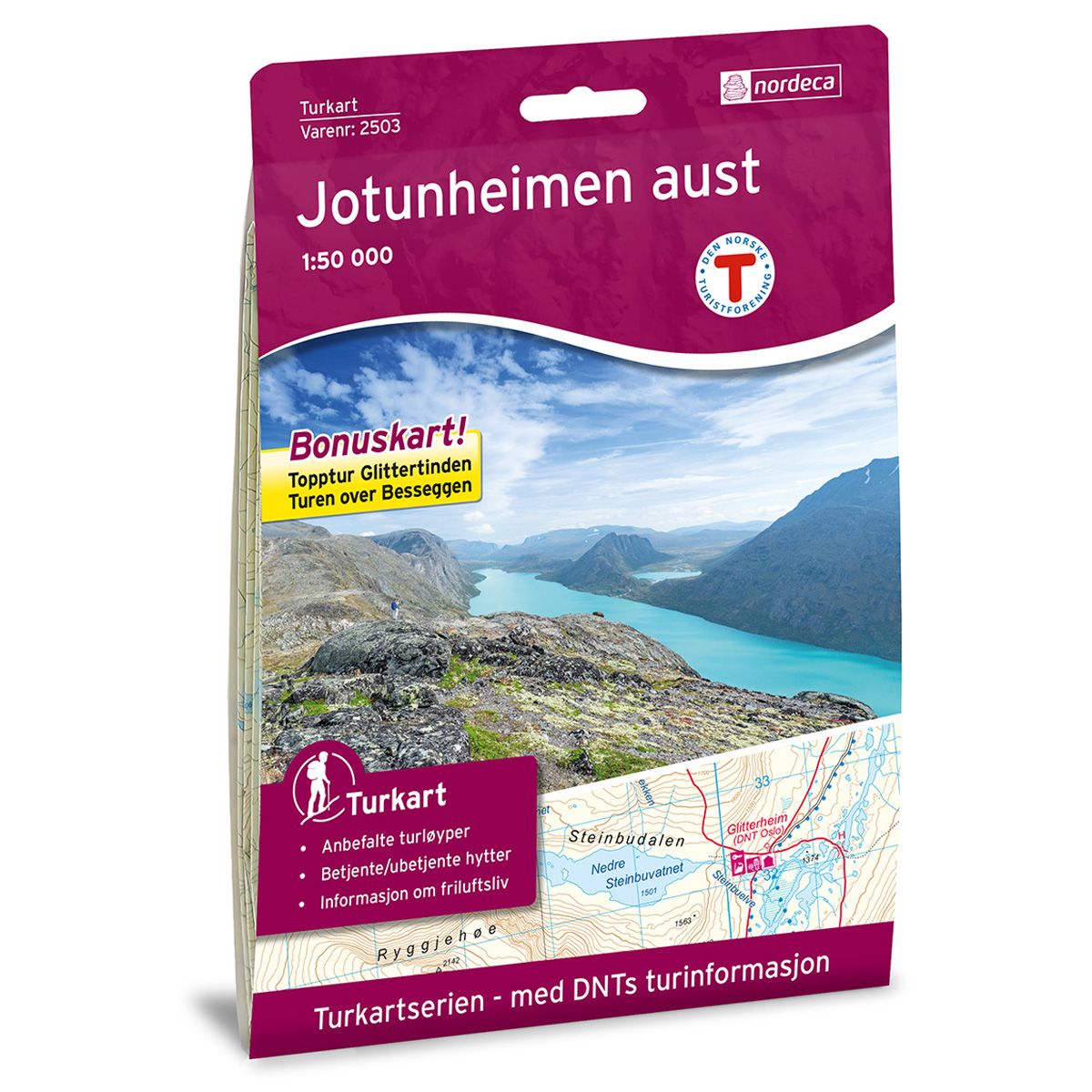


Jotunheimen Aust DNT hiking map
Map with Norwegian Trekking Association information about trails and cabins.
- The map covers Bygdin, Gjende, Glittertinden, Valdresflye og Vinstre
- Scale 1:50 000 in water resistant material
- Bonus map: Summit hike Glittertind and summit hike Besseggen
€24.00
In stock
| Brand | Nordic Maps |
|---|---|
| SKU | 2503 |
| Map size | 70x100 cm |
| Scale | 1: 50 000 |
| Trails | Hiking trails |
| Updated | 2018 |
| Material | Plastic fiber |
| Map usage | Hiking, Cross Country |
| Accommodation | Serviced cabins, Unattended cabins, Self-catering cottages, hotels |
| Attractions | Besseggen |
| Bonus map | Topptur Glittertind og topptur Besseggen |
| EAN | 7046660025031 |
| Cabins in the map | Yksendalsbu, Haugseter fjellstue, Bygdin fjellhotell, Torfinnsbu, Gjendehytta, Gjendebu, Maurvangen, Gjendesheim, Memurubu, Bessheim, Postfuru, Besstrond Sæter, Heimsand, Hindsæter, Hindvangen fjellcamp, Spiterstulen, Glitterheim, Juvasshytta, Grønbua, Saubua, Heranosbua, Raudbergstulen |
| Partner | The Norwegian Trekking Association |
| Map both sides | No |
| Country | Norway |
| Destinations | Bygdin, Bøverdalen, Gjende, Glittertinden, Jotunheimen, Jotunheimen nasjonalpark, Knutsholstinden, Nautgardstinden, Sjodalen, Valdresflye, Veodalen, Vinstre |
| Format | Foldable |
| Language | Norwegian, English |
| Series | Hiking maps |
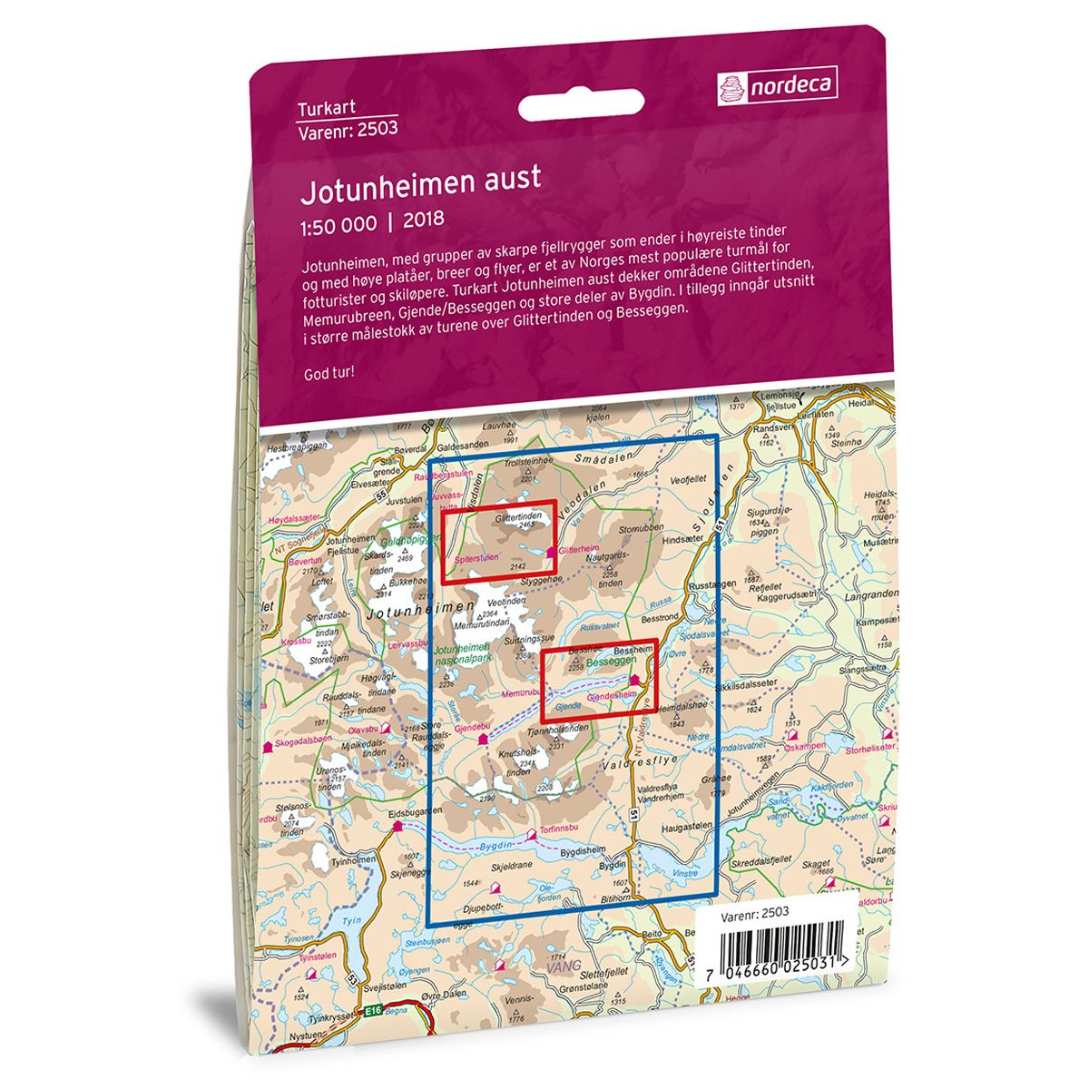
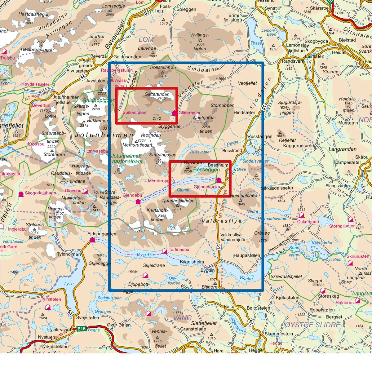
Jotunheimen, with its cluster of jagged mountain ridges, towering peaks, high plateaus, glaciers and plains is one of Norway’s most popular trekking destinations for hikers and skiers alike. The Jotunheimen East Trail Map covers the areas of Glittertinden, Memurubreen, Gjende/Besseggen and large parts of Bygdin. Included in the map are larger scale sections of the trails across Glittertinden and Besseggen.
DNT hiking maps
This map series was developed in cooperation with The Norwegian Trekking Association (DNT) and contains DNT trails, cabins and other useful trekking information. A few of the maps also have ski trails.
The DNT maps are published in three different scales (levels of detail).
1:25 000 for more defined and detailed information. Suitable for shorter treks.
1:50 000 is the optimal scale for treks.
1:100 000 offers a good overview of larger areas and is useful when planning trips.
The maps are printed on durable and weatherproof plastic fibre or paper material.
Language: Norwegian and English