Norway
  Deutsch
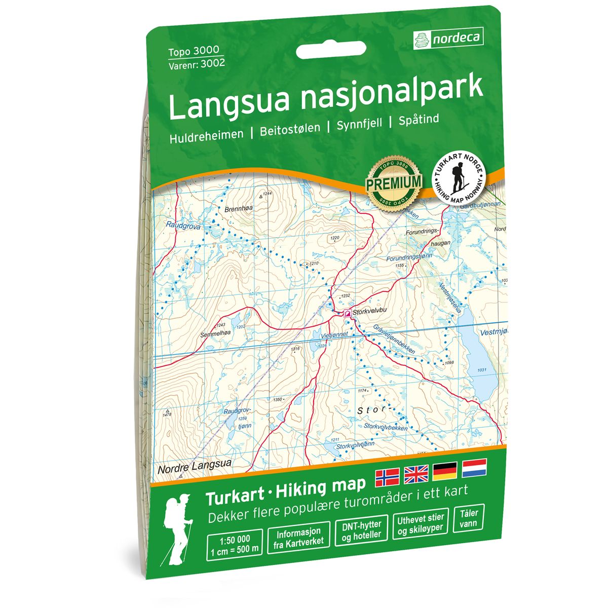


Langsua Nasjonalpark Topo 3000 hiking map
Covers popular trekking areas with highlighted trekking information
- The map covers Huldreheimen, Beitostølen, Synnfjell og Langsua nasjonalpark
- Scale 1:50 000 in water resistant material
€25.00
In stock
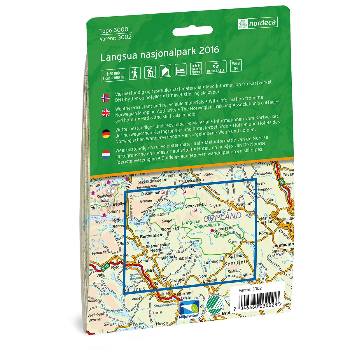
| Brand | Nordic Maps |
|---|---|
| SKU | 3002 |
| Map size | 70x100 cm |
| Scale | 1: 50 000 |
| Trails | Hiking trails |
| Updated | 2021 |
| Material | Plastic fiber |
| Map usage | Hiking, Cross Country |
| Accommodation | Serviced cabins, Unattended cabins, Self-catering cottages, hotels |
| EAN | 7046660030028 |
| Cabins in the map | Ølken, Yddin fjellstogo, Plankebue, Vesterheimsbua, Langsubua, Haldorbu, Storeskag, Bygdin, Skriurusten, Storhøliseter, Oskampen, Haugseter fjellstue, Valdresflya vandrehjem, Espedalen fjellhotell, Megrunnsbua, Strand Fjellstue, Skjelbreibua, Kittilbua, Nordbua, Storkvelvbu, Vestfjellhytta, Nonstjønnbua, Fjelldokkbue, Fossbekkbua, Skytterbua, Liomseter, Røverhula, Moslettbua, Skruvdalsbua, Reinsjøbua, Svarthamar, Spåtind |
| Map both sides | Yes |
| Country | Norway |
| Destinations | Huldreheimen, Beitostølen, Synnfjell, Langsua nasjonalpark |
| Format | Foldable |
| Language | Norwegian, English |
| Series | Topo 3000 |
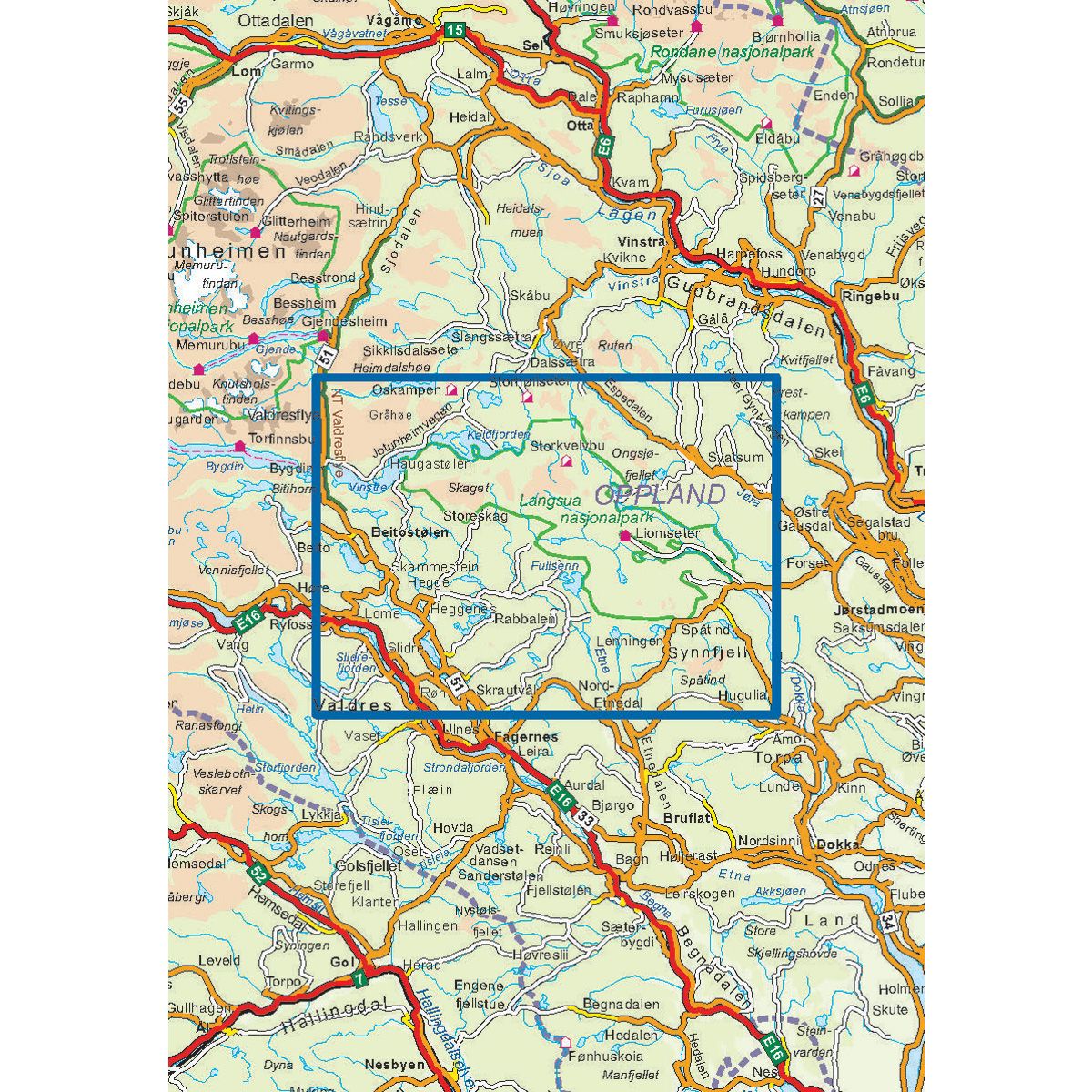
Topo 3000 is a detailed map that covers more than 3000 km2. Langsua National Park is located between Rondane and Jotunheimen. The park has many historic mountain farms and acres of pristine nature. The area is well-suited for outdoor activities such as fishing, hiking and skiing. In Langsua National Park, you can stroll through a low-lying and vast, but gentle landscape, with a child-friendly and easy terrain. The two mountains, Skaget and Nordre Langsua offer magnificent views. The Storkvolvbua self-service cabin is a good starting point for several excellent hikes and ski trips.
Topo 3000
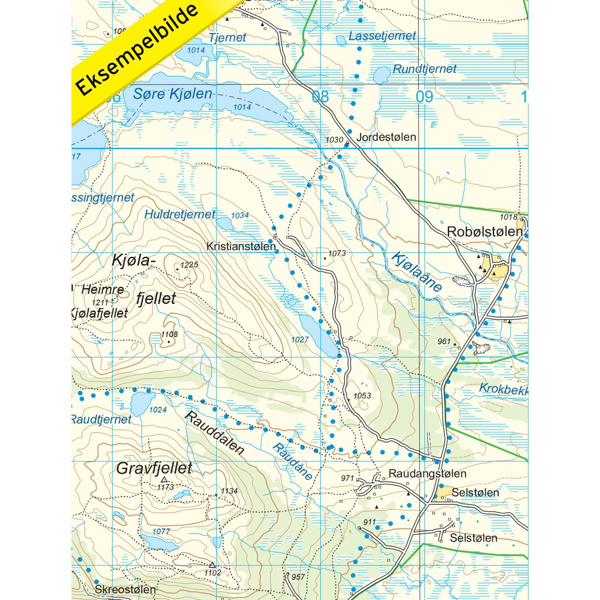
Topo 3000 is a detailed trail 1:50,000 scaled map with information from the Norwegian Mapping Authority. The map includes hiking trails, skiing trails and overnight accommodations. Trekking information is in bold type for better legibility. The trail map covers more than 3000 km2 and has been adapted to include several popular trekking areas.
The maps are printed on durable and weatherproof plastic fibre or paper material.
The series is continuously being updated to four different languages: Norwegian, English, German and Dutch.