Norway
  Deutsch
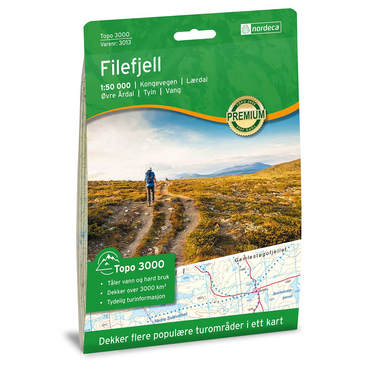
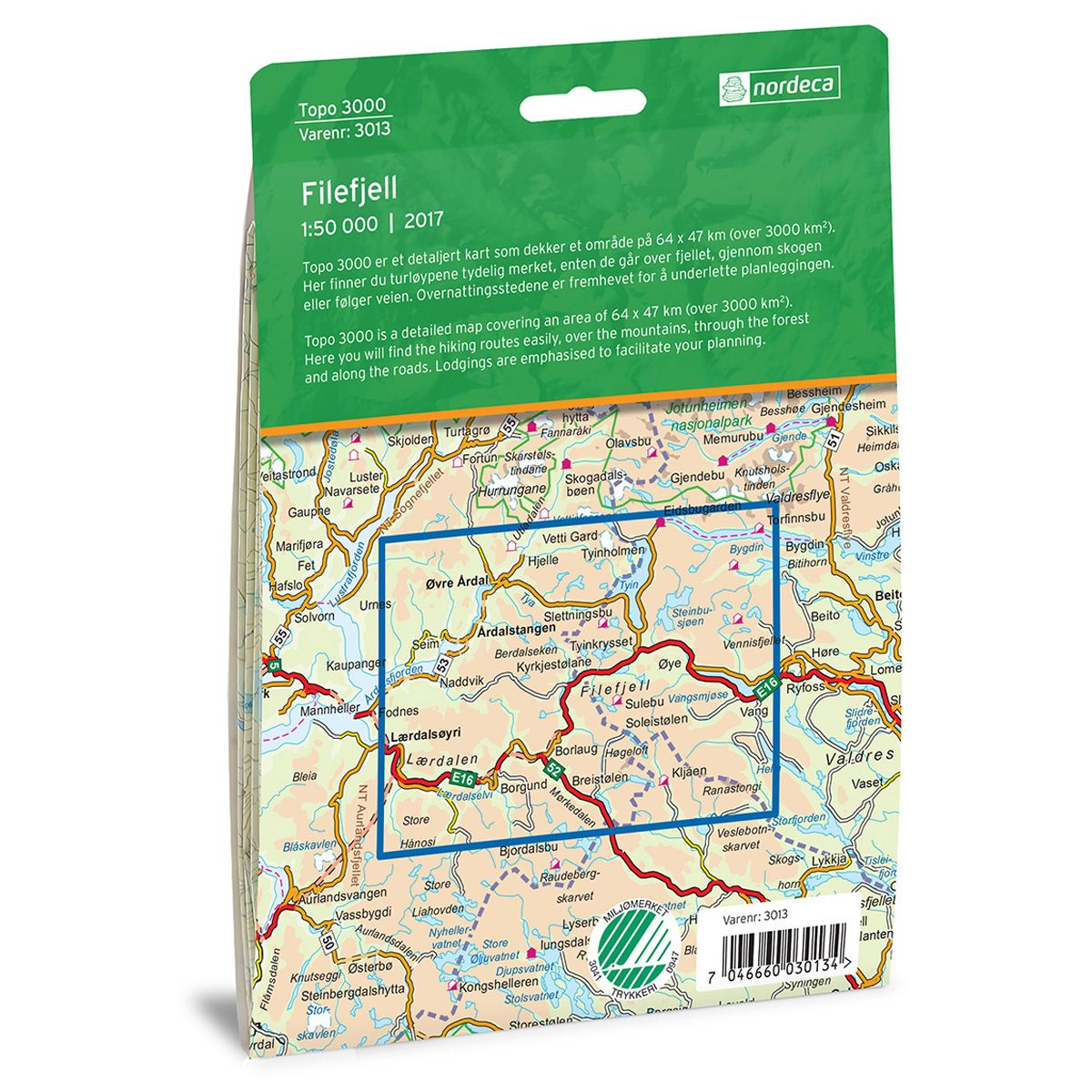
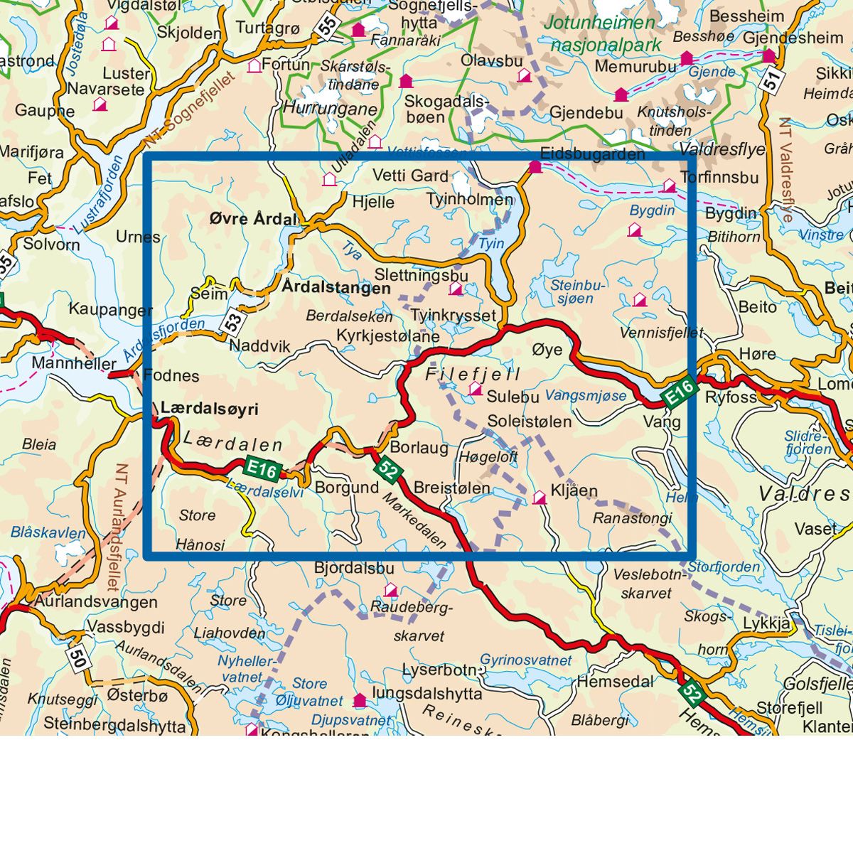

Filefjell Topo 3000 hiking map
Covers popular trekking areas with highlighted trekking information
- The map covers Kongevegen, Lærdal, Øvre Årdal, Tyin og Vang
- Scale 1:50 000 in water resistant material
€25.00
In stock
| Brand | Nordic Maps |
|---|---|
| SKU | 3013 |
| Map size | 70x100 cm |
| Scale | 1: 50 000 |
| Trails | Hiking trails |
| Updated | 2017 |
| Material | Plastic fiber |
| Map usage | Hiking, Cross Country |
| Accommodation | Serviced cabins, Unattended cabins, Self-catering cottages, hotels |
| EAN | 7046660030134 |
| Cabins in the map | Slettningsbu, Sulebu, Kljåen, Torfinnsbu, Maristova, Breistølen fjellstue, Skarvheim, Alvdalen gard, Gravdalen, Vetti Gard, Nystuen, Tyinstølen Turisthytte, Fondsbu, Yksendalsbu, Tomashelleren |
| Map both sides | Yes |
| Country | Norway |
| Destinations | Kongevegen, Lærdal, Øvre Årdal, Tyin, Vang |
| Format | Foldable |
| Language | Norwegian, English |
| Series | Topo 3000 |
Topo 3000 is a detailed map that covers more than 3000 km2. The Filefjell area can be used as a starting point for treks to Hallingdal, Valdres or Sognefjorden. There are also good opportunities for fishing and hunting on Filefjell. The Filefjell area has an alpine ski centre and many recreational activities and overnight accommodations.
Topo 3000
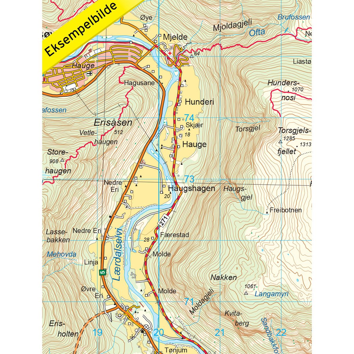
Topo 3000 is a detailed trail 1:50,000 scaled map with information from the Norwegian Mapping Authority. The map includes hiking trails, skiing trails and overnight accommodations. Trekking information is in bold type for better legibility. The trail map covers more than 3000 km2 and has been adapted to include several popular trekking areas.
The maps are printed on durable and weatherproof plastic fibre or paper material.
The series is continuously being updated to four different languages: Norwegian, English, German and Dutch.