
 Norway
  Deutsch
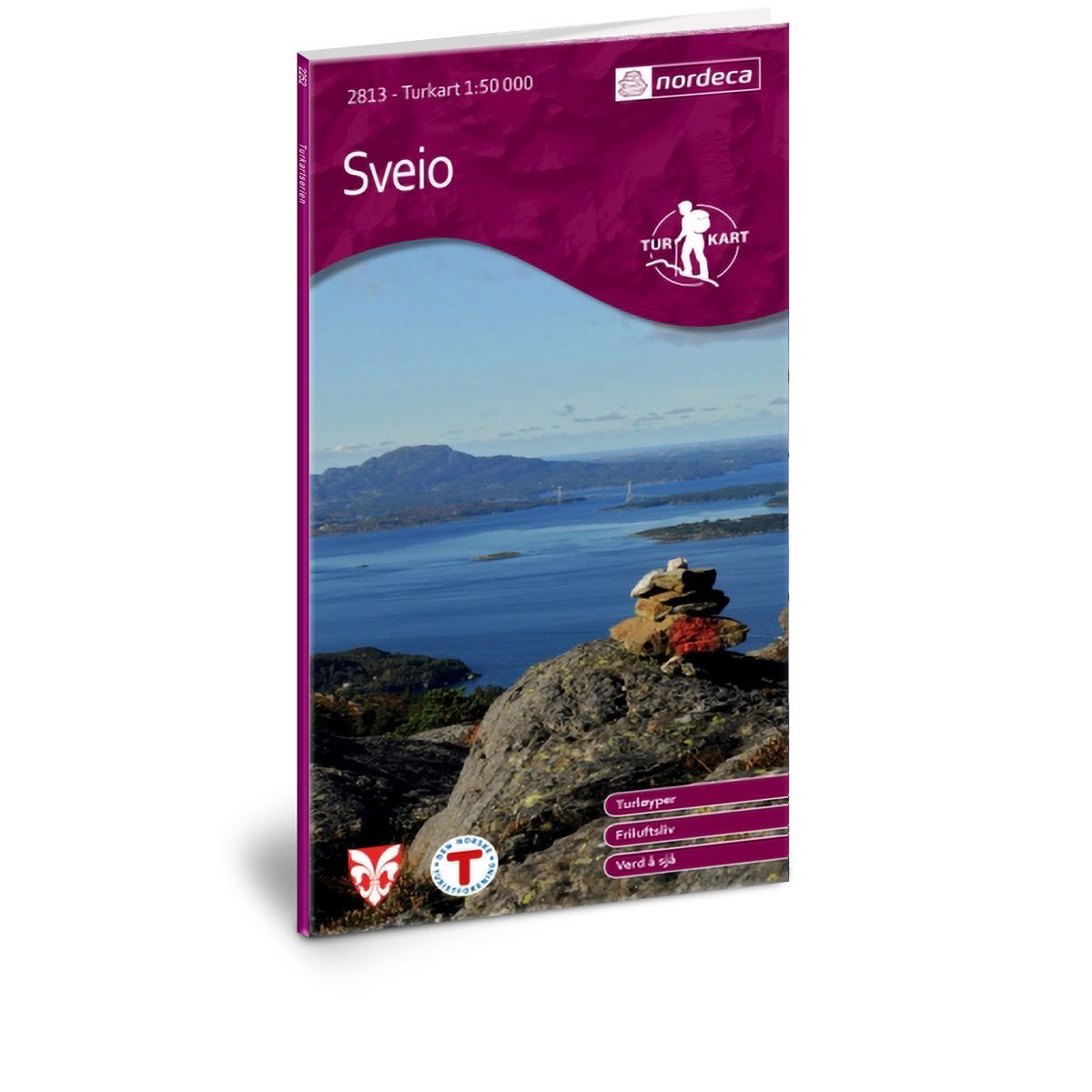
Sveio DNT hiking map
Map with Norwegian Trekking Association information about trails and cabins.
- Scale 1:50 000
€24.00
Out of stock
| Brand | Nordic Maps |
|---|---|
| SKU | 2813 |
| Map size | 70x100 cm |
| Scale | 1: 50 000 |
| Trails | Hiking trails |
| Updated | 2014 |
| Material | Paper |
| Map usage | Hiking |
| Accommodation | Serviced cabins, Unattended cabins, Self-catering cottages, hotels |
| EAN | 7046660028131 |
| Partner | The Norwegian Trekking Association |
| Map both sides | No |
| Country | Norway |
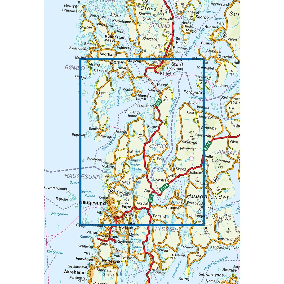
| Destinations | Aksdal, Bømlafjorden, Bømlo, Espevær, Førde, Førre, Haugesund, Leirvik, Mosterhamn, Skjold, Sunnhordland, Sveio, Utbjoa, Valevåg |
| Format | Foldable |
| Language | Norwegian, English |
| Series | Hiking maps |
In Sveio, you will find a number of easily accessible trails. Along the coast, the landscape is low and open, with a great view in all directions from the mountaintops. The map you hold in your hands contains information about 45 marked and unmarked trails in Sveio municipality. The most important trails in the neighbouring municipalities are also included. This offers suggestions for easy walking trips in the local areas or more challenging hikes to peaks, or something in between.
DNT hiking maps
This map series was developed in cooperation with The Norwegian Trekking Association (DNT) and contains DNT trails, cabins and other useful trekking information. A few of the maps also have ski trails.
The DNT maps are published in three different scales (levels of detail).
1:25 000 for more defined and detailed information. Suitable for shorter treks.
1:50 000 is the optimal scale for treks.
1:100 000 offers a good overview of larger areas and is useful when planning trips.
The maps are printed on durable and weatherproof plastic fibre or paper material.
Language: Norwegian and English