Norway
  Deutsch
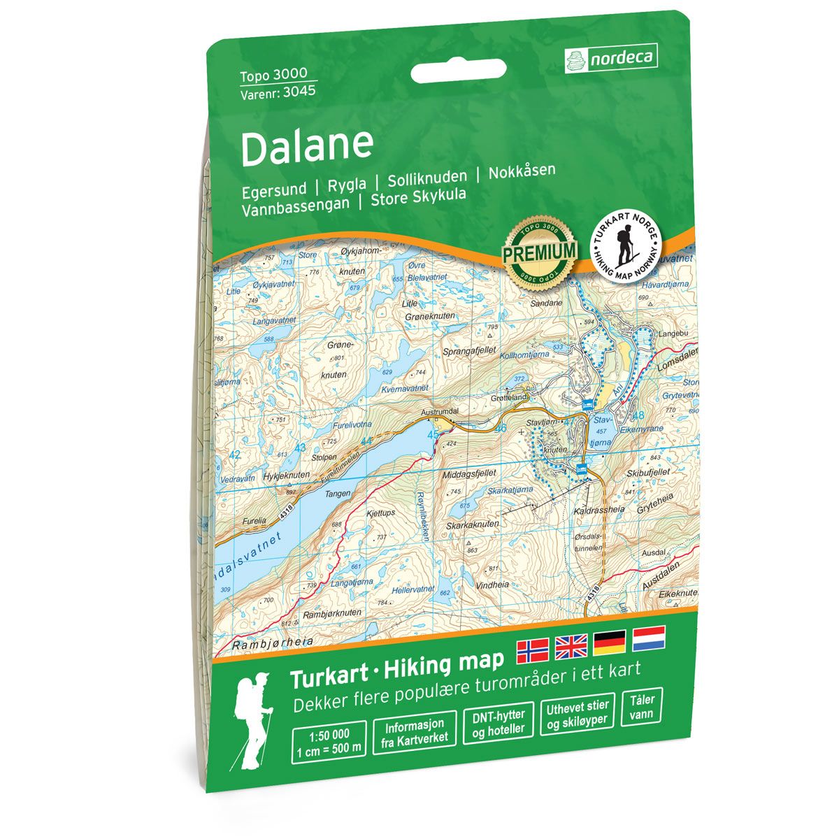
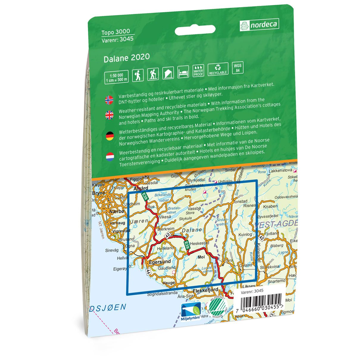
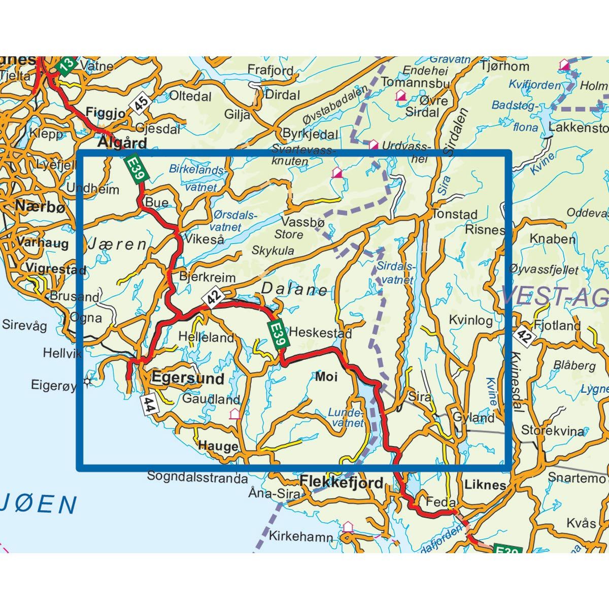
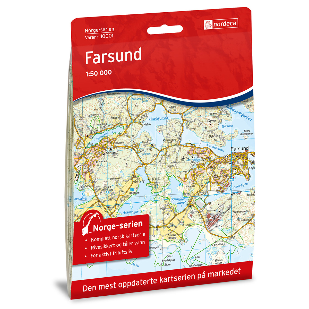

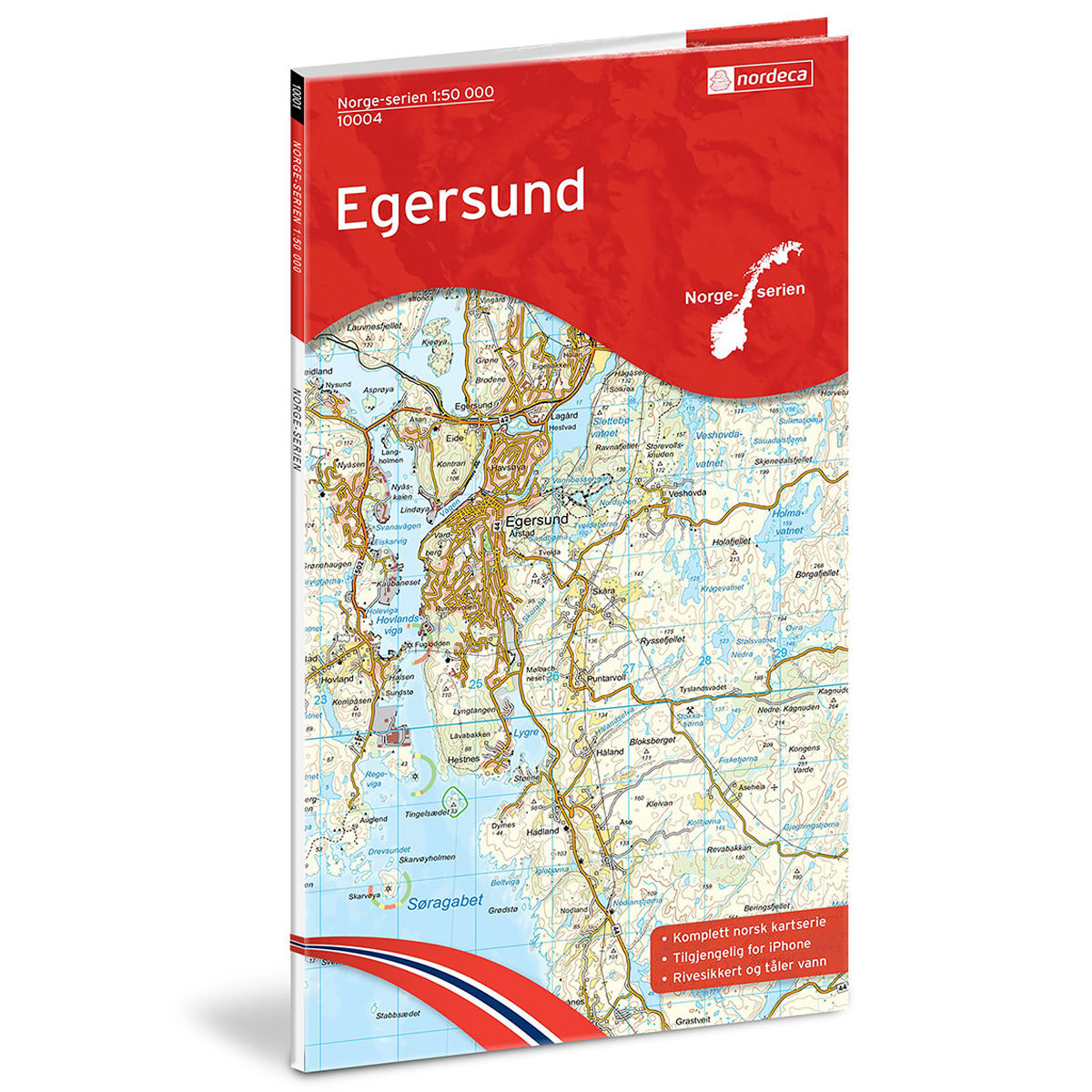
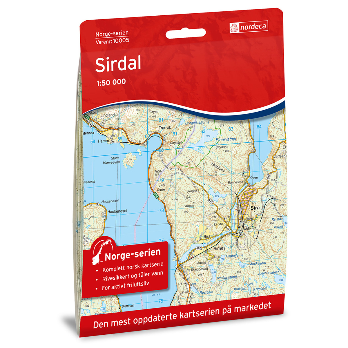
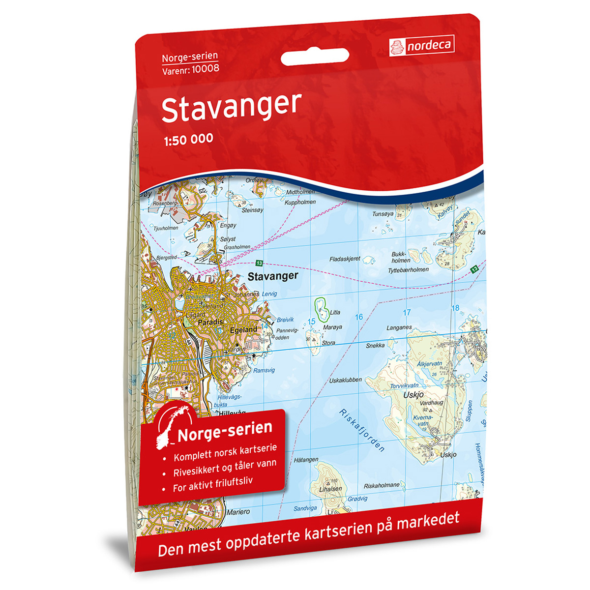
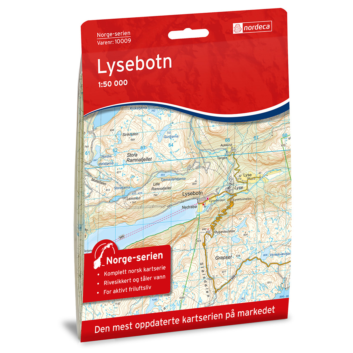
Dalane Topo 3000 Hiking map
Covers popular trekking areas with highlighted trekking information
- Scale 1:50 000 in water resistant material
€25.00
In stock
| Brand | Nordic Maps |
|---|---|
| SKU | 3045 |
| Map size | 70x100 cm |
| Scale | 1: 50 000 |
| Trails | Hiking trails |
| Updated | 2020 |
| Material | Plastic fiber |
| Map usage | Hiking, Cross Country |
| Accommodation | Serviced cabins, Unattended cabins, Self-catering cottages, hotels |
| Cabins in the map | Gaudland, Kvitlen |
| Map both sides | Yes |
| Country | Norway |
| Destinations | Egersund, Rygla, Solliknuden, Nokkåsen, Vannbassengan, Store Skykula |
| Format | Foldable |
| Language | Norwegian, English, German, Dutch |
| Series | Topo 3000 |
Topo 3000 is a detailed map covering 3000 km2. The area has a varied landscape with high mountains, deep valleys, lakes and coastline. The hiking opportunities are many and very varied. There are several / many adapted hiking areas with marked trails and old roads. Some exciting destinations are Eigerøy lighthouse, Auglend, Hetlandskogen or Mjåvassknuten. Here you will find tours such as: The Trollpikken 2.4 km, Rogleheia around 12.3 km, Mysingheia 4 km. Example of cabins: Gaudland (unattended).
Topo 3000
Topo 3000 is a detailed trail 1:50,000 scaled map with information from the Norwegian Mapping Authority. The map includes hiking trails, skiing trails and overnight accommodations. Trekking information is in bold type for better legibility. The trail map covers more than 3000 km2 and has been adapted to include several popular trekking areas.
The maps are printed on durable and weatherproof plastic fibre or paper material.
The series is continuously being updated to four different languages: Norwegian, English, German and Dutch.