Norway
  Deutsch
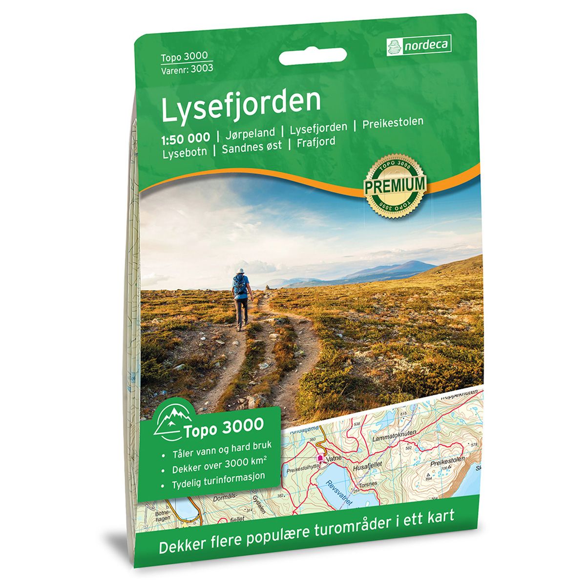

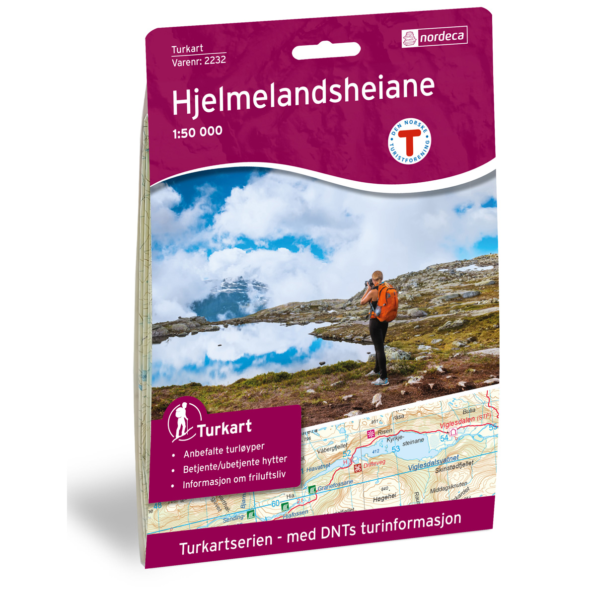

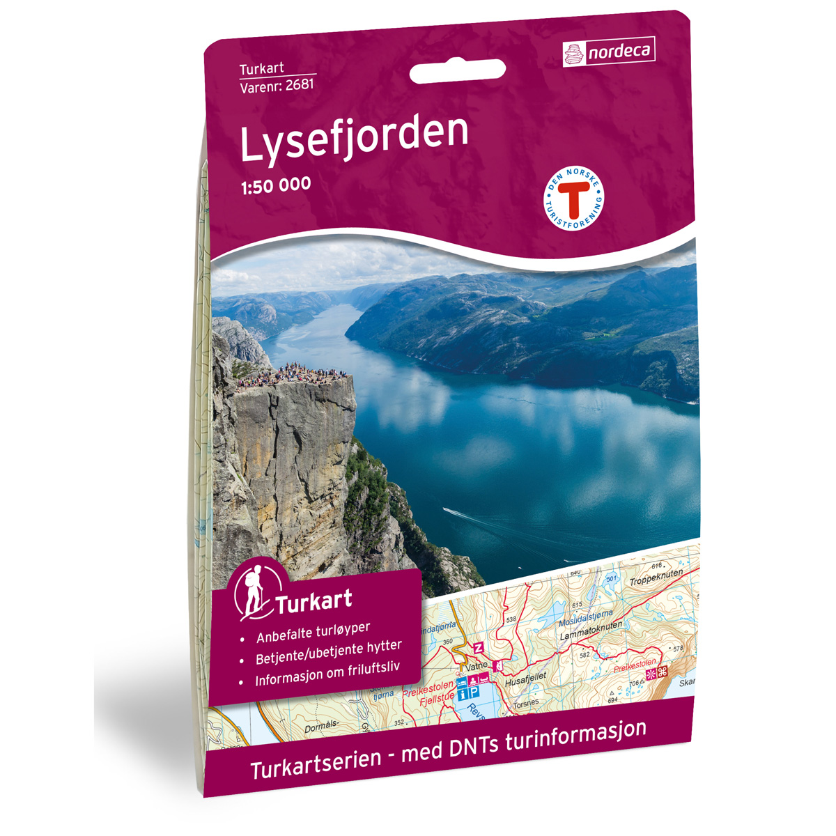
Lysefjorden Topo 3000 hiking map
Covers popular trekking areas with highlighted trekking information
- The map covers Jørpeland, Preikestolen, Lysebotn, Sandnes øst og Frafjord
- Scale 1:50 000 in water resistant material
€25.00
In stock
| Brand | Nordic Maps |
|---|---|
| SKU | 3003 |
| Map size | 70x100 cm |
| Scale | 1: 50 000 |
| Trails | Hiking trails |
| Updated | 2016 |
| Material | Plastic fiber |
| Map usage | Hiking, Cross Country |
| Accommodation | Serviced cabins, Unattended cabins, Self-catering cottages, hotels |
| Attractions | Preikestolen, Lysefjorden |
| EAN | 7046660030035 |
| Cabins in the map | Preikestolhytta, Nodhagen, Gramstad, Skåpet, Flørli, Langavatn, Blåfjellenden, Støle, Songedalen fjellgard, Lysefjorden, Bakken, Flørlistølen, Børsteinen, Sandvatn, Tomannsbu |
| Map both sides | Yes |
| Country | Norway |
| Destinations | Jørpeland, Lysefjorden, Preikestolen, Lysebotn, Sandnes øst, Frafjord |
| Format | Foldable |
| Language | Norwegian, English |
| Series | Topo 3000 |
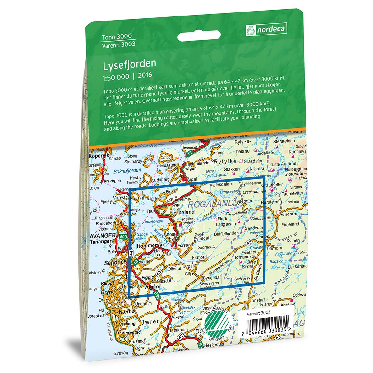
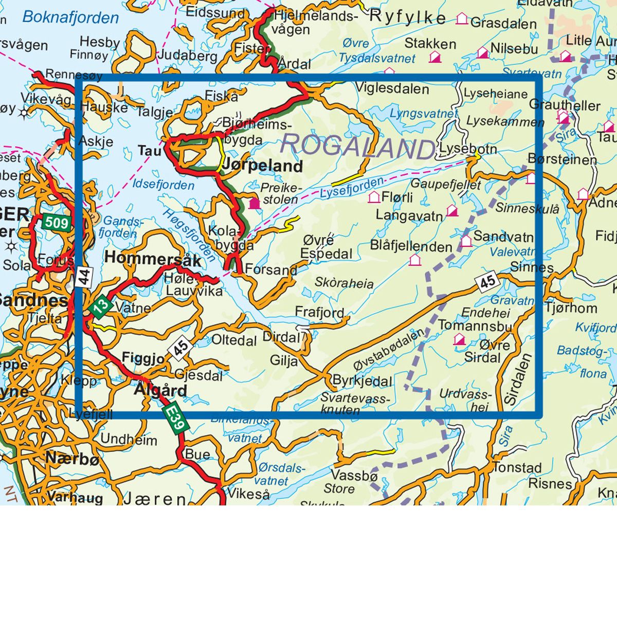
Topo 3000 is a detailed map that covers more than 3000 km2. Lysefjorden is the southernmost of the major fjords in Norway, and is a popular and widely known attraction. The fjord extends nearly 40 km. Along the steep mountainsides are many famous sites, including Preikestolen, Lysebotn and Kjerag.
Topo 3000
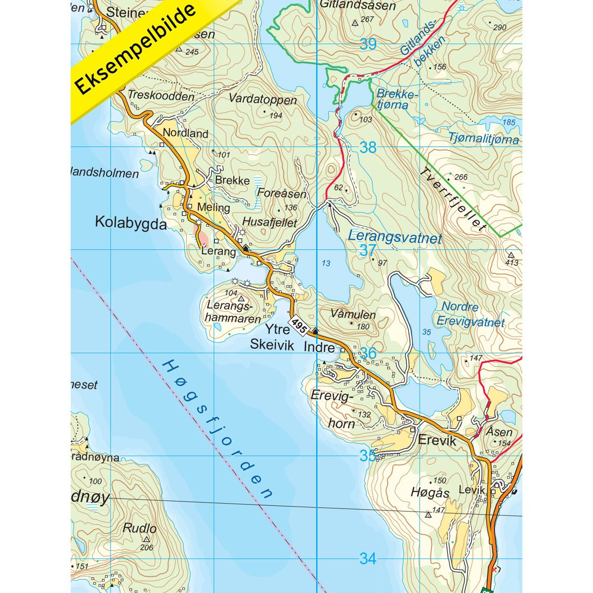
Topo 3000 is a detailed trail 1:50,000 scaled map with information from the Norwegian Mapping Authority. The map includes hiking trails, skiing trails and overnight accommodations. Trekking information is in bold type for better legibility. The trail map covers more than 3000 km2 and has been adapted to include several popular trekking areas.
The maps are printed on durable and weatherproof plastic fibre or paper material.
The series is continuously being updated to four different languages: Norwegian, English, German and Dutch.