
 Norway
  Deutsch
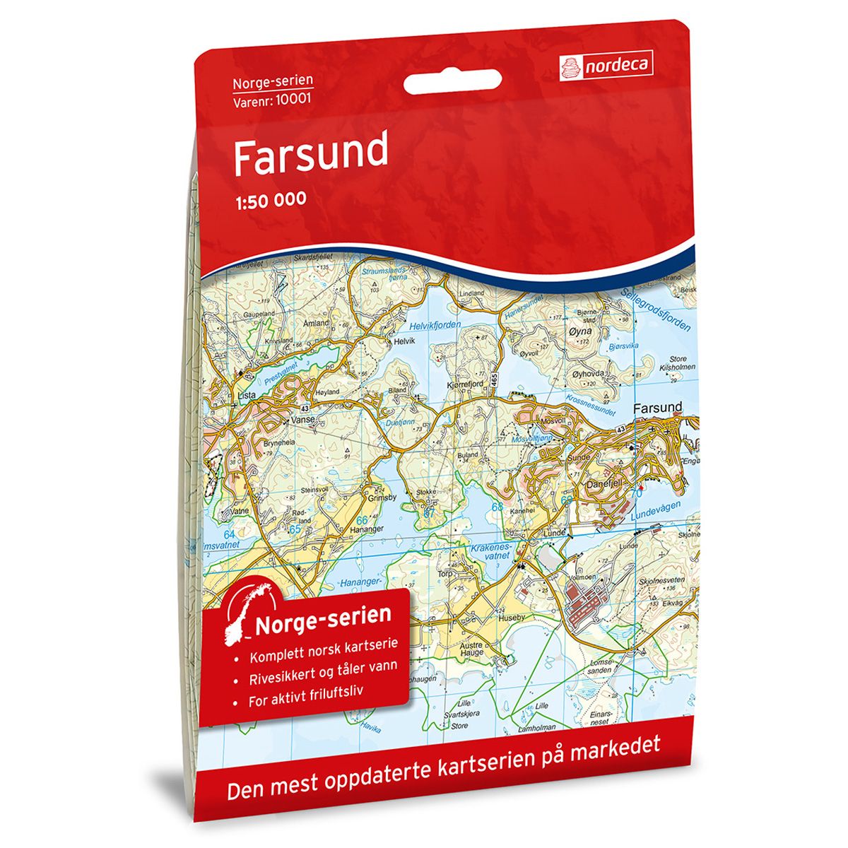
Farsund Norway series hiking map
Countrywide series with overlapping maps for simple navigation.
- Scale 1:50 000 in water resistant material
€24.00
In stock
| Brand | Nordic Maps |
|---|---|
| SKU | 10001 |
| Map size | 70x100 cm |
| Scale | 1: 50 000 |
| Updated | 2016 |
| Material | Plastic fiber |
| Map usage | Hiking |
| EAN | 7071940100016 |
| Map both sides | Yes |
| Country | Norway |
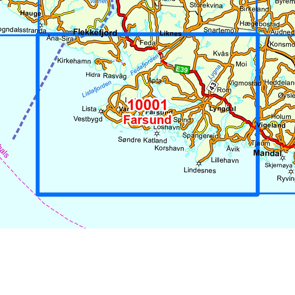
| Destinations | Farsund, Feda, Hidra, Liknes, Lindesnes, Lista, Lygna, Lyngdal, Spangereid, Vanse, Vestbygd, Vigeland, Åna-Sira |
| Format | Foldable |
| Language | Norwegian, English |
| Series | Norway series |
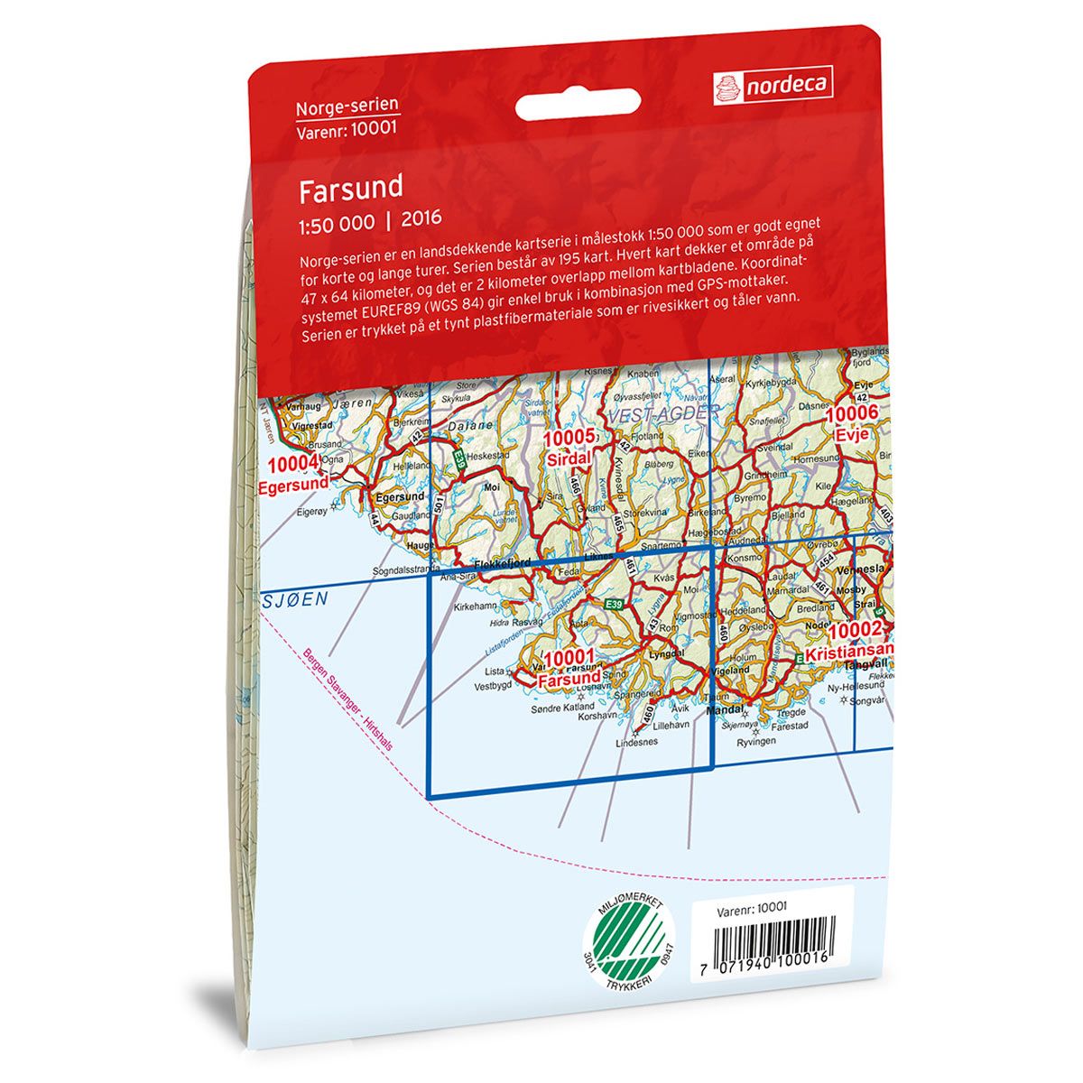
The Norway maps series Farsund at a 1:50 000 scale is printed on durable, recyclable and waterproof plastic fibre material. The map is suitable for use when hiking, fishing and hunting, and is also used by rescue teams. The Norway map series covers the entire country and is therefore also popular for use on longer treks. The maps overlap, which makes it easy to navigate between the maps.
Norway series
The Norway series is a 1:50,000 map series with information from the Norwegian Mapping Authority. The series covers the entire country and is perfect for longer treks. Each map overlaps the map of the neighbouring region, making it easy to navigate the country. The series incorporates the coordinate system EUREF89 (WGS 84) which is easy to use in combination with a GPS navigation device.
The maps are printed on durable and weatherproof plastic fibre or paper material.
The series is continuously being updated to four different languages: Norwegian, English, German and Dutch.