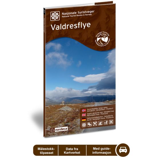
Valdresflye National Scenic Routes
Road map for Norway’s most beautiful routes.
- The map covers Gjende, Bessvatnet, Beitostølen, Bygdin og Valdresflye
€24.00
In stock
| Brand | Nordic Maps |
|---|---|
| SKU | 20006 |
| Map size | 70x100 cm |
| Scale | 1: 50 000 |
| Updated | 2014 |
| Material | Paper |
| Map usage | In the car, Sightseeing and activities |
| Accommodation | campsites, hotels |
| EAN | 7046660200063 |
| Partner | State Highways Authority |
| Map both sides | No |
| Country | Norway |
| Destinations | Gjende, Bessvatnet, Beitostølen, Beito, Bygdin, Valdresflye |
| Format | Foldable |
| Language | Norwegian, English, German |
| Series | National Scenic Routes |
The road across Valdresflye offers a broad view of the mountains and moors, and nearly soars in over Jotunheimen, marking the start of an endless journey. In the north is Jotunheimen National Park, where the mountains are steeper and wilder than the mountains of the south with its more gentle landscape. The cultural landscape here includes mountain farms and many of the most traditional tourist attractions of the Norwegian mountains. Large sections of the route cross the tree line, where the highest point is 1389 masl. You can find good hiking trails almost anywhere along the route. In the area around Gjende, there is a large network of marked trails for hikes of various lengths. Besseggen is perhaps the most well-known mountain hiking trail. The Valdresflye National Tourist Route between Garli and Hindsæter (County Road 51), with its short detour to Gjende, is 49 km long. The road across the mountain is closed in winter.
National Scenic Routes
This map series will enable some wonderful experiences along the selected routes.
The maps indicate spectacular views, nature experiences, attractions, architecture, dining spots, overnight accommodations and places of interest. These are described in the map with text and photos.
The maps have been designed in cooperation with the Norwegian Public Roads Administration.
The products are available in
three languages - Norwegian, English and German.

 Norway
  Deutsch


