Norway
  Deutsch
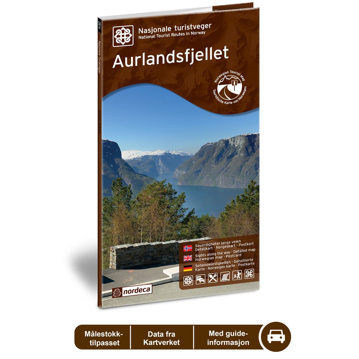
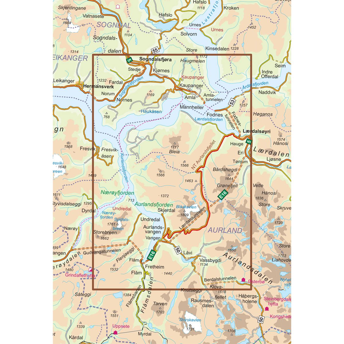


Aurlandsfjellet National Scenic Routes
Road map for Norway’s most beautiful routes.
- The map covers Kaupanger, Lærdalsøyri, Aurlandsfjorden og Aurlandsvangen
€24.00
In stock
| Brand | Nordic Maps |
|---|---|
| SKU | 20005 |
| Map size | 70x100 cm |
| Scale | 1: 50 000 |
| Updated | 2014 |
| Material | Paper |
| Map usage | In the car, Sightseeing and activities |
| Accommodation | campsites, hotels |
| EAN | 7046660200056 |
| Partner | State Highways Authority |
| Map both sides | No |
| Country | Norway |
| Destinations | Kaupanger, Fresvik, Frønningen, Fardal, Sogndalsfjøra, Lærdalsøyri, Aurlandsfjorden, Flåm, Vassbygdi, Aurlandsvangen |
| Format | Foldable |
| Language | Norwegian, English, German |
| Series | National Scenic Routes |
The drive takes you from fjord to fjord across the mountains where there is snow during a large part of the summer. The Stegastein viewpoint platform is a natural rest stop and offers a staggering view of the fjord landscape. Nærøyfjorden with its cultural heritage status should not be missed. The Flåmsbanen railway and Aurlandsdalen are also popular attractions near the route, and are worth a stop. You are guaranteed a round trip of contrasts if you combine Aurlandsfjellet with the 24.5 km Lærdal tunnel, which is the world’s longest road tunnel. The Aurlandsfjellet National Tourist Route between Aurlandsvangen and Lærdalsøyri is 47 km long (County Road 243). Aurlandsfjellet is closed in winter. The road from Aurlandsvangen to the Stegastein viewpoint is open all year round.
National Scenic Routes
This map series will enable some wonderful experiences along the selected routes.
The maps indicate spectacular views, nature experiences, attractions, architecture, dining spots, overnight accommodations and places of interest. These are described in the map with text and photos.
The maps have been designed in cooperation with the Norwegian Public Roads Administration.
The products are available in
three languages - Norwegian, English and German.