Norway
  Deutsch
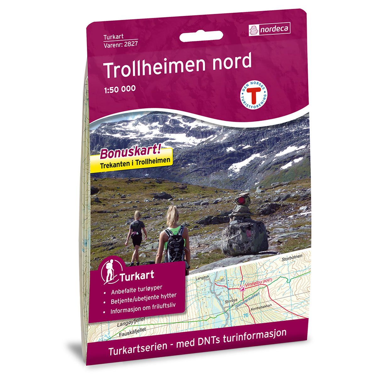
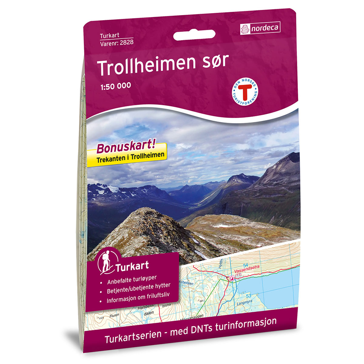

Trollheimen Nord DNT hiking map
Map with Norwegian Trekking Association information about trails and cabins.
- The map covers Surnadalen, Romundstad, Husby, Snota og Foldsjøen
- Scale 1:50 000 in water resistant material
- Bonus map: Trekanten in Trollheimen
€24.00
In stock
| Brand | Nordic Maps |
|---|---|
| SKU | 2827 |
| Map size | 70x100 cm |
| Scale | 1: 50 000 |
| Trails | Hiking trails |
| Updated | 2016 |
| Material | Plastic fiber |
| Map usage | Hiking, Cross Country |
| Accommodation | Serviced cabins, Unattended cabins, Self-catering cottages, hotels |
| Bonus map | Trekanten i Trollheimen |
| EAN | 7046660028278 |
| Partner | The Norwegian Trekking Association |
| Map both sides | No |
| Country | Norway |
| Destinations | Surnadalen, Romundstad, Husby, Snota, Foldsjøen, Ranes, Jøngfjellet, Rindhatten |
| Format | Foldable |
| Language | Norwegian, English |
| Series | Hiking maps |
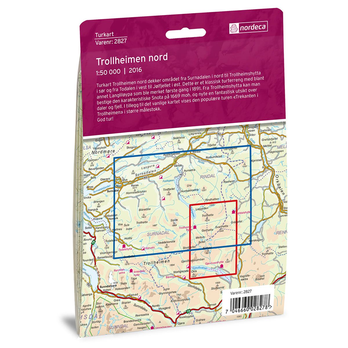
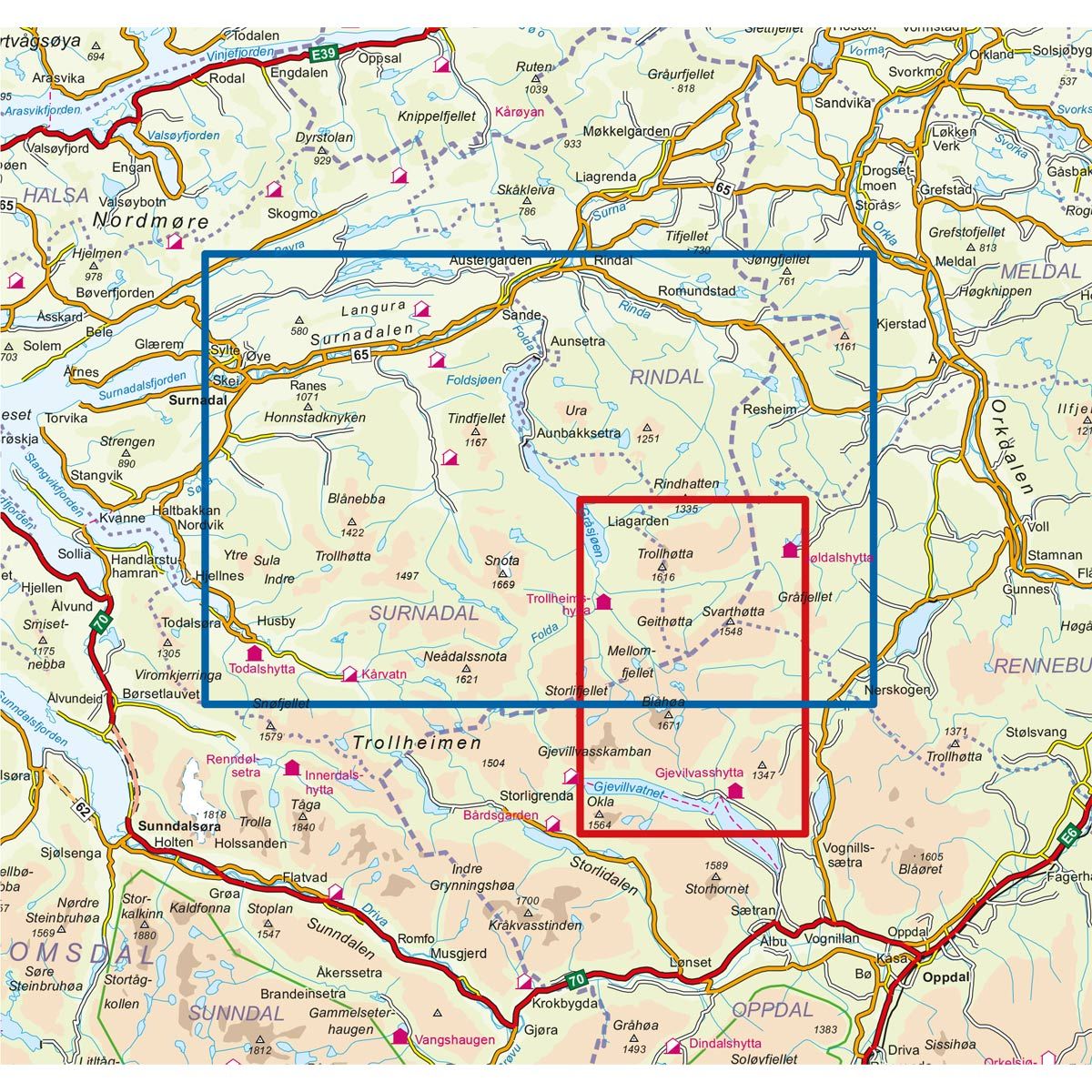
The Trollheimen North Trail Map covers the area from Surnadalen in the north to Trollheimshytta in the south, and from Todalen in the west to Jølfjellet in the east. This is classic trekking terrain, including the Langliløypa trail, which was first marked in 1891. From Trollheimshytta, it is possible to hike up to Snota, 1669 masl, and enjoy an amazing view of the valleys and mountains. The map includes the popular trek “Trekanten i Trollheimen” (the Trollehimen Triangle), at a larger scale.
DNT hiking maps
This map series was developed in cooperation with The Norwegian Trekking Association (DNT) and contains DNT trails, cabins and other useful trekking information. A few of the maps also have ski trails.
The DNT maps are published in three different scales (levels of detail).
1:25 000 for more defined and detailed information. Suitable for shorter treks.
1:50 000 is the optimal scale for treks.
1:100 000 offers a good overview of larger areas and is useful when planning trips.
The maps are printed on durable and weatherproof plastic fibre or paper material.
Language: Norwegian and English