Norway
  Deutsch
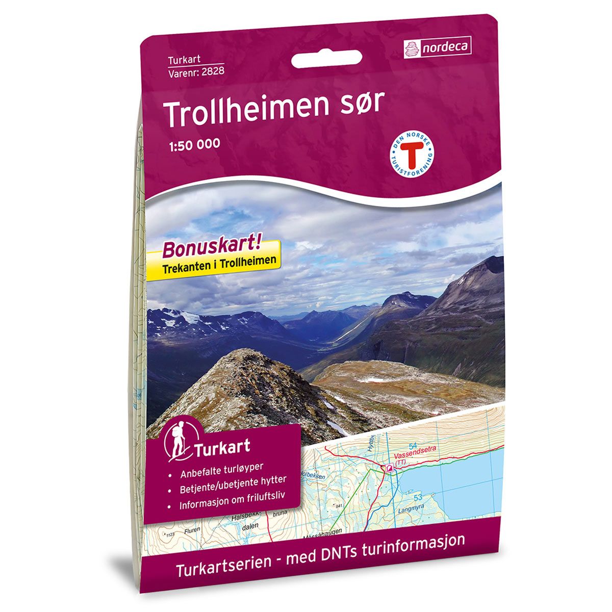
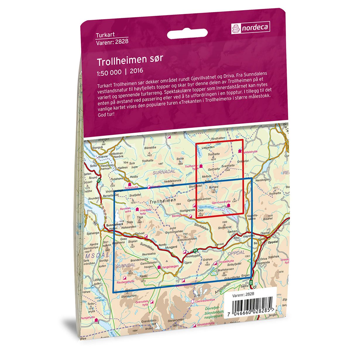

Trollheimen Sør DNT hiking map
Map with Norwegian Trekking Association information about trails and cabins.
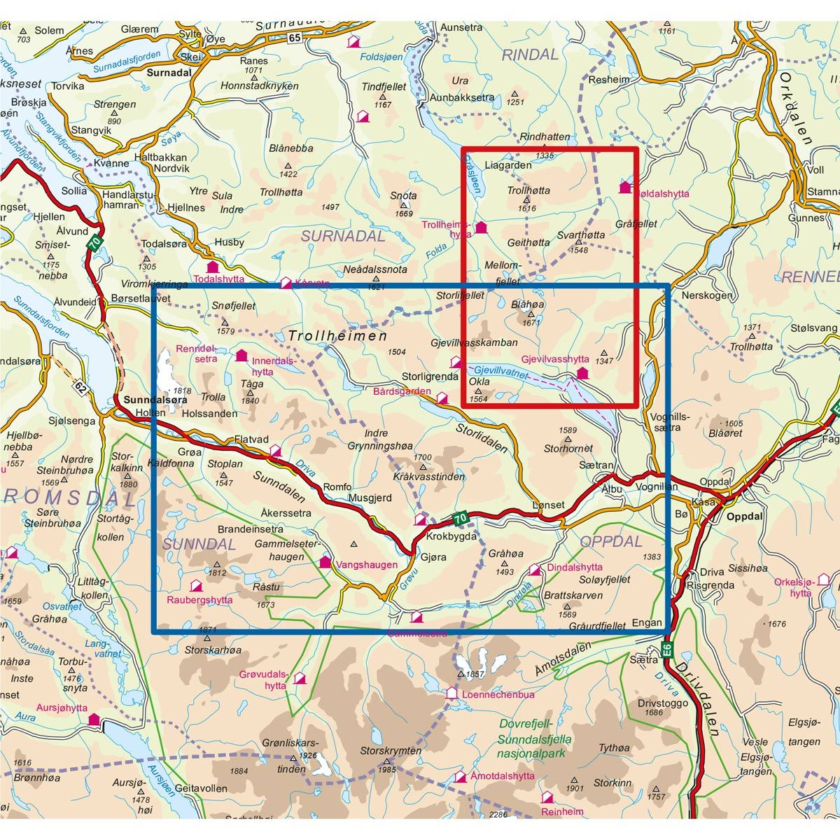
- The map covers Gjevillvatnet, Driva, Trollhøtta, Lønset, Olbu og Sunnfjellet
- Scale 1:50 000 in water resistant material
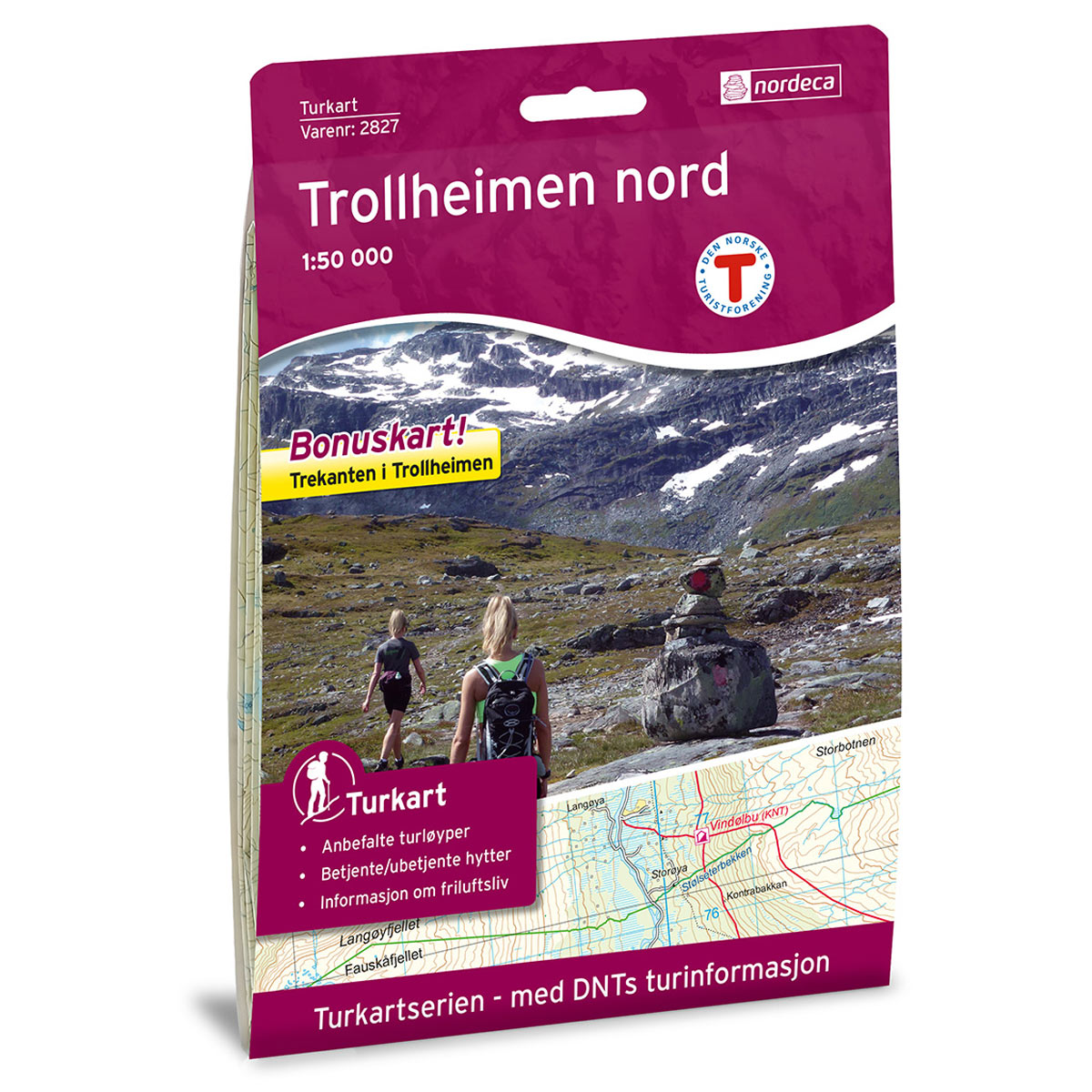
- Bonus map: Trekanten in Trollheimen
€24.00
In stock
| Brand | Nordic Maps |
|---|---|
| SKU | 2828 |
| Map size | 70x100 cm |
| Scale | 1: 50 000 |
| Trails | Hiking trails |
| Updated | 2016 |
| Material | Plastic fiber |
| Map usage | Hiking, Cross Country |
| Accommodation | Serviced cabins, Unattended cabins, Self-catering cottages, hotels |
| Bonus map | Trekanten i Trollheimen |
| EAN | 7046660028285 |
| Partner | The Norwegian Trekking Association |
| Map both sides | No |
| Country | Norway |
| Destinations | Gjevillvatnet, Driva, Trollhøtta, Åmotan - Grøvudalen, Lønset, Olbu, Sunnfjellet |
| Format | Foldable |
| Language | Norwegian, English |
| Series | Hiking maps |
The Trollheimen South Trail Map covers the area around Gjevillvatnet and Driva. From the west country nature of Sunndalen to the mountaintops and cols, this part of Trollheimen offers a varied and fascinating trekking terrain. Spectacular peaks, such as Innerdalstårnet, can be enjoyed either at a distance while passing, or by making a challenging climb. The map includes the popular trek “Trekanten i Trollheimen” (the Trollehimen Triangle), at a larger scale.
DNT hiking maps
This map series was developed in cooperation with The Norwegian Trekking Association (DNT) and contains DNT trails, cabins and other useful trekking information. A few of the maps also have ski trails.
The DNT maps are published in three different scales (levels of detail).
1:25 000 for more defined and detailed information. Suitable for shorter treks.
1:50 000 is the optimal scale for treks.
1:100 000 offers a good overview of larger areas and is useful when planning trips.
The maps are printed on durable and weatherproof plastic fibre or paper material.
Language: Norwegian and English