Norway
  Deutsch
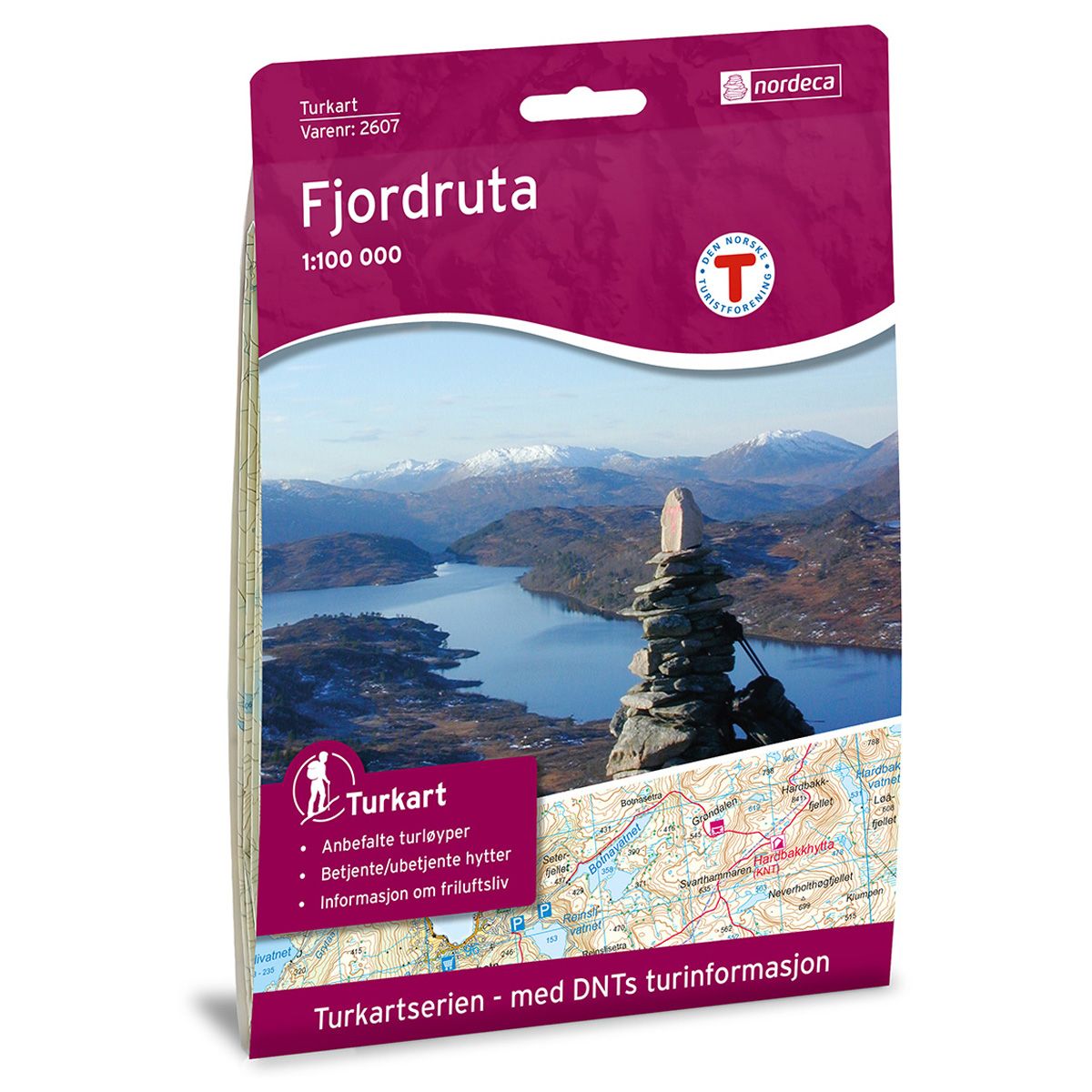
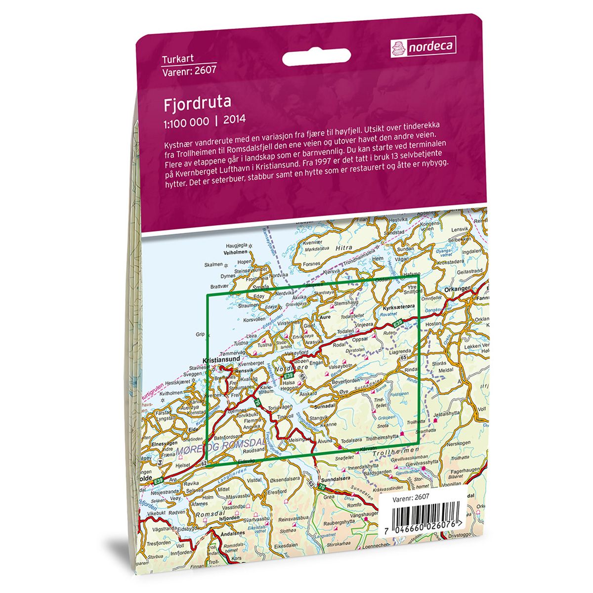

Fjordruta DNT hiking map
Map with Norwegian Trekking Association information about trails and cabins.
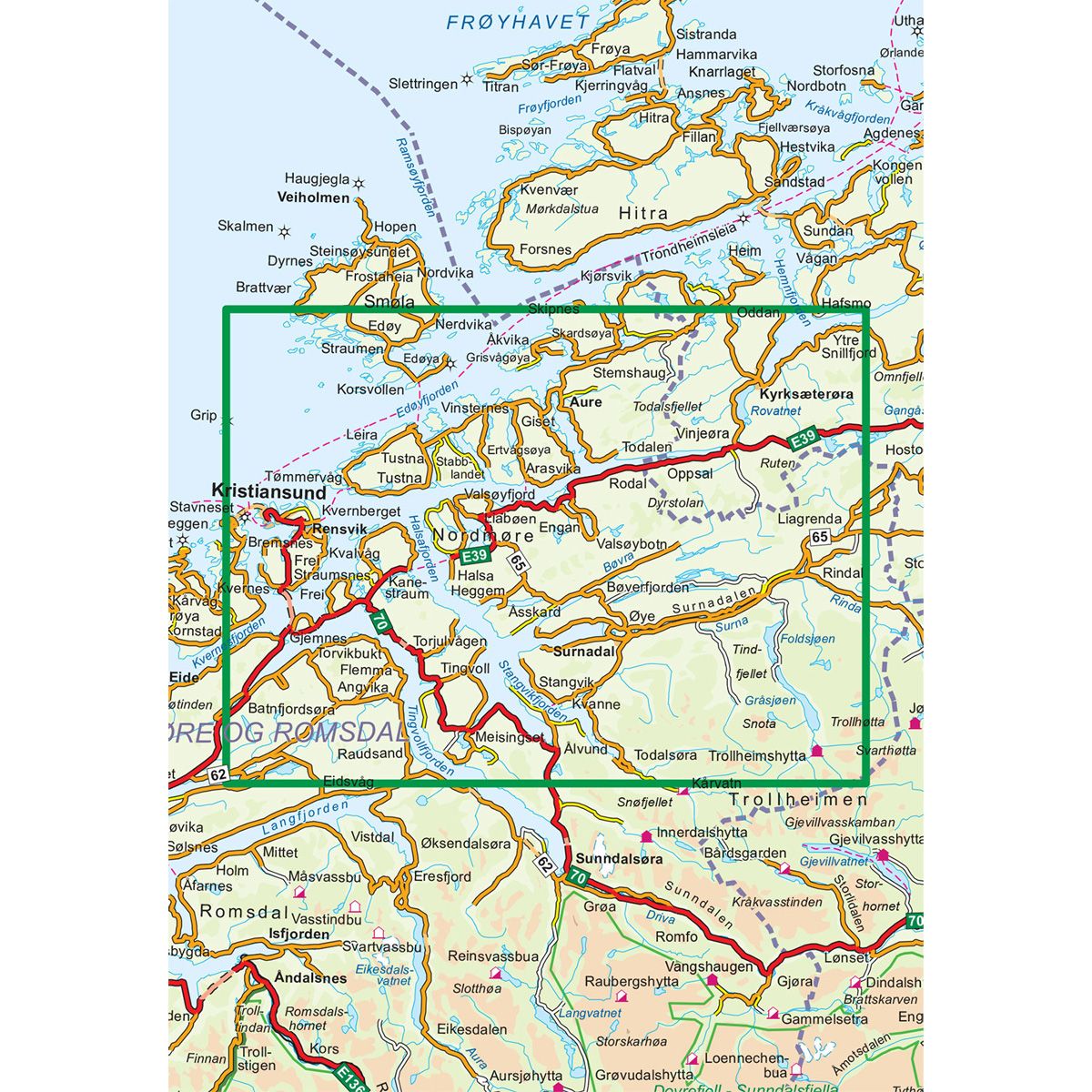
- The map covers Nordmøre, Surnadal, Trollheimen, Tustna og Kristiansund
- Scale 1:100 000 in water resistant material
€24.00
In stock
| Brand | Nordic Maps |
|---|---|
| SKU | 2607 |
| Map size | 70x100 cm |
| Scale | 1: 100 000 |
| Trails | Hiking trails |
| Updated | 2014 |
| Material | Plastic fiber |
| Map usage | Hiking |
| Accommodation | Serviced cabins, Unattended cabins, Self-catering cottages, hotels |
| EAN | 7046660026076 |
| Partner | The Norwegian Trekking Association |
| Map both sides | No |
| Country | Norway |
| Destinations | Aure, Batnfjordsøra, Edøya, Engan, Ertvågsøya, Foldsjøen, Frei, Grip, Gråsjøen, Halsa, Kristiansund, Kvanne, Kvernberget, Kyrksæterøra, Langfjorden, Møre og Romsdal, Nerdvika, Nordmøre, Rensvik, Rindal, Ruten, Skardsøya, Smøla, Snota, Stabblandet, Surna, Surnadal, Surnadalen, Tingvoll, Trollheimen, Trollhøtta, Trondheimsleia, Tustna, Tømmervåg, Vinjeøra |
| Format | Foldable |
| Language | Norwegian, English |
| Series | Hiking maps |
Coastal walking route with varied terrain from the shores up to the mountaintops. View of the row of peaks from Trollheimen to Romsdalsfjell on one side and of the sea on the other. Several trails cross a child-friendly landscape. You can start at the Kvernberget Airport terminal in Kristiansund. A total of 13 self-service cabins have been opened since 1997. These include mountain huts, “stabbur” (traditional storage huts), and a restored cabin. Eight of the cabins are newer buildings.
DNT hiking maps
This map series was developed in cooperation with The Norwegian Trekking Association (DNT) and contains DNT trails, cabins and other useful trekking information. A few of the maps also have ski trails.
The DNT maps are published in three different scales (levels of detail).
1:25 000 for more defined and detailed information. Suitable for shorter treks.
1:50 000 is the optimal scale for treks.
1:100 000 offers a good overview of larger areas and is useful when planning trips.
The maps are printed on durable and weatherproof plastic fibre or paper material.
Language: Norwegian and English