Norway
  Deutsch
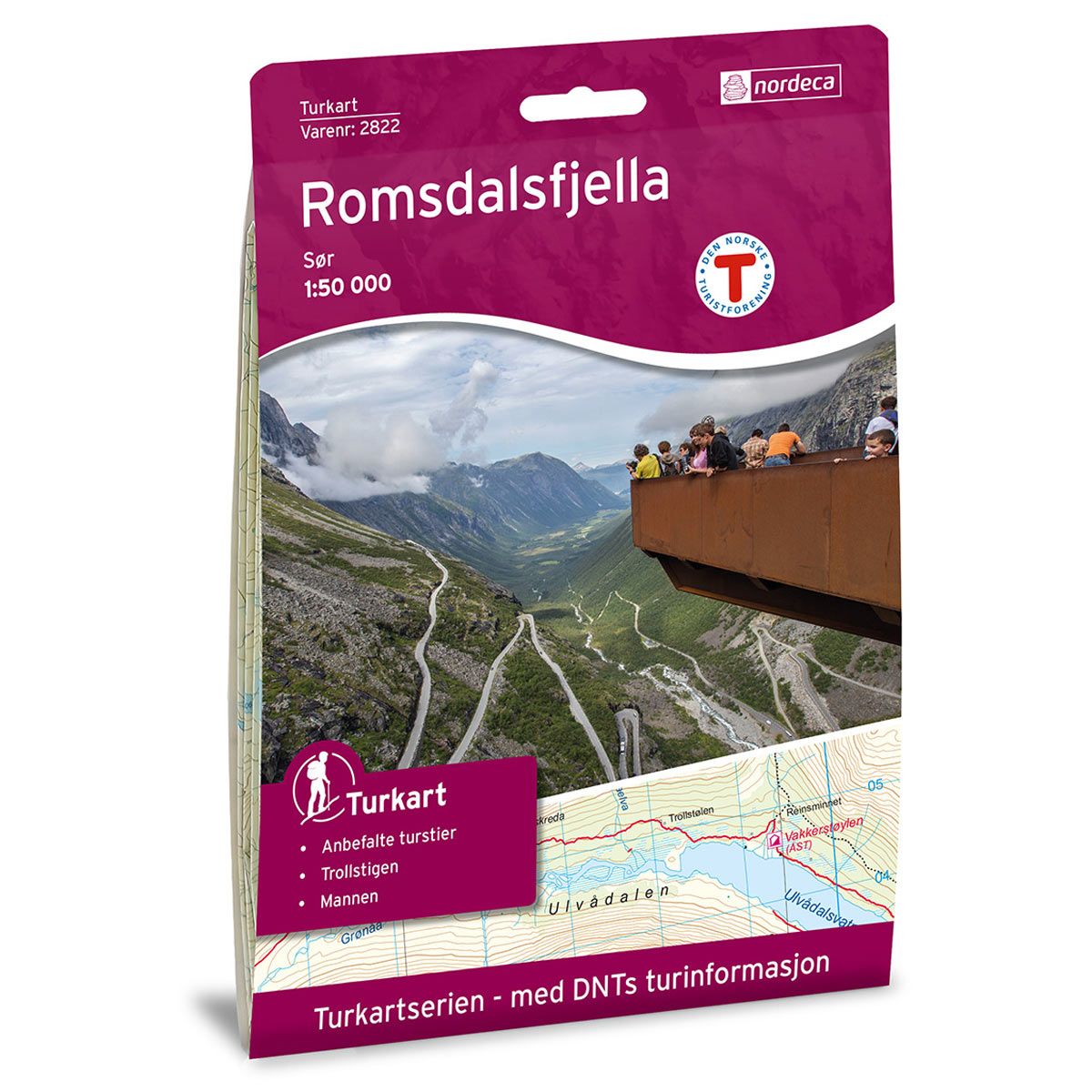


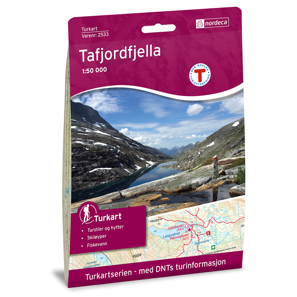

Romsdalsfjella Sør DNT hiking map
Map with Norwegian Trekking Association information about trails and cabins.
- The map covers Rauma, Reinheimen, Tafjordfjella, Trolltindan og Åndalsnes
- Scale 1:50 000 in water resistant material
€24.00
In stock
| Brand | Nordic Maps |
|---|---|
| SKU | 2822 |
| Map size | 70x100 cm |
| Scale | 1: 50 000 |
| Trails | Hiking trails |
| Updated | 2015 |
| Material | Plastic fiber |
| Map usage | Hiking, Cross Country |
| Accommodation | Serviced cabins, Unattended cabins, Self-catering cottages, hotels |
| Attractions | Trollstigen |
| EAN | 7046660028223 |
| Partner | The Norwegian Trekking Association |
| Map both sides | No |
| Country | Norway |
| Destinations | Eikesdalen, Eikesdalsvatnet, Rauma, Reinheimen, Romsdalen, Tafjordfjella, Trolltindan, Åndalsnes |
| Format | Foldable |
| Language | Norwegian, English |
| Series | Hiking maps |
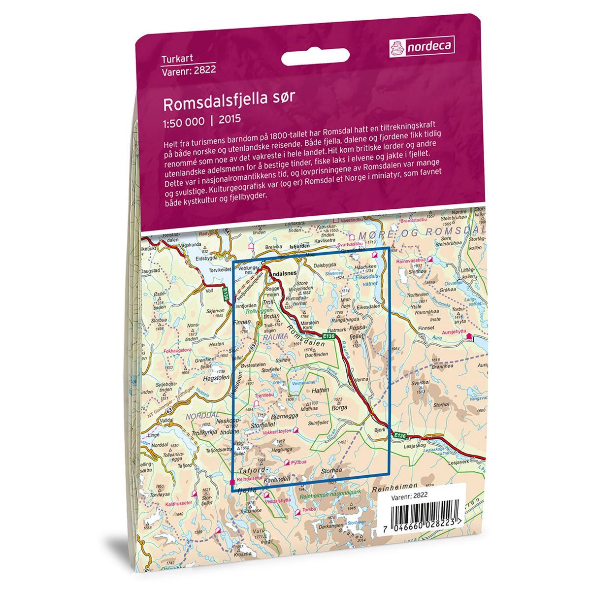
Romsdal has held a fascination for both Norwegian and foreign travellers since the 1800s. Its mountains, valleys and fjords gained an early reputation as some of the most beautiful in the country. The area was visited by British lords and other foreign noblemen seeking to climb the peaks, fish for salmon in the rivers and hunt in the mountains. In an era of romantic nationalism, there was extravagant praise for, and appreciation of Romsdalen. From a perspective of cultural geography, Romsdal was (and still is) Norway in a nutshell, encompassing both coastal culture and mountain villages.
DNT hiking maps
This map series was developed in cooperation with The Norwegian Trekking Association (DNT) and contains DNT trails, cabins and other useful trekking information. A few of the maps also have ski trails.
The DNT maps are published in three different scales (levels of detail).
1:25 000 for more defined and detailed information. Suitable for shorter treks.
1:50 000 is the optimal scale for treks.
1:100 000 offers a good overview of larger areas and is useful when planning trips.
The maps are printed on durable and weatherproof plastic fibre or paper material.
Language: Norwegian and English