Norway
  Deutsch
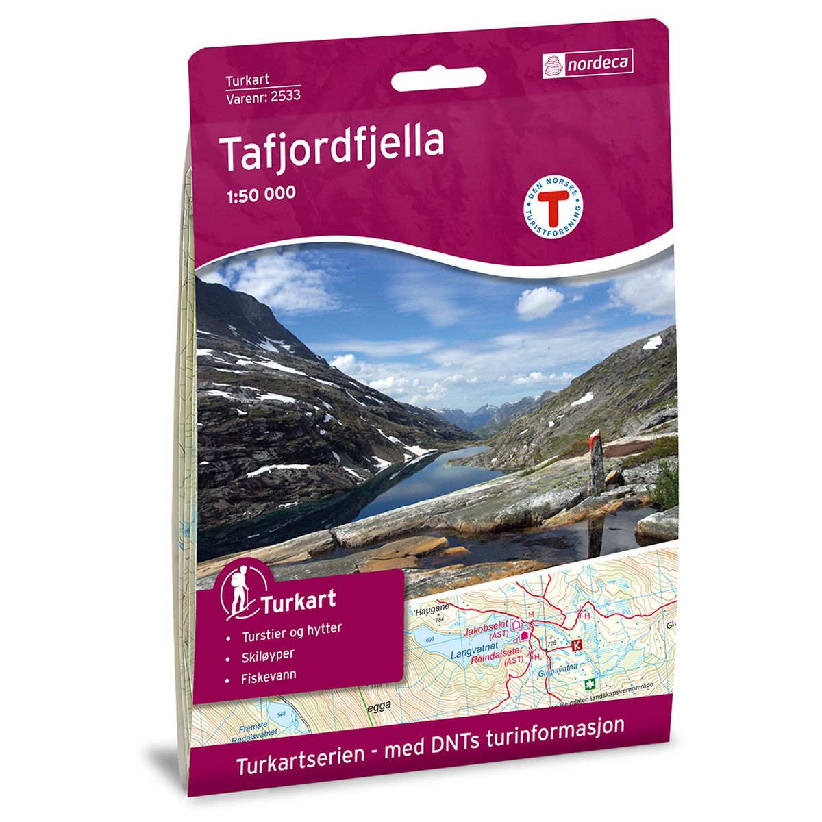
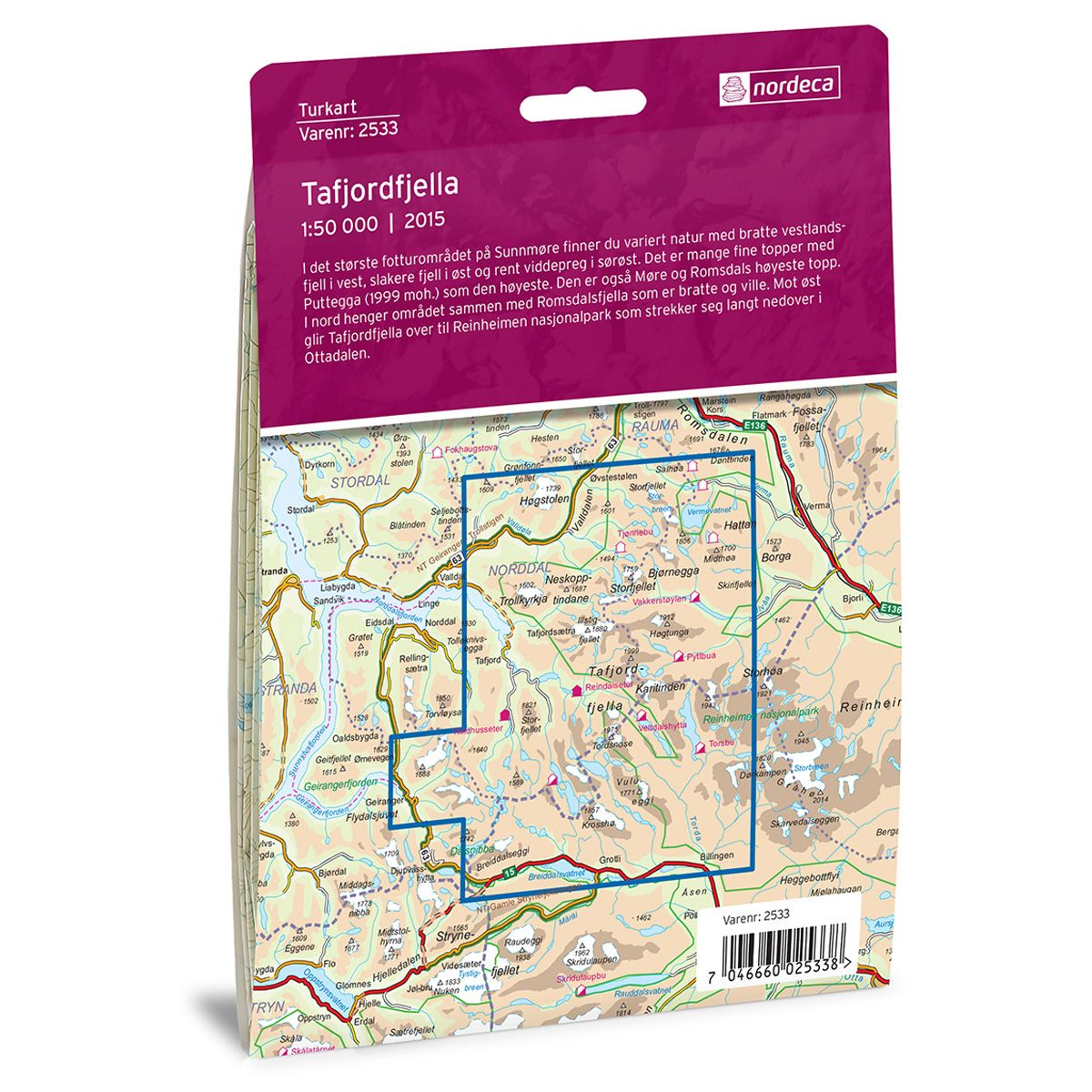
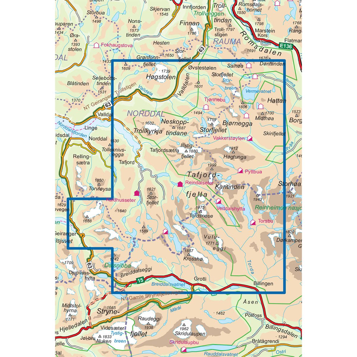
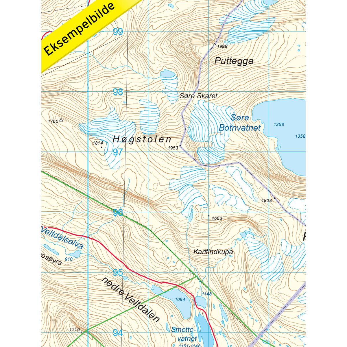

Tafjordfjella DNT hiking map
Map with Norwegian Trekking Association information about trails and cabins.
- The map covers Geiranger, Grotli, Reinheimen, Høgstolen og Valldal
- Scale 1:50 000 in water resistant material
€24.00
In stock
| Brand | Nordic Maps |
|---|---|
| SKU | 2533 |
| Map size | 70x100 cm |
| Scale | 1: 50 000 |
| Trails | Hiking trails |
| Updated | 2015 |
| Material | Plastic fiber |
| Map usage | Hiking, Cross Country |
| Accommodation | Serviced cabins, Unattended cabins, Self-catering cottages, hotels |
| Attractions | Geirangerfjorden |
| EAN | 7046660025338 |
| Partner | The Norwegian Trekking Association |
| Map both sides | No |
| Country | Norway |
| Destinations | Geiranger, Grotli, Høgstolen, Reinheimen, Reinheimen nasjonalpark, Tafjord, Tafjordfjella, Valldal, Valldalen |
| Format | Foldable |
| Language | Norwegian, English |
| Series | Hiking maps |
The largest hiking area in Sunnmøre has a varied natural landscape, with the steep mountains of the west, sloping mountains of the east and moorlands of the southeast. There are several peaks, of which Puttegga (1999 masl) is the highest. This is also the highest peak in Møre og Romsdal. In the north, the area is connected to the Romsdalsfjella mountain region, which is steep and wild. Toward the east, Tafjordfjella merges with Reinheimen National Park, which stretches all the way down into Ottadalen.
DNT hiking maps
This map series was developed in cooperation with The Norwegian Trekking Association (DNT) and contains DNT trails, cabins and other useful trekking information. A few of the maps also have ski trails.
The DNT maps are published in three different scales (levels of detail).
1:25 000 for more defined and detailed information. Suitable for shorter treks.
1:50 000 is the optimal scale for treks.
1:100 000 offers a good overview of larger areas and is useful when planning trips.
The maps are printed on durable and weatherproof plastic fibre or paper material.
Language: Norwegian and English