Norway
  Deutsch
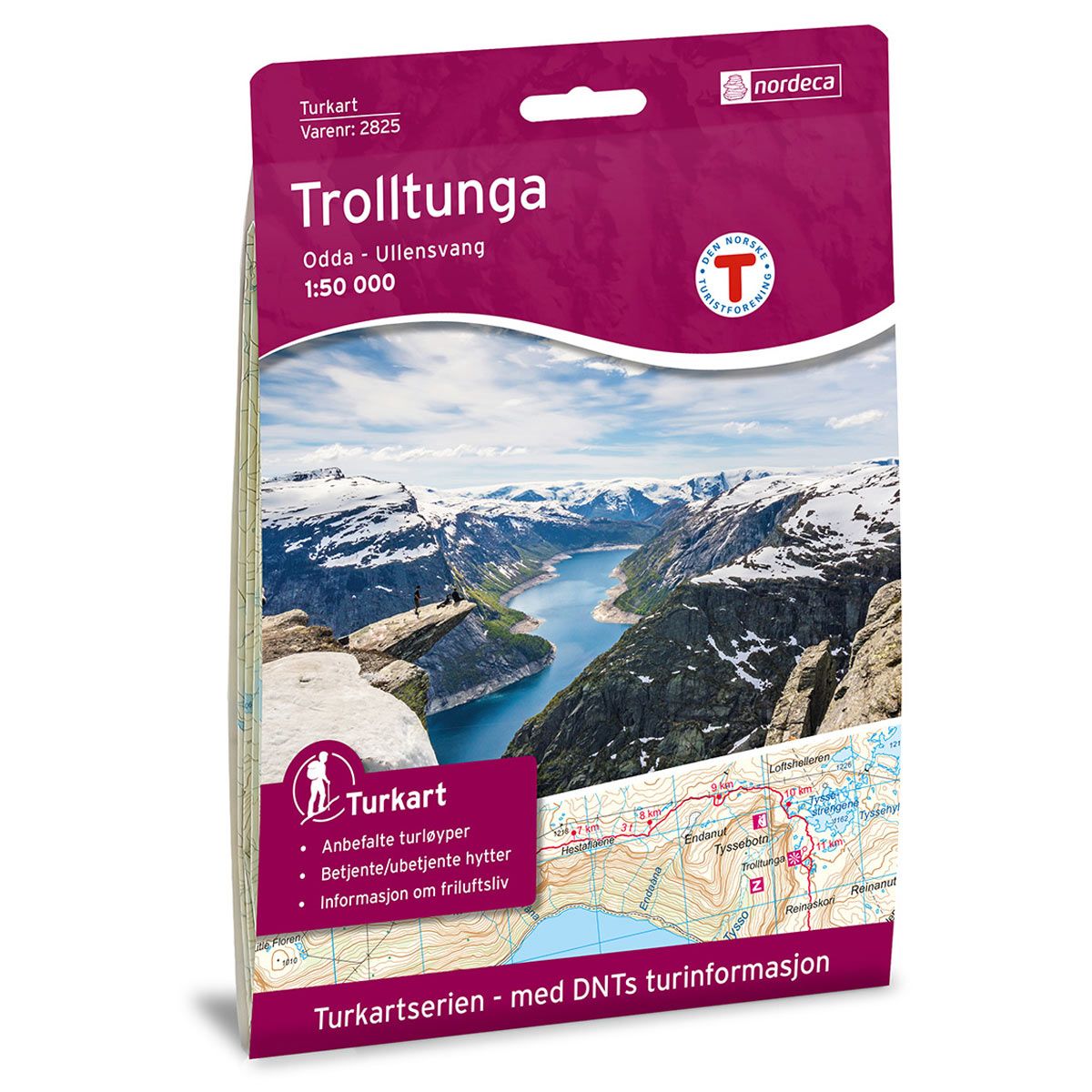
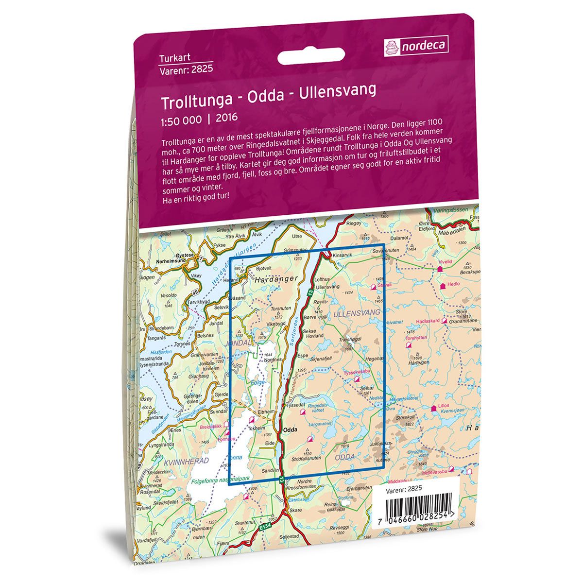


Trolltunga, Odda - Ullensvang DNT hiking map
Map with Norwegian Trekking Association information about trails and cabins.
- The map covers Folgefonna, Hardanger, Kinsarvik, Tyssedal og Ullensvang
- Scale 1:50 000 in water resistant material
€24.00
In stock
| Brand | Nordic Maps |
|---|---|
| SKU | 2825 |
| Map size | 70x100 cm |
| Scale | 1: 50 000 |
| Trails | Hiking trails |
| Updated | 2016 |
| Material | Plastic fiber |
| Map usage | Hiking, Cross Country |
| Accommodation | Serviced cabins, Unattended cabins, Self-catering cottages, hotels |
| Attractions | Trolltunga |
| EAN | 7046660028254 |
| Partner | The Norwegian Trekking Association |
| Map both sides | No |
| Country | Norway |
| Destinations | Folgefonna, Folgefonna nasjonalpark, Hardanger, Hardangerfjorden, Kinsarvik, Lofthus, Odda, Sørfjorden, Tyssedal, Ullensvang, Utne |
| Format | Foldable |
| Language | Norwegian, English |
| Series | Hiking maps |
Trolltunga is one of the most spectacular mountain formations in Norway. It stands 1100 masl, approx. 700 meters above Ringedalsvatnet Lake in Skjeggedal. People flock to Hardanger from all over the world to experience Trolltunga! The area around Trolltunga in Odda and Ullensvang has so much more to offer. This map provides good information about treks and recreational opportunities in an area with fjords, mountains, waterfalls and glaciers. The area is well-suited for outdoor activities in both summer and winter. Have a great trip!
DNT hiking maps
This map series was developed in cooperation with The Norwegian Trekking Association (DNT) and contains DNT trails, cabins and other useful trekking information. A few of the maps also have ski trails.
The DNT maps are published in three different scales (levels of detail).
1:25 000 for more defined and detailed information. Suitable for shorter treks.
1:50 000 is the optimal scale for treks.
1:100 000 offers a good overview of larger areas and is useful when planning trips.
The maps are printed on durable and weatherproof plastic fibre or paper material.
Language: Norwegian and English