Norway
  Deutsch
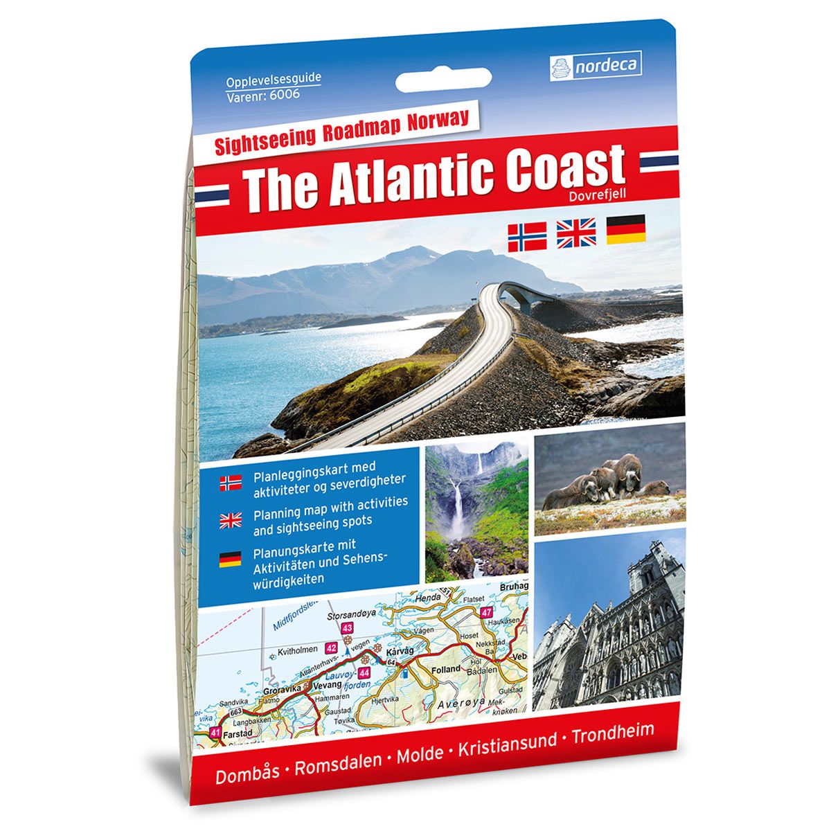
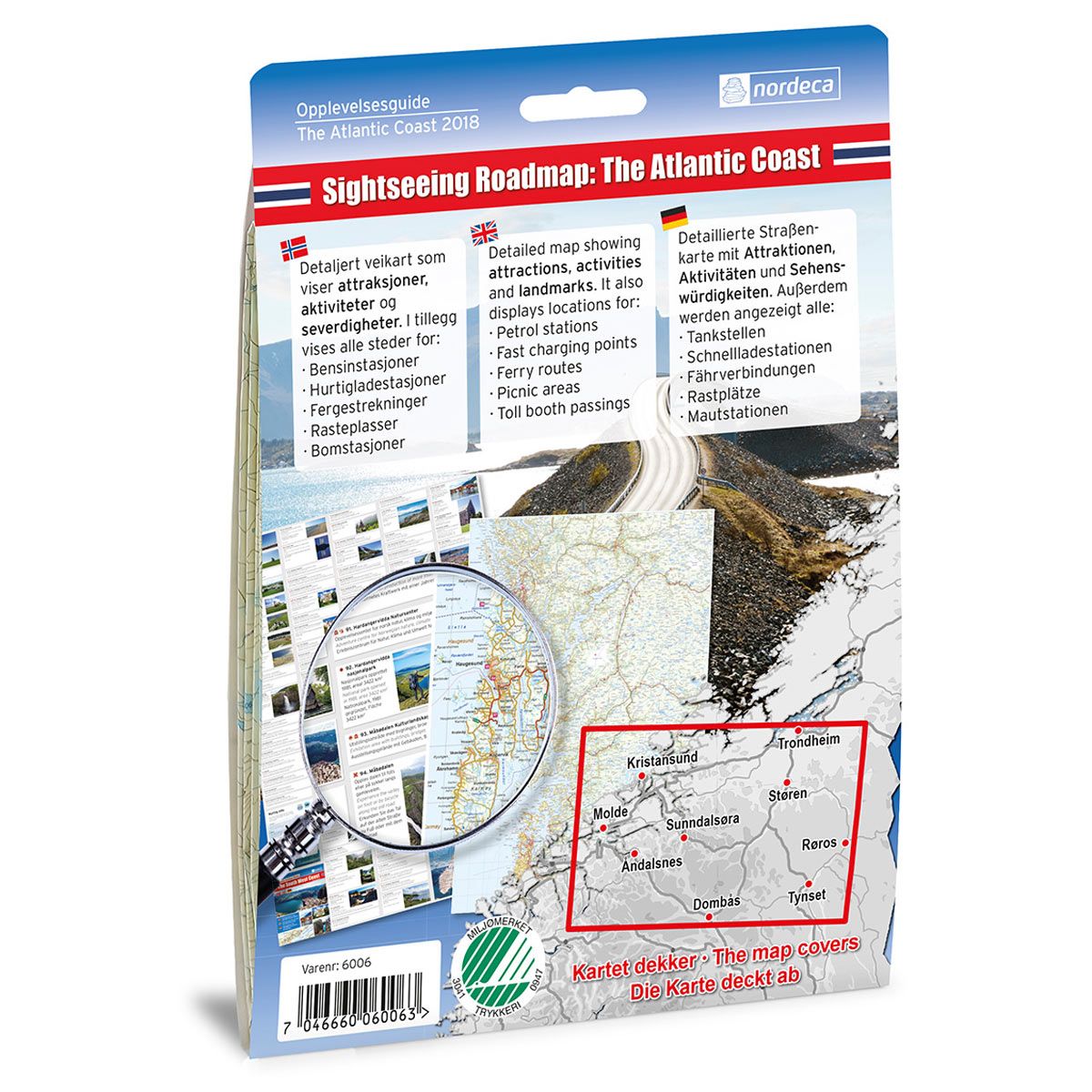


The Atlantic Coast / Dovrefjell 1:250 000 Sightseeing Guides
Guide for activities, attractions and places of interest.
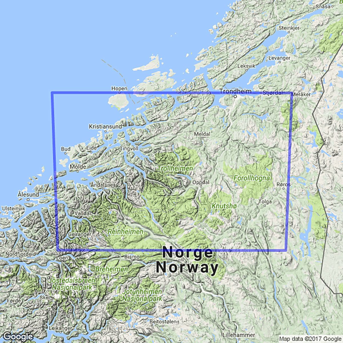
- The map covers Kristiansund, Trondheim, Røros, Dombås, Åndalsnes og Molde
- Lots of useful tourist information
€25.00
In stock
| Brand | Nordic Maps |
|---|---|
| SKU | 6006 |
| Map size | 70x100 cm |
| Scale | 1: 250 000 |
| Updated | 2018 |
| Material | Paper |
| Map usage | In the car, Sightseeing and activities |
| Attractions | Trollstigen, Geirangerfjorden, Atlanterhavsveien |
| EAN | 7046660060063 |
| Map both sides | No |
| Country | Norway |
| Destinations | Kristiansund, Trondheim, Støren, Røros, Tynset, Dombås, Åndalsnes, Sunndalsøra, Molde, Folldal, Lesja, Geiranger, Trollheimen, Atlanterhavsveien |
| Format | Foldable |
| Language | Norwegian, English, German |
| Series | Sightseeing Guides |
The Atlantic Coast Adventure Guide covers the E6 route from Dombås to Trondheim, the route through Romsdalen from Dombås to Molde and the route from Molde to Trondheim via Kristiansund with detours along the way. The map has 102 attractions, activities and places of interest including: Trollstigen, the Atlantic Ocean Road , Dalsnibba mountain, Nidaros Cathedral, Kvernes stave church, Viewpoint Snøhetta and Ergan Coastal Fort.
Sightseeing maps
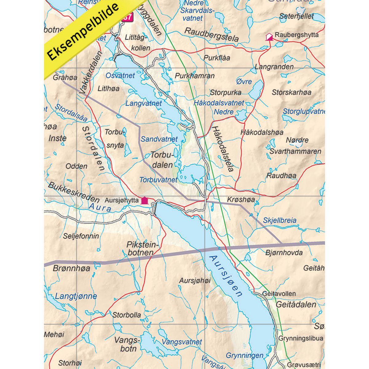
Detailed road maps with adventure guides that provide a good overview of the popular tourist destinations. Using descriptive texts and pictures, the Adventure Guides indicate spots on the map where you can find attractions, activities and places of interest. It also displays useful road information such as petrol stations and fast charging points, ferry routes, picnic areas and toll booth passings. Adventure Guides are perfect for planning road trips in Norway.
Adventure Guides can be found in two different versions, but the content is the same. Blue Adventure Guides have a large map, perfect for holiday planning. Yellow Adventure Guides are designed in a smaller and more flexible format, suitable for use while on the road.
The Adventure Guides are available in
three languages - Norwegian, English and German.