
 Norway
  Deutsch
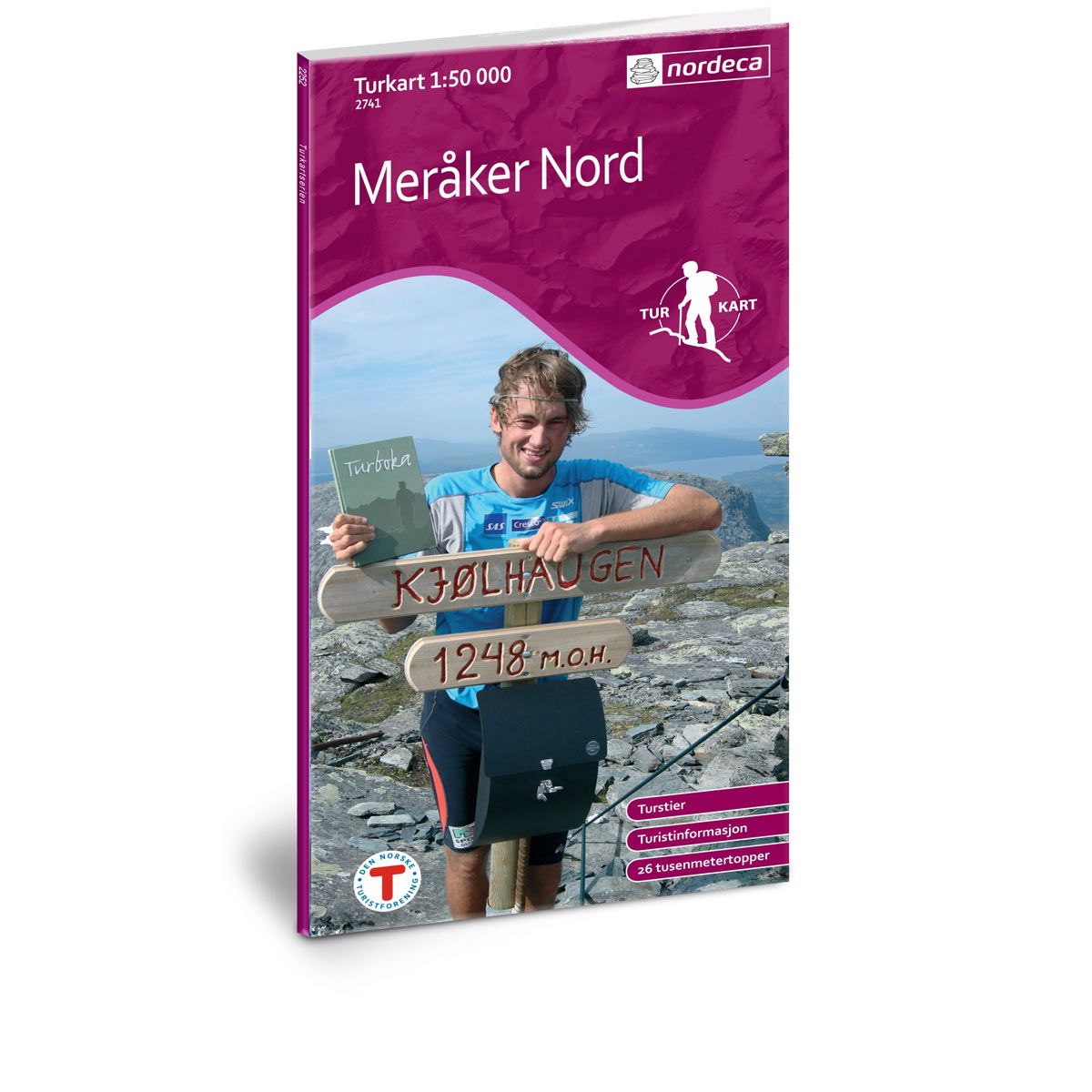

Meråker Nord DNT hiking map
Map with Norwegian Trekking Association information about trails and cabins.
- Scale 1:50 000
Special Price
€20.00
Regular Price
€24.00
Out of stock
| Brand | Nordic Maps |
|---|---|
| SKU | 2741 |
| Map size | 70x100 cm |
| Scale | 1: 50 000 |
| Trails | Hiking trails |
| Updated | 2011 |
| Material | Paper |
| Map usage | Hiking |
| Accommodation | Serviced cabins, Unattended cabins, Self-catering cottages, hotels |
| EAN | 7046660027417 |
| Partner | The Norwegian Trekking Association |
| Map both sides | No |
| Country | Norway |
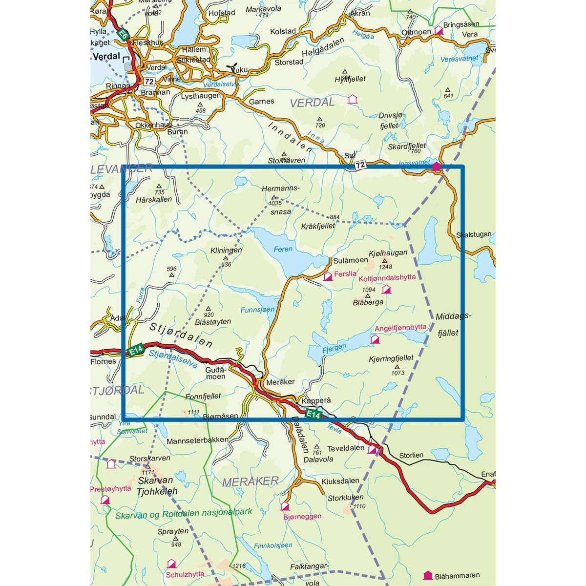
| Destinations | Feren, Fjergen, Forra, Kjølhaugan, Meråker, Stjørdalen |
| Format | Foldable |
| Language | Norwegian, English |
| Series | Hiking maps |
The Merkåker map consists of two parts: Meråker North and Meråker South. This map is the result of cooperative efforts between the company Meråker Utvikling and other actors in Meråker. We now have a map we can be proud of. It describes what the region has to offer in both summer and winter. This includes trails leading to all 26 peaks higher than 1000 meters, and much more. The back of the map includes information on the 1000-meter peaks and other useful information when visiting Meråker.
DNT hiking maps
This map series was developed in cooperation with The Norwegian Trekking Association (DNT) and contains DNT trails, cabins and other useful trekking information. A few of the maps also have ski trails.
The DNT maps are published in three different scales (levels of detail).
1:25 000 for more defined and detailed information. Suitable for shorter treks.
1:50 000 is the optimal scale for treks.
1:100 000 offers a good overview of larger areas and is useful when planning trips.
The maps are printed on durable and weatherproof plastic fibre or paper material.
Language: Norwegian and English