Norway
  Deutsch
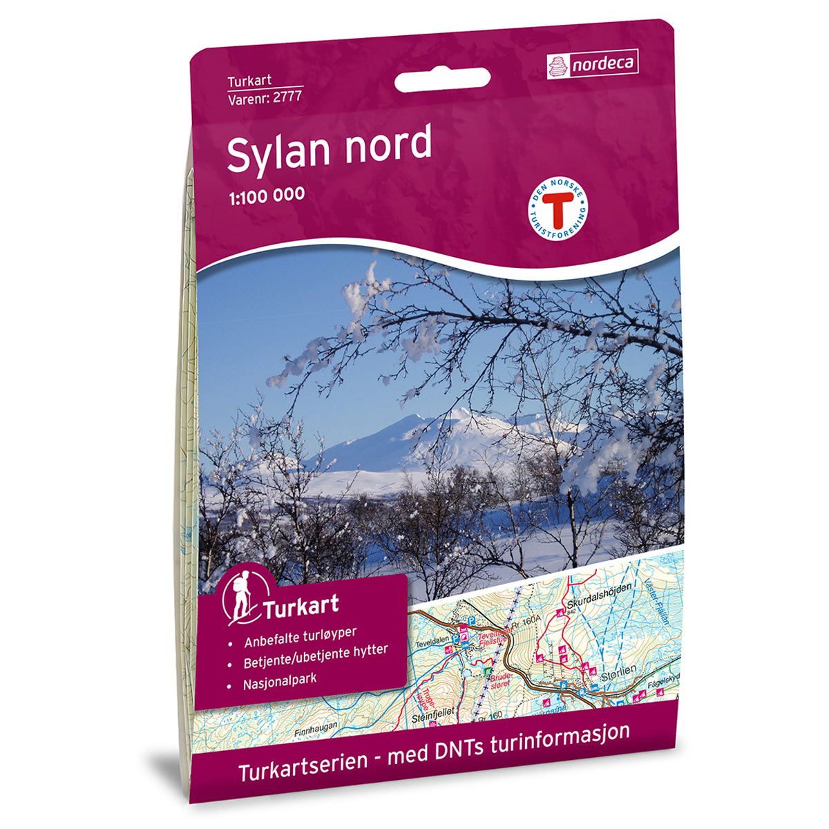

Sylan Nord DNT hiking map
Map with Norwegian Trekking Association information about trails and cabins.
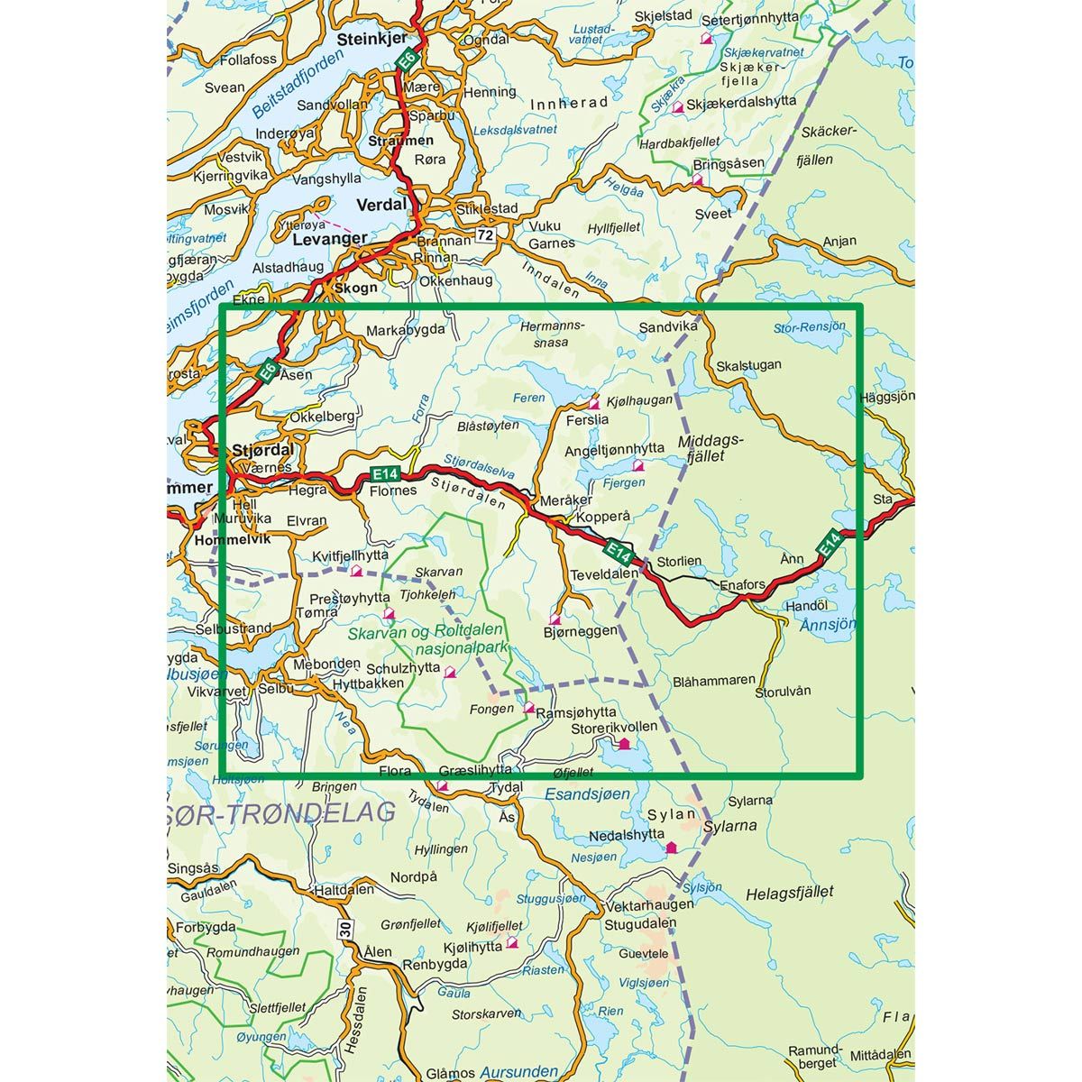
- The map covers Meråker, Selbu, Skarvan, Nea, Værnes, Ekne og Stjørdal
- Scale 1:100 000 in water resistant material
€24.00
In stock
| Brand | Nordic Maps |
|---|---|
| SKU | 2777 |
| Map size | 70x100 cm |
| Scale | 1: 100 000 |
| Trails | Hiking trails |
| Updated | 2011 |
| Material | Plastic fiber |
| Map usage | Hiking, Cross Country |
| Accommodation | Serviced cabins, Unattended cabins, Self-catering cottages, hotels |
| EAN | 7046660027776 |
| Partner | The Norwegian Trekking Association |
| Map both sides | No |
| Country | Norway |
| Destinations | Ekne, Esandsjøen, Feren, Fjergen, Fongen, Forra, Kjølhaugan, Meråker, Nea, Selbu, Skarvan, Skarvan og Roltdalen nasjonalpark, Skatval, Stjørdal, Stjørdalen, Tydalen, Værnes, Åsen |
| Format | Foldable |
| Language | Norwegian, English |
| Series | Hiking maps |
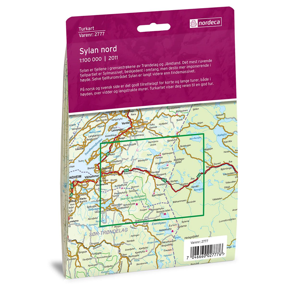
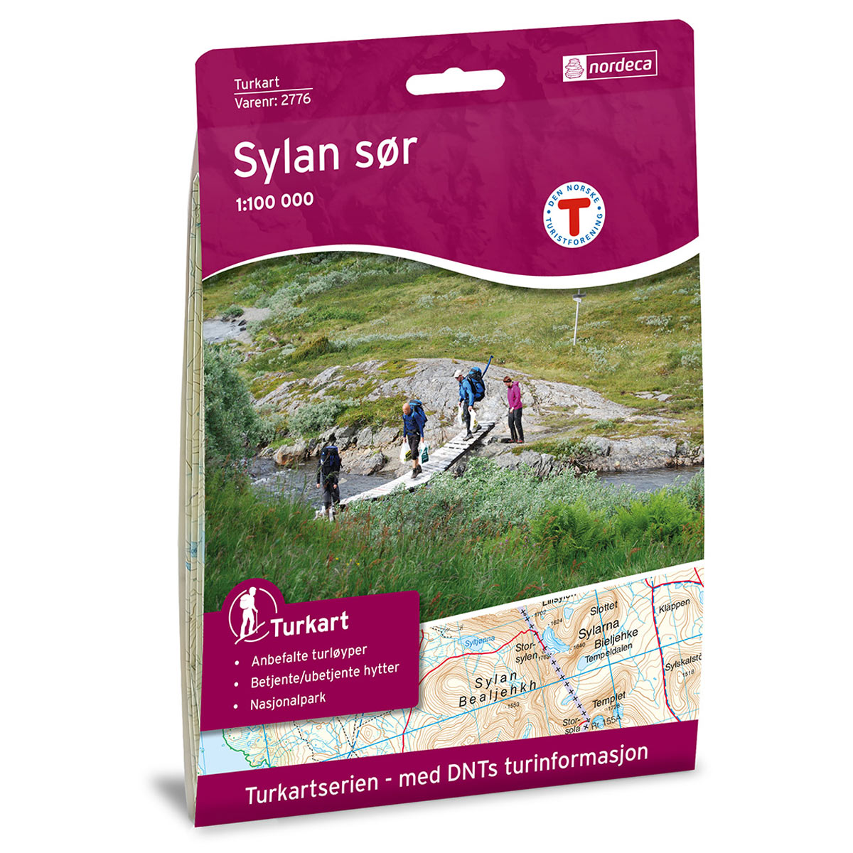
Sylan is a mountain range along the border of Trøndelag in Norway and Jämtland in Sweden. The most imposing mountainous area is Sylmassivet. It may be modest in width, but has an impressive height. The mountain trails of Sylan extend much farther than the mountain range itself. There are numerous trails on both the Norwegian and Swedish sides for both shorter and longer trips, high up in the mountains and across the moors and acres of marshes. The trail map will lead the way to an enjoyable trek.
DNT hiking maps
This map series was developed in cooperation with The Norwegian Trekking Association (DNT) and contains DNT trails, cabins and other useful trekking information. A few of the maps also have ski trails.
The DNT maps are published in three different scales (levels of detail).
1:25 000 for more defined and detailed information. Suitable for shorter treks.
1:50 000 is the optimal scale for treks.
1:100 000 offers a good overview of larger areas and is useful when planning trips.
The maps are printed on durable and weatherproof plastic fibre or paper material.
Language: Norwegian and English