Norway
  Deutsch
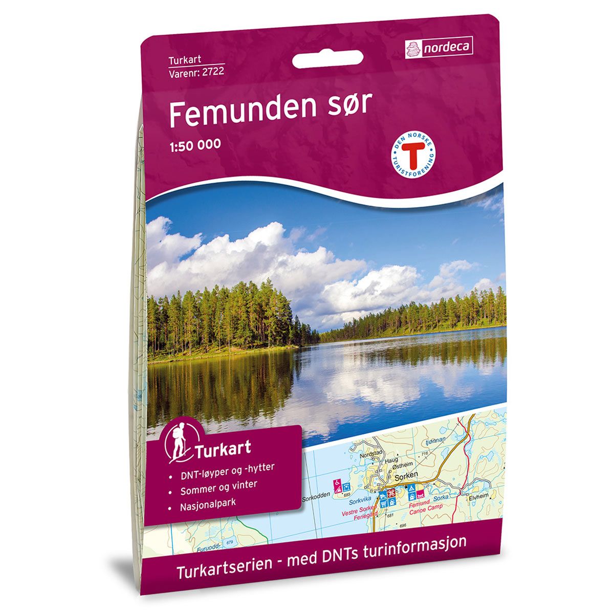
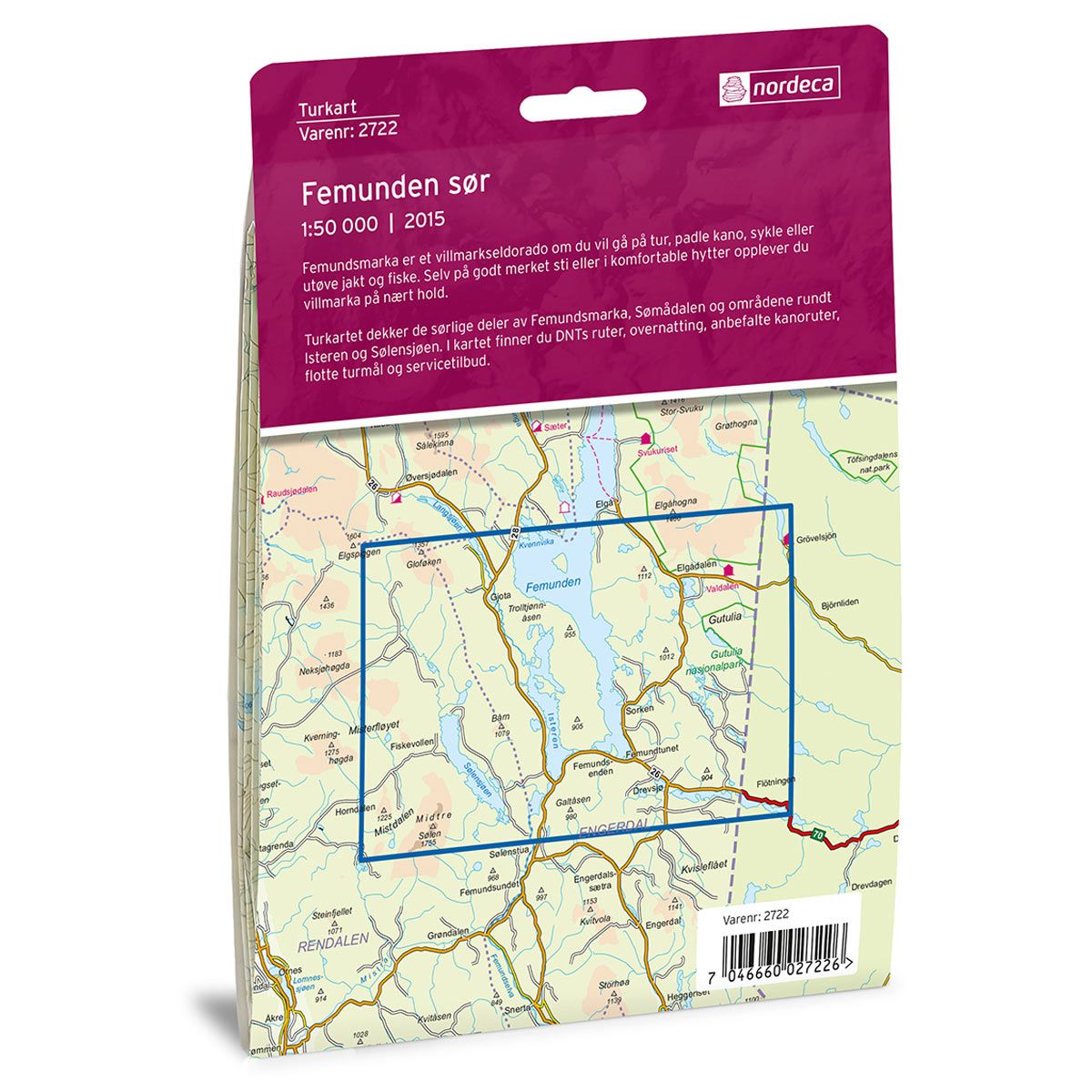

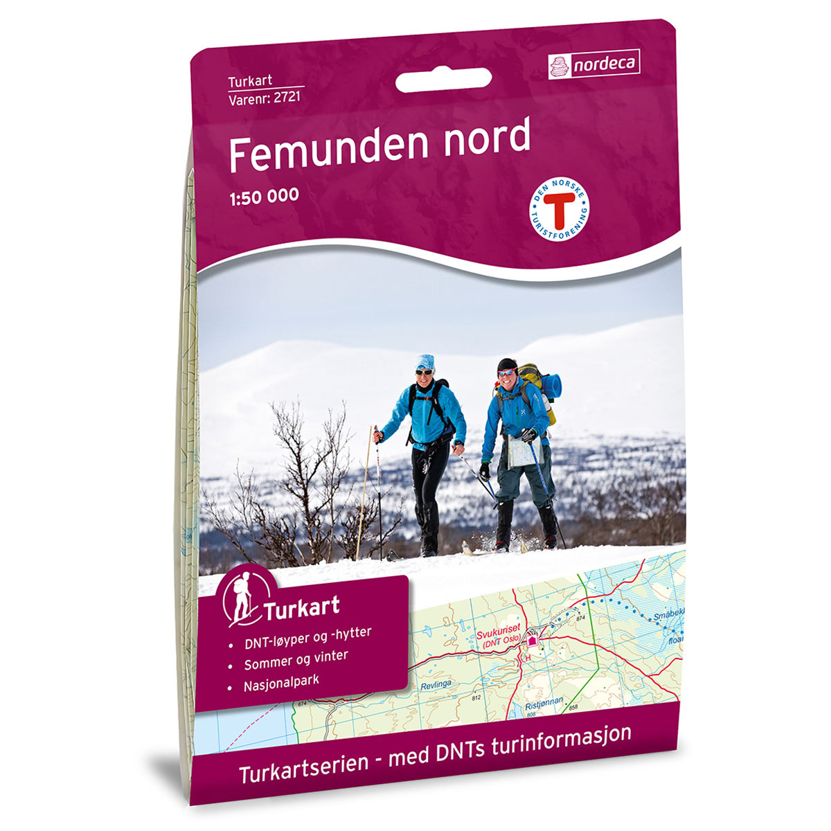

Femunden Sør DNT hiking map
Map with Norwegian Trekking Association information about trails and cabins.
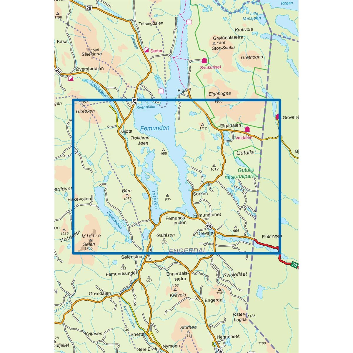
- The map covers Drevsjø, Elgåhogna, Gutulia, Isteren og Sølendalen
- Scale 1:50 000 in water resistant material
€24.00
In stock
| Brand | Nordic Maps |
|---|---|
| SKU | 2722 |
| Map size | 70x100 cm |
| Scale | 1: 50 000 |
| Trails | Hiking trails |
| Updated | 2015 |
| Material | Plastic fiber |
| Map usage | Hiking, Cross Country |
| Accommodation | Serviced cabins, Unattended cabins, Self-catering cottages, hotels |
| EAN | 7046660027226 |
| Partner | The Norwegian Trekking Association |
| Map both sides | No |
| Country | Norway |
| Destinations | Drevsjø, Elgåhogna, Femunden, Femundsenden, Gutulia, Isteren, Langsjøen, Midtre Sølen, Sølendalen, Sølensjøen |
| Format | Foldable |
| Language | Norwegian, English |
| Series | Hiking maps |
The wilderness of Femundsmarka is a paradise for those who enjoy hiking, canoeing, cycling, fishing or hunting. Here you can experience the wilderness up close., even on well-marked trails or in comfortable cabins. The trail map covers the southern parts of Femundsmarka, Sømadalen and the areas around Isteren and Sølensjøen. In the map, you will find Norwegian Trekking Association routes, overnight accommodations, recommended canoe routes, great trekking destinations and services.
DNT hiking maps
This map series was developed in cooperation with The Norwegian Trekking Association (DNT) and contains DNT trails, cabins and other useful trekking information. A few of the maps also have ski trails.
The DNT maps are published in three different scales (levels of detail).
1:25 000 for more defined and detailed information. Suitable for shorter treks.
1:50 000 is the optimal scale for treks.
1:100 000 offers a good overview of larger areas and is useful when planning trips.
The maps are printed on durable and weatherproof plastic fibre or paper material.
Language: Norwegian and English