Norway
  Deutsch
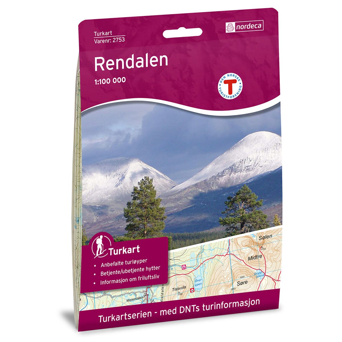
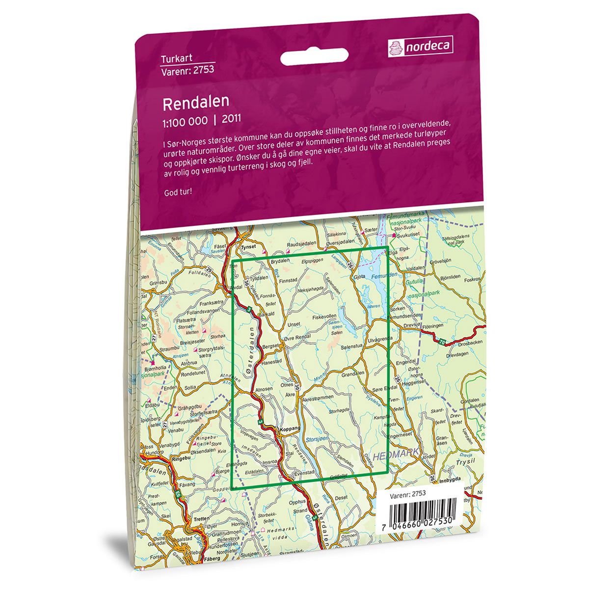

Rendalen DNT hiking map
Map with Norwegian Trekking Association information about trails and cabins.
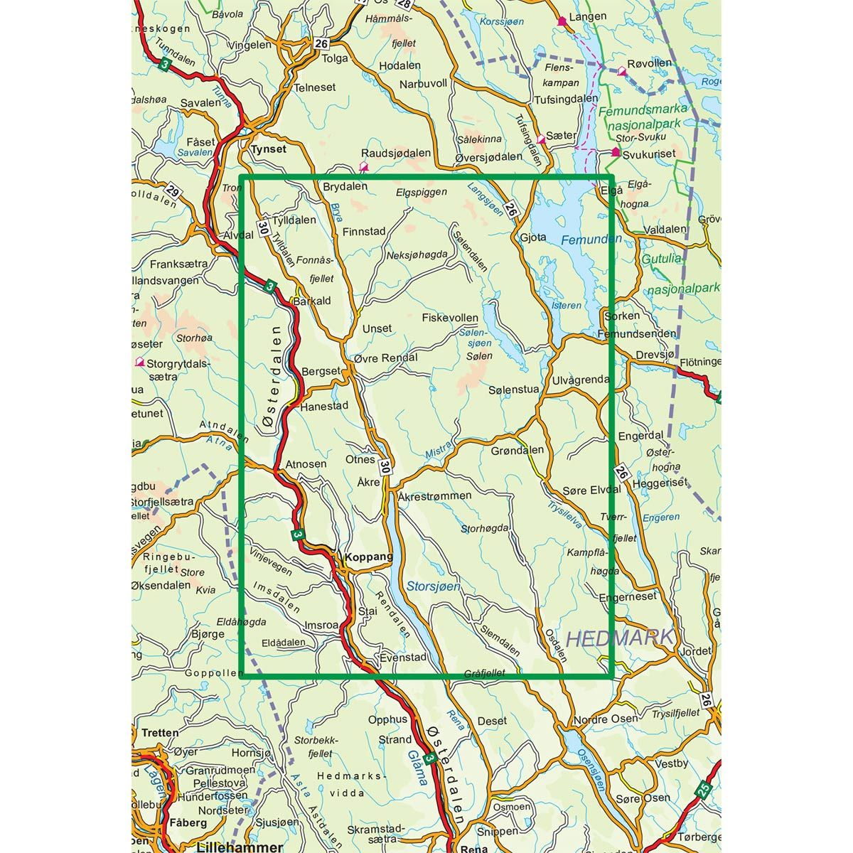
- The map covers Koppang, Femunden, Tverrfjellet, Atndalen, Elgå og Otnes
- Scale 1:100 000
€24.00
In stock
| Brand | Nordic Maps |
|---|---|
| SKU | 2753 |
| Map size | 70x100 cm |
| Scale | 1: 100 000 |
| Trails | Hiking trails |
| Updated | 2011 |
| Material | Paper |
| Map usage | Hiking, Cross Country |
| Accommodation | Serviced cabins, Unattended cabins, Self-catering cottages, hotels |
| EAN | 7046660027530 |
| Partner | The Norwegian Trekking Association |
| Map both sides | No |
| Country | Norway |
| Destinations | Atndalen, Atnosen, Barkald, Bergset, Eldådalen, Elgspiggen, Elgå, Femunden, Femundsenden, Hanestad, Hedmark, Imsdalen, Imsroa, Isteren, Koppang, Langsjøen, Midtre Sølen, Osdalen, Otnes, Rendalen, Slemdalen, Storsjøen, Sølendalen, Sølensjøen, Søre Elvdal, Trysilelva, Tverrfjellet, Tylldalen, Åkrestrømmen, Østerdalen, Øvre Rendal |
| Format | Foldable |
| Language | Norwegian, English |
| Series | Hiking maps |
Experience peace and quiet in the relatively untouched natural landscape of southern Norway’s largest municipality. Large parts of the municipality have marked hiking trails and prepared ski trails. For those who prefer to find their own routes, Rendalen has a peaceful and friendly hiking terrain through forests and across the mountains.
DNT hiking maps
This map series was developed in cooperation with The Norwegian Trekking Association (DNT) and contains DNT trails, cabins and other useful trekking information. A few of the maps also have ski trails.
The DNT maps are published in three different scales (levels of detail).
1:25 000 for more defined and detailed information. Suitable for shorter treks.
1:50 000 is the optimal scale for treks.
1:100 000 offers a good overview of larger areas and is useful when planning trips.
The maps are printed on durable and weatherproof plastic fibre or paper material.
Language: Norwegian and English