
 Norway
  Deutsch
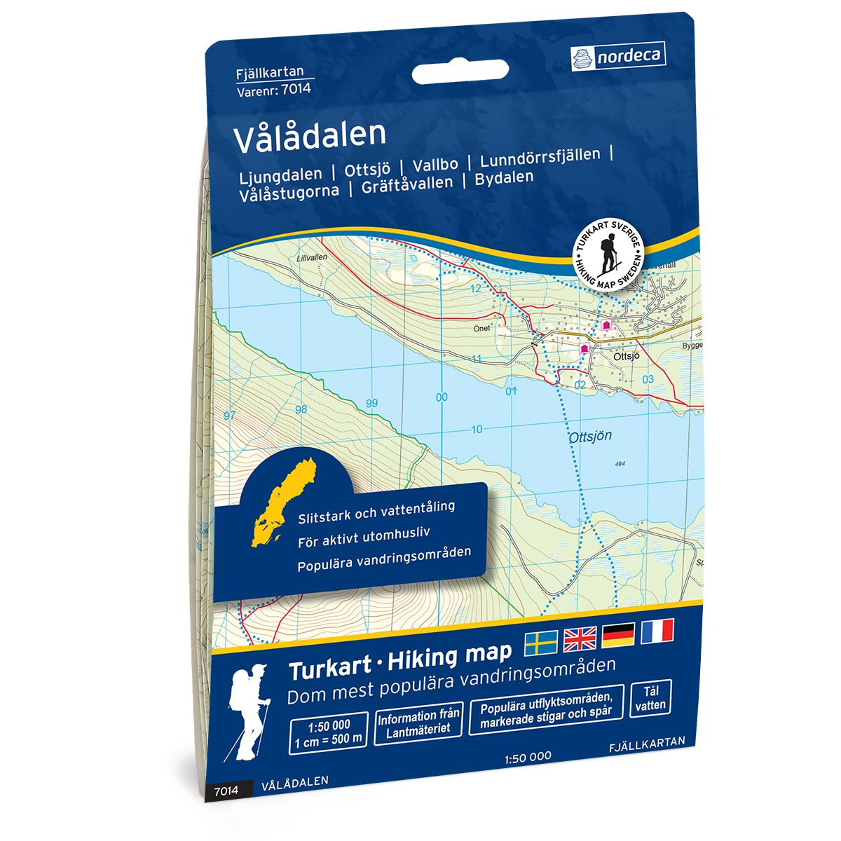
Vålådalen Swedish hiking map
Covers popular hiking areas with highlighted hiking information
- The map covers Ljungdalen, Ottsjö, Bydalen
- Scale 1:50 000 in water resistant material
€25.00
In stock
| Brand | Nordic Maps |
|---|---|
| SKU | 7014 |
| Map size | 70x100 cm |
| Scale | 1: 50 000 |
| Trails | Hiking trails |
| Updated | 2021 |
| Material | Plastic fiber |
| Map usage | Hiking, Cross Country |
| Accommodation | Cabins |
| Map both sides | Yes |
| Country | Sweden |
| Destinations | Ljungdalen, Ottsjö, Vallbo, Bydalen, Gräftåvallen, Tossåsen, Vallbo, Sjöändan, Vålådalen, Prästbodarna, Arådalen, Höglekardalen, |
| Format | Foldable |
| Language | English, German, Dutch, Swedish |
| Series | Swedish Mountain Map |
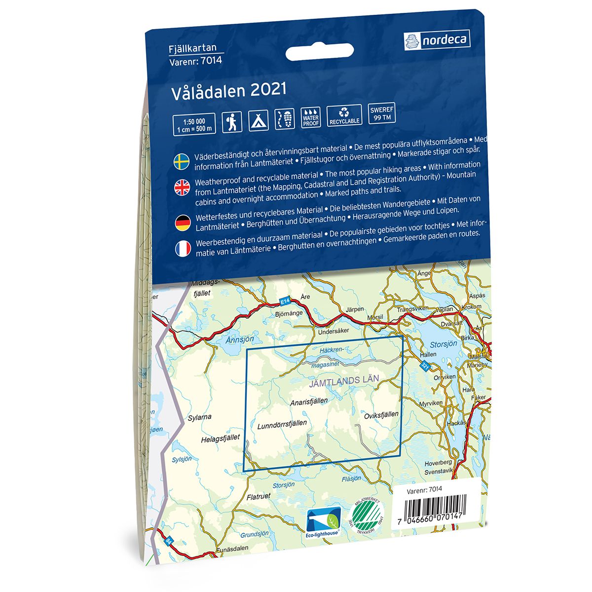
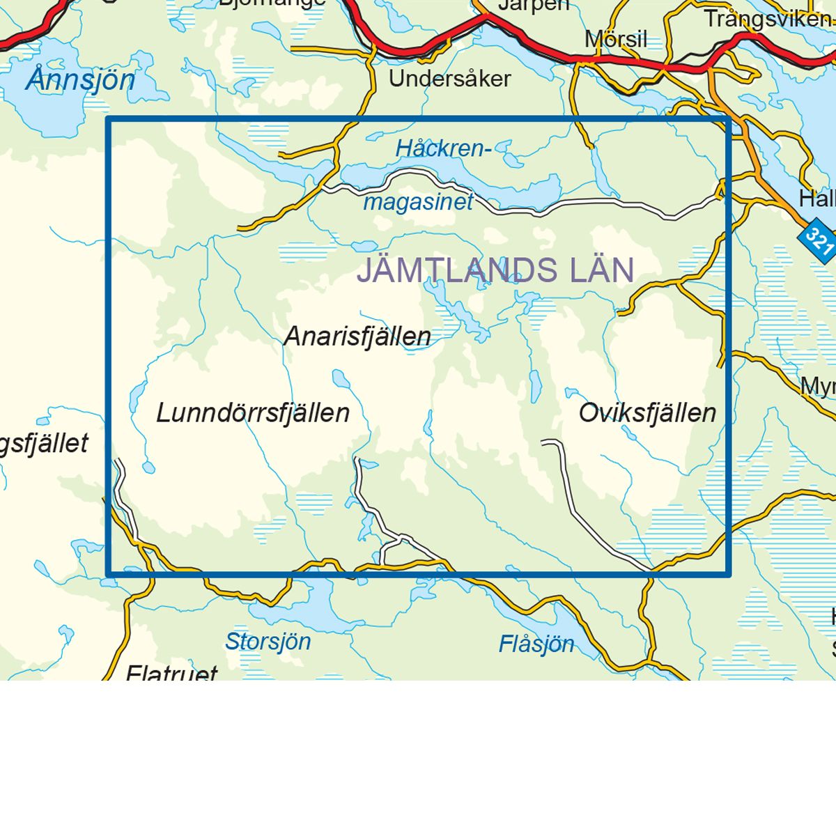
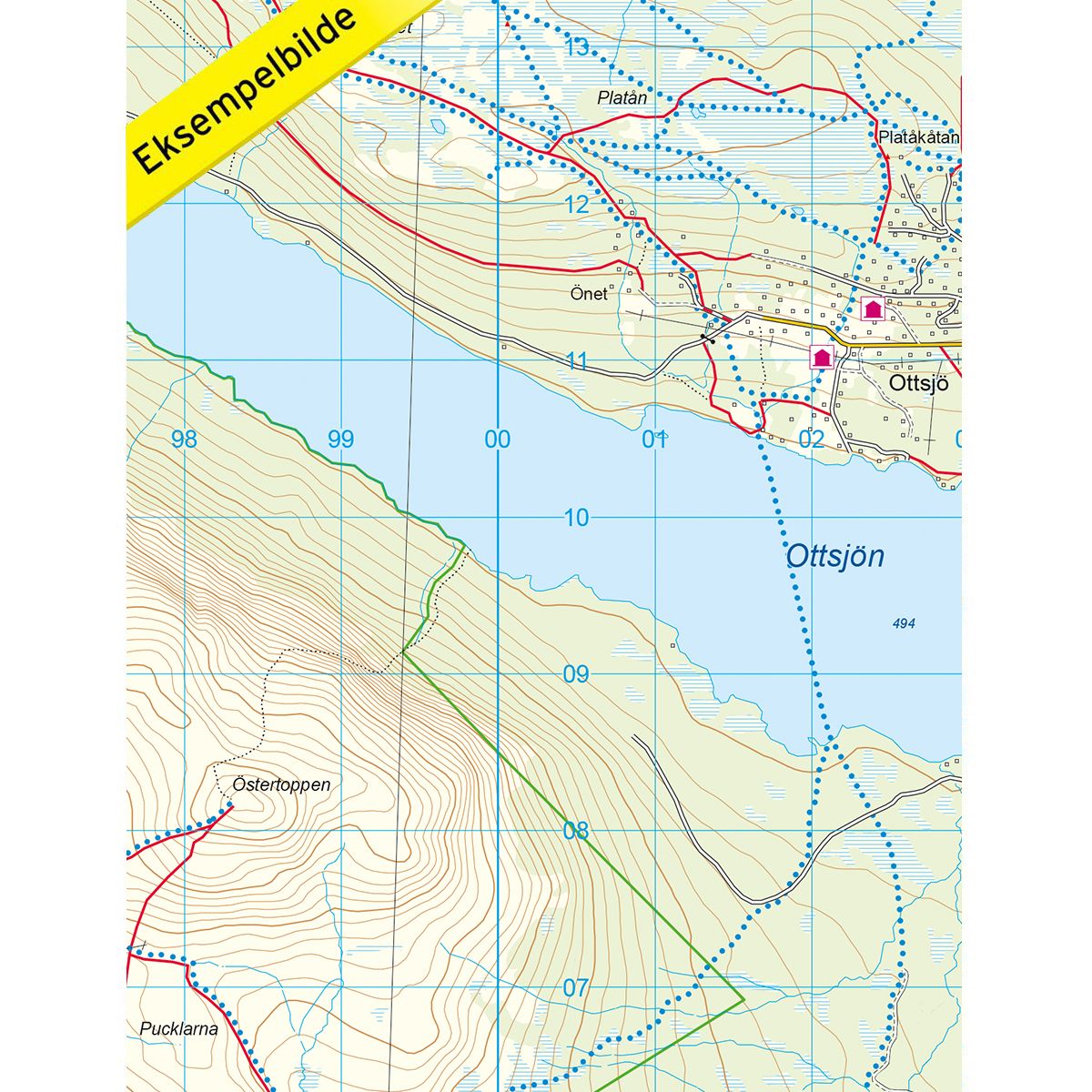
Mountain map Vålådalen is a detailed map that covers more than 3000 km2. This includes trails, mountain lodges and cabins in the area, which are clearly marked on the map. The map covers Vålådalen, located in the heart of the southern mountains of Åre. Vålådalen is a popular winter sport area south of Åre, at the foot of the Ottfjållet mountain. The area is frequently visited by hikers and sportspersons, often starting at the Vålådalen Mountain Station, from which there are several shorter day trips and longer hikes. Vålådalen is a popular ski destination, and also has a variety of animal and plant life. There is also a nature reserve in Vålådalen, which is a perfect area for mountain hikes. The map also covers the Lunndörrsfjällen mountain, which is part of the Vålådalen nature reserve. Mountain lodges and cabins are located on the map at the following sites: Østra Vålådalen, Vålå and Anaris.
Swedish hiking maps is a hiking map series on a scale of 1:50 000 with information from Lantmäteriet and the Mapping Authority. The maps contain hiking trails, ski trails and accommodations. The tour information is highlighted for even better readability. The hiking map covers over 3000 km2 and is adapted so that it covers several popular hiking areas.
The series is available in four languages, Swedish, German, English and Dutch.
The maps are printed on durable and weather-resistant plastic fiber material
The series is available in four languages, Swedish, German, English and Dutch.
The maps are printed on durable and weather-resistant plastic fiber material