Norway
  Deutsch
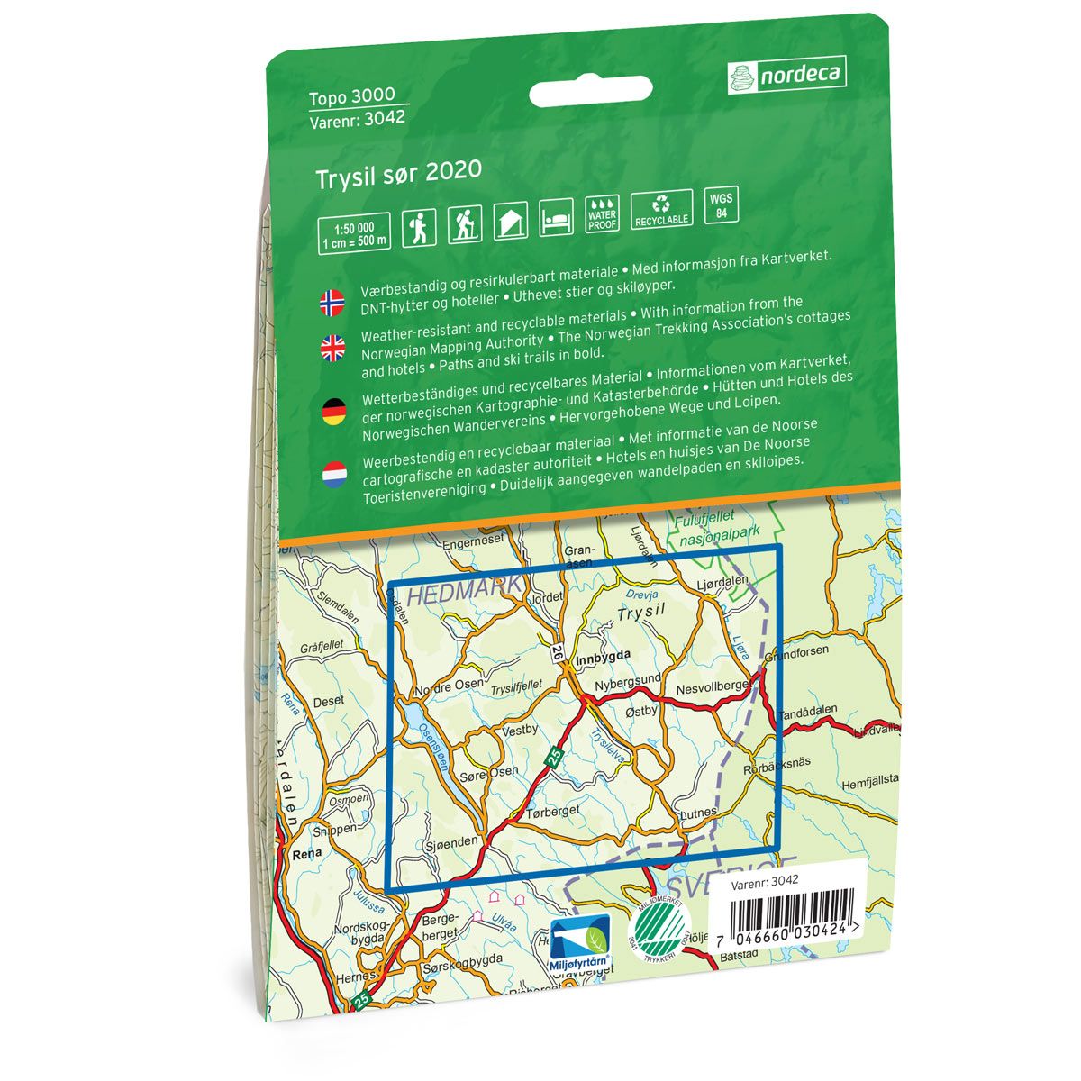

Trysil sør Topo 3000 Hiking map
Covers popular trekking areas with highlighted trekking information
- Scale 1:50 000 in water resistant material
€25.00
In stock
| Brand | Nordic Maps |
|---|---|
| SKU | 3042 |
| Map size | 70x100 cm |
| Scale | 1: 50 000 |
| Trails | Hiking trails |
| Updated | 2020 |
| Material | Plastic fiber |
| Map usage | Hiking, Cross Country |
| Accommodation | Serviced cabins, Unattended cabins, Self-catering cottages, hotels |
| Cabins in the map | Björnholmsstugan |
| Map both sides | Yes |
| Country | Norway |
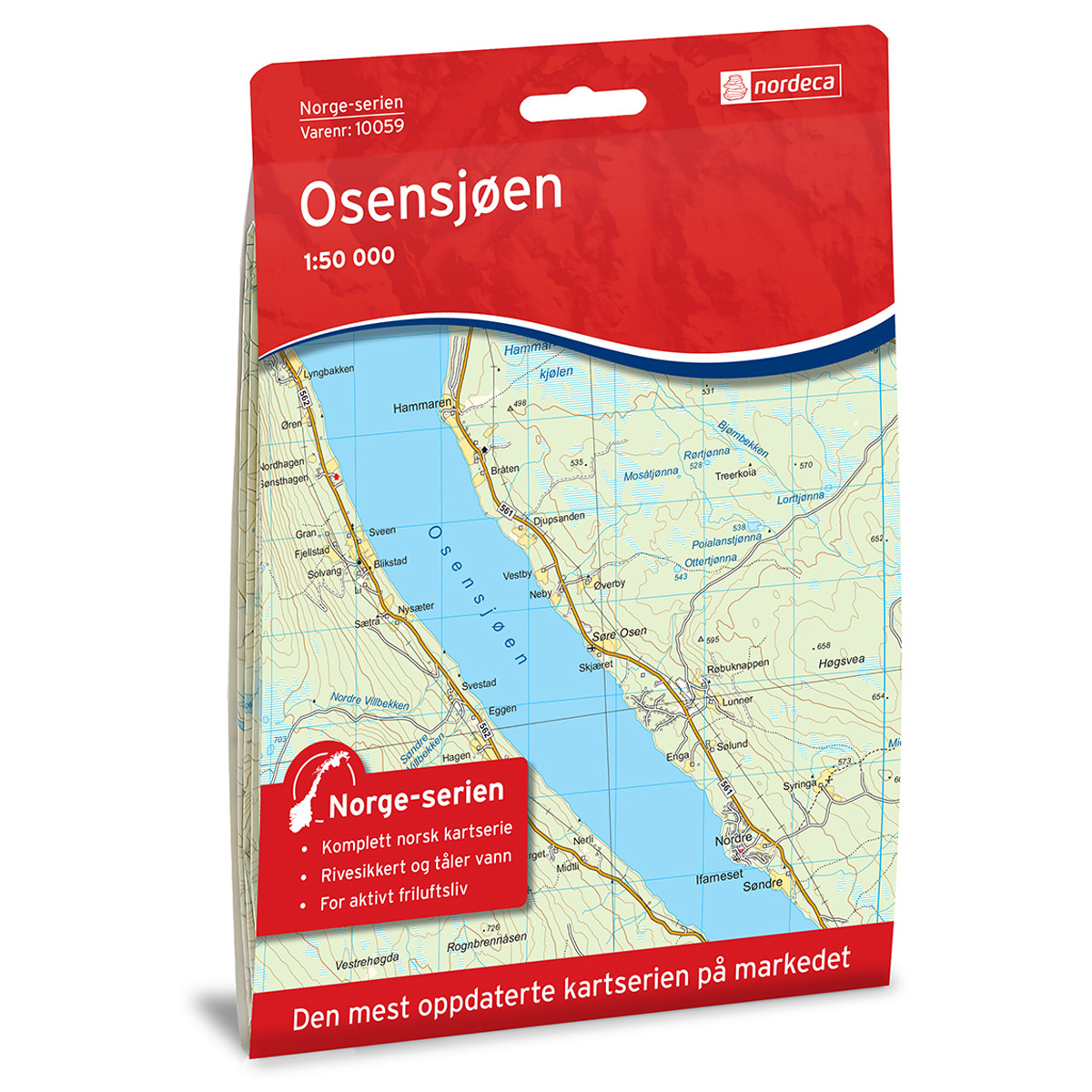
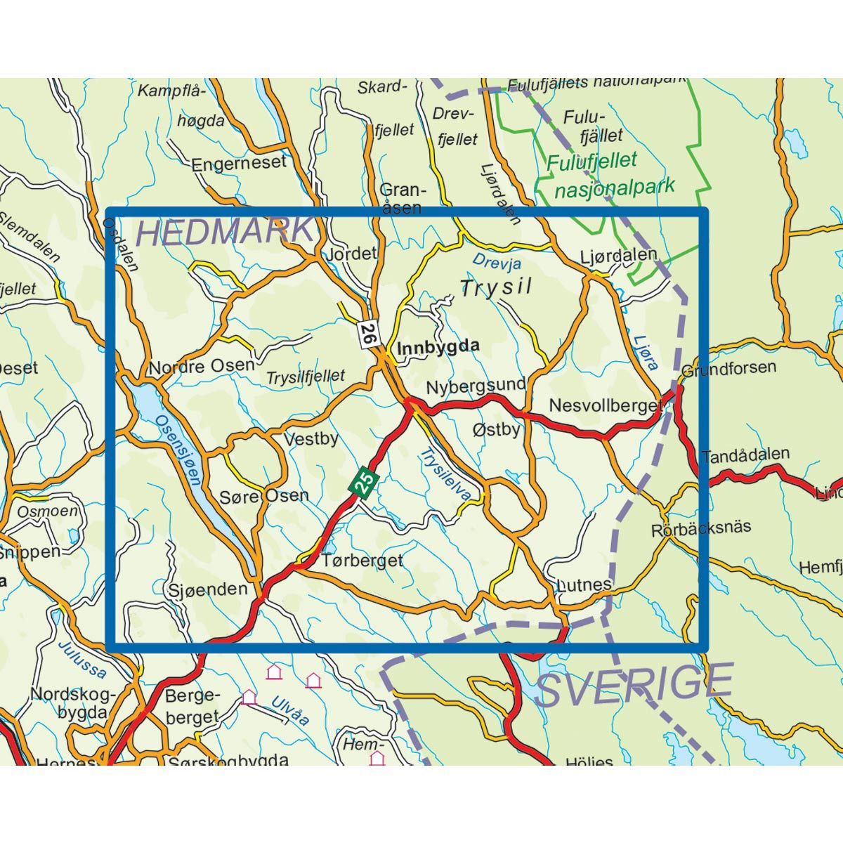
| Destinations | Trysilfjellet, Osensjøen, Ljørdalen |
| Format | Foldable |
| Language | Norwegian, English, German, Dutch |
| Series | Topo 3000 |
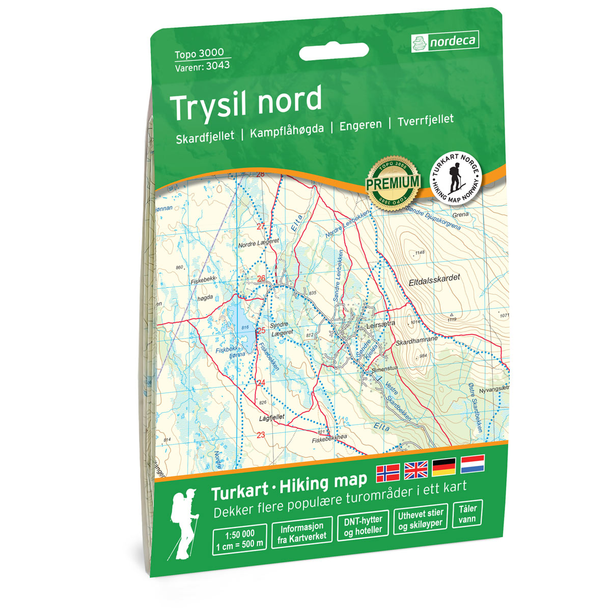
Topo 3000 is a detailed map covering over 3000 km2. The year-round destination Trysil with its varied mountain nature has a lot to offer the whole family. Here you can Try top hiking, fishing, canyoning, horseback riding, rafting and canoeing. The most popular hiking destination in Trysil is Trysilfjellet. If you are lucky, you can meet moose, deer or tire out on the trip. Through Trysil the Pilgrim trail also goes towards Nidaros. Here you will find trips such as: Trysilrypa 9 km, Over Grimåsen 6.1 km and Knertrunden 4.1 km.
Topo 3000
Topo 3000 is a detailed trail 1:50,000 scaled map with information from the Norwegian Mapping Authority. The map includes hiking trails, skiing trails and overnight accommodations. Trekking information is in bold type for better legibility. The trail map covers more than 3000 km2 and has been adapted to include several popular trekking areas.
The maps are printed on durable and weatherproof plastic fibre or paper material.
The series is continuously being updated to four different languages: Norwegian, English, German and Dutch.