
 Norway
  Deutsch
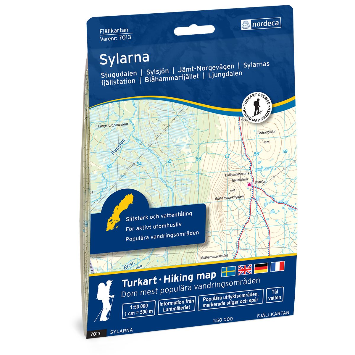
Sylarna Swedish hiking map
Covers popular hiking areas with highlighted hiking information
- The map covers Stugudalen, Ljungdalen, Neabyen
- Scale 1:50 000 in water resistant material
€25.00
In stock
| Brand | Nordic Maps |
|---|---|
| SKU | 7013 |
| Map size | 70x100 cm |
| Scale | 1: 50 000 |
| Trails | Hiking trails |
| Updated | 2021 |
| Material | Plastic fiber |
| Map usage | Hiking, Cross Country |
| Accommodation | Cabins |
| Map both sides | Yes |
| Country | Sweden |
| Destinations | Stugudalen, Ljungdalen, Storøvlingen, Løvøya, Neabyen, Ås, Stensdalen, Nyhemmen, |
| Format | Foldable |
| Language | English, German, Dutch, Swedish |
| Series | Swedish Mountain Map |
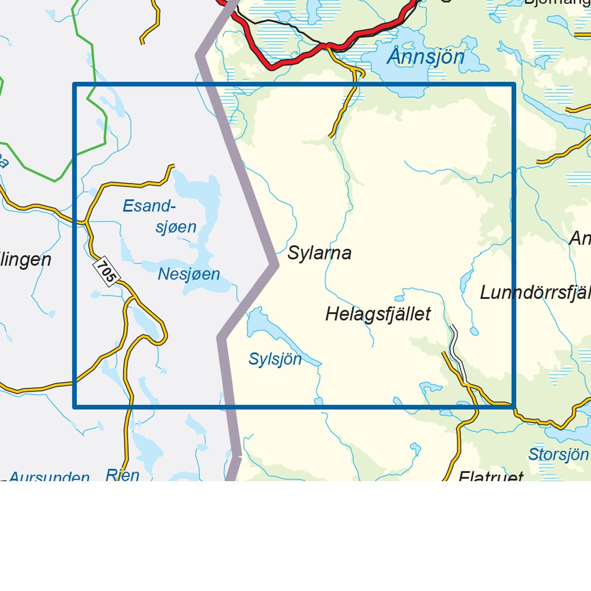
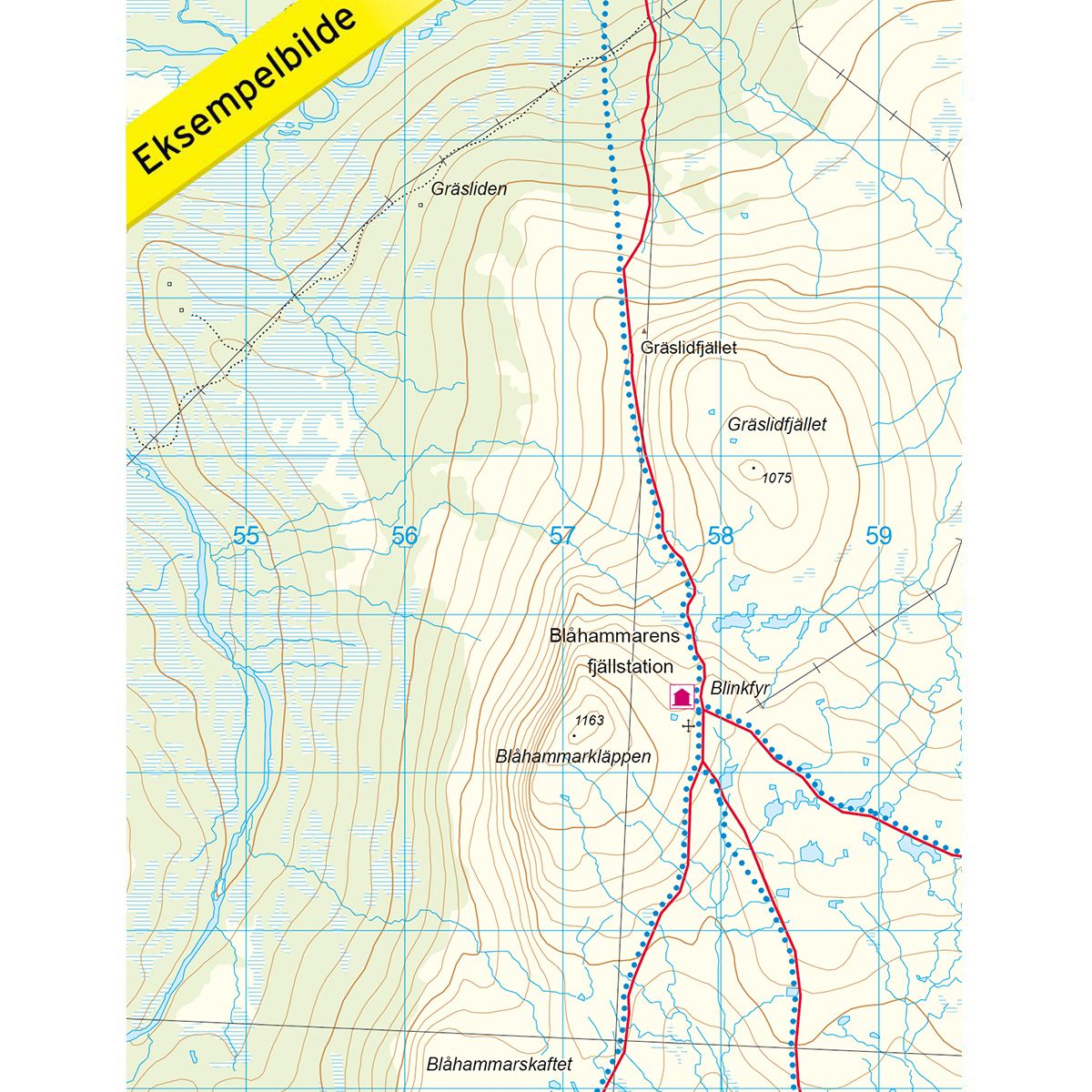
Mountain map Sylarna is a detailed map that covers more than 3000 km2. This includes trails, mountain lodges and cabins in the area, which are clearly marked on the map. The map covers Sylarna, on both the Norwegian and the Swedish side of the national border. This mountain region is almost unpopulated, with splendid natural beauty, well-marked hiking and skiing trails, and high mountain peaks. It also has numerous mountain cabins to visit. The peak trip up to Storsylen (1762 msl), is the most popular route in the area. The Nedal cabin in Tydal is a great starting point for this trip and many other fantastic mountain hikes and ski trips in the Syl massif. The map also covers the Blåhammaren mountain station, which is part of the classic hiking trail past the four visitor points in Sylarna. On this trail, you will pass the Nedal cabin, Sylarna mountain station, the Blåhammar mountain station, and finally Storerikvollen on the Norwegian side. The map also covers the Lungedalen region, southeast of Sylan. The place is a popular starting point for cross-country skiers. Mountain lodges and cabins are located on the map at the following sites: Nedal, Storerikvollen (Norwegian side), Sylarnas mountain station, Blåhammaren mountai station, Storulvåns mountain station, Stensdals, Gåsen, Vålå, Helags mountain station and Ljungdalen.
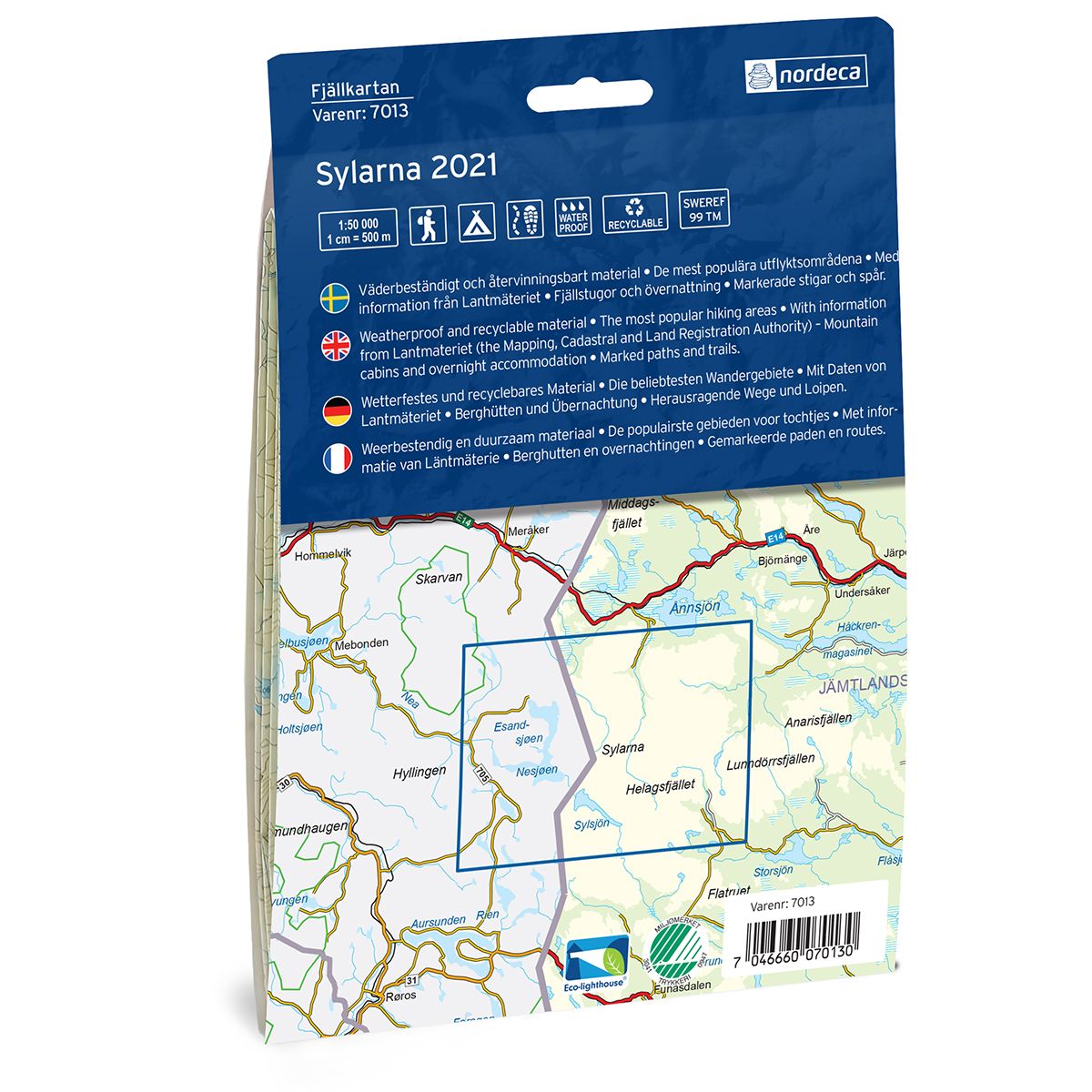
Swedish hiking maps is a hiking map series on a scale of 1:50 000 with information from Lantmäteriet and the Mapping Authority. The maps contain hiking trails, ski trails and accommodations. The tour information is highlighted for even better readability. The hiking map covers over 3000 km2 and is adapted so that it covers several popular hiking areas.
The series is available in four languages, Swedish, German, English and Dutch.
The maps are printed on durable and weather-resistant plastic fiber material
The series is available in four languages, Swedish, German, English and Dutch.
The maps are printed on durable and weather-resistant plastic fiber material