
 Norway
  Deutsch
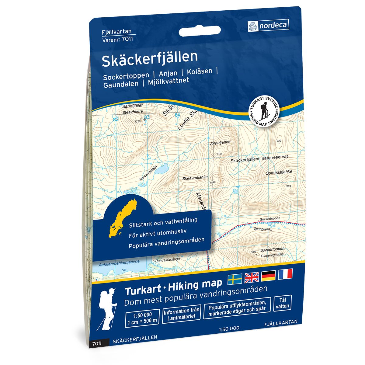
Skäckerfjällen Swedish hiking map
Covers popular hiking areas with highlighted hiking information
- The map covers Anjan, Kolåsen, Gaundalen
- Scale 1:50 000 in water resistant material
€25.00
In stock
| Brand | Nordic Maps |
|---|---|
| SKU | 7011 |
| Map size | 70x100 cm |
| Scale | 1: 50 000 |
| Trails | Hiking trails |
| Updated | 2021 |
| Material | Plastic fiber |
| Map usage | Hiking, Cross Country |
| Accommodation | Cabins |
| Map both sides | Yes |
| Country | Sweden |
| Destinations | Anjan, Kolåsen, Gaundalen, Kallsedet, |
| Format | Foldable |
| Language | English, German, Dutch, Swedish |
| Series | Swedish Mountain Map |
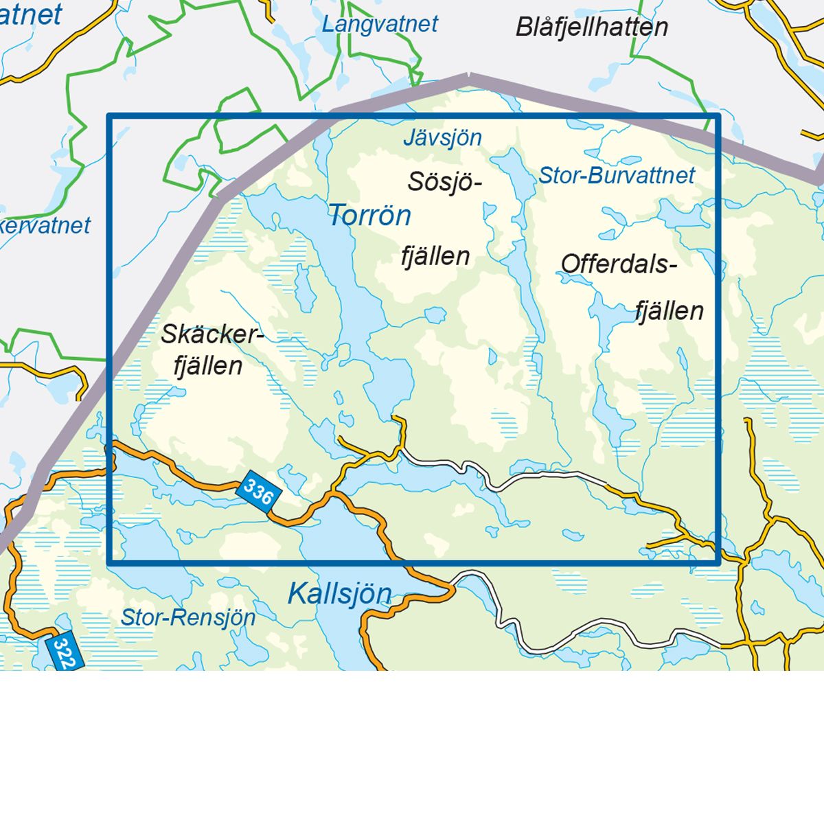
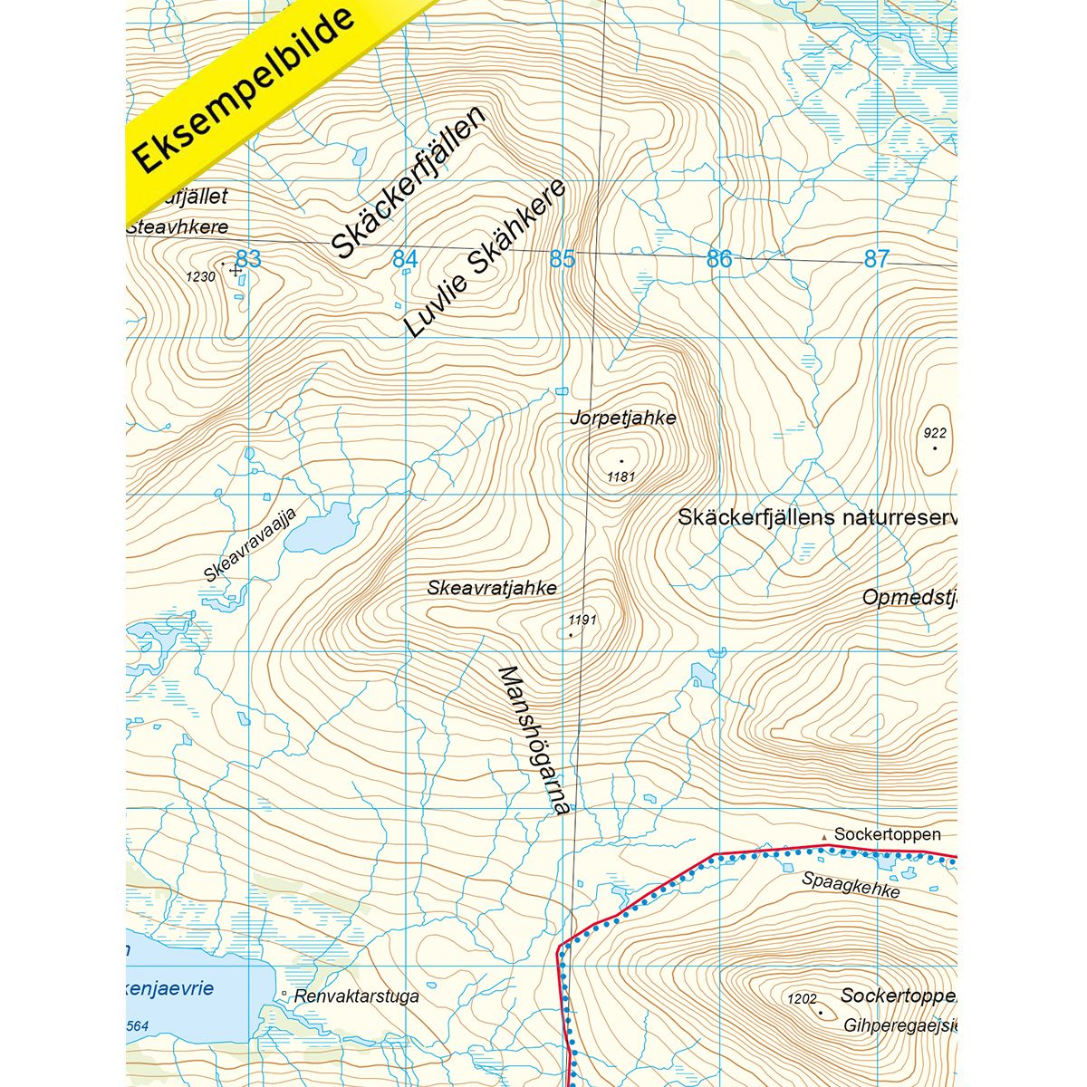
Mountain map Skäckerfjällen is a detailed map that covers more than 3000 km2. This includes trails, mountain lodges and cabins in the area, which are clearly marked on the map. The map covers the mountain massif Skäckerfjällen, from the Norwegian side of the border at Gaundalen to Stor-Stensjön Lake in the east. The map also covers several excellent hiking areas such as the Skäckerfjällen nature reserve, known for its hilly terrain, as well as Rutsdalen and Sockertoppen. The trail leading between Anjan mountain station and Kolåsen is a popular route. The trail is marked and is the perfect starting point for trips i the area. Mountain lodges and cabins are located on the map at the following sites: Anjan mountain station and Kolåsen mountain station.
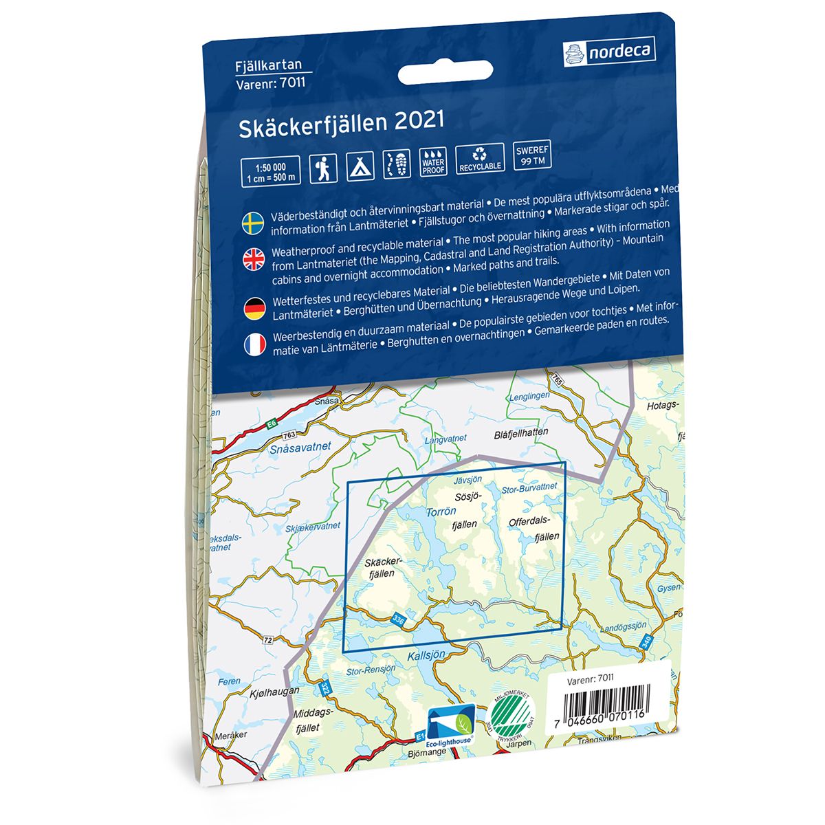
Swedish hiking maps is a hiking map series on a scale of 1:50 000 with information from Lantmäteriet and the Mapping Authority. The maps contain hiking trails, ski trails and accommodations. The tour information is highlighted for even better readability. The hiking map covers over 3000 km2 and is adapted so that it covers several popular hiking areas.
The series is available in four languages, Swedish, German, English and Dutch.
The maps are printed on durable and weather-resistant plastic fiber material
The series is available in four languages, Swedish, German, English and Dutch.
The maps are printed on durable and weather-resistant plastic fiber material