
 Norway
  Deutsch
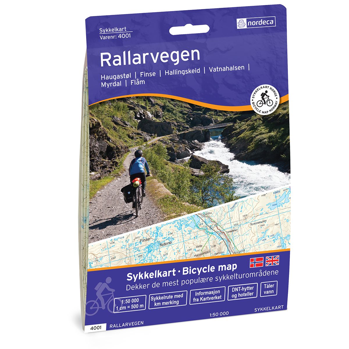
Rallarvegen bike map
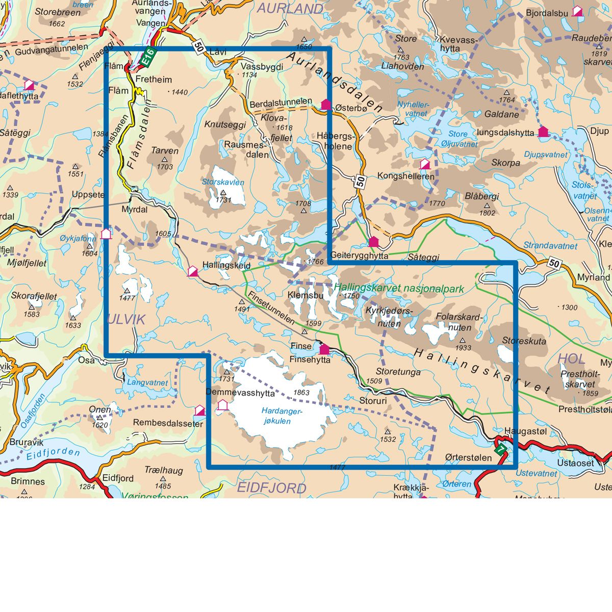
- The map covers Haugastøl, Finse, Hallingskeid, Vatnahalsen, Myrdal, Flåm
- Scale 1:50 000 in water resistant material
| Brand | Nordic Maps |
|---|---|
| SKU | 4001 |
| Map size | 70x100 cm |
| Scale | 1: 50 000 |
| Trails | Hiking trails |
| Updated | 2021 |
| Material | Plastic fiber |
| Map usage | Hiking |
| Accommodation | Serviced cabins, Unattended cabins, Self-catering cottages, hotels |
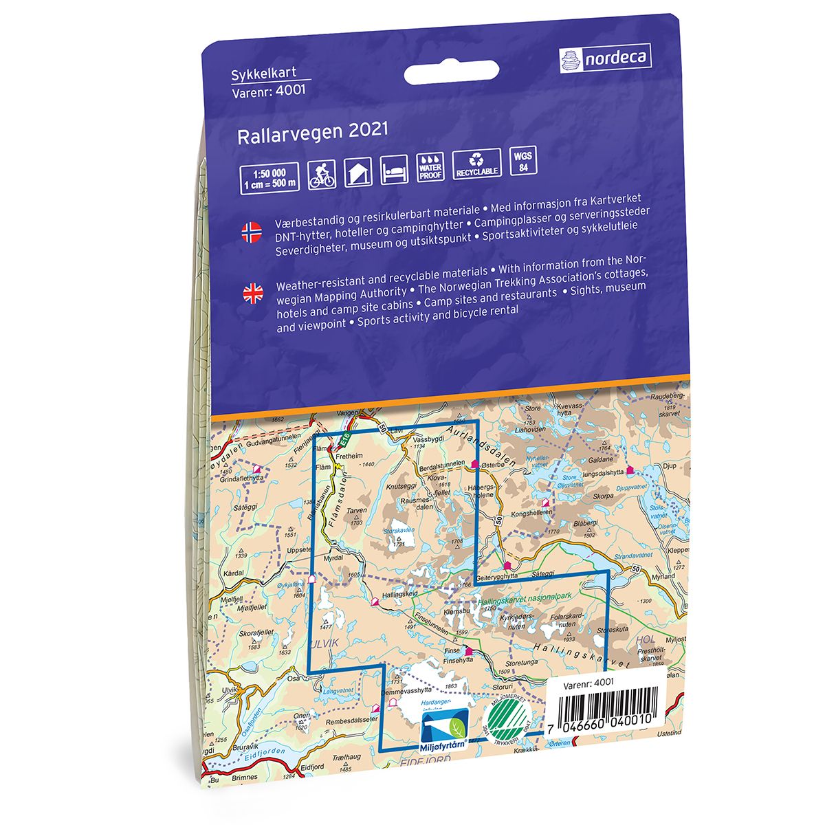
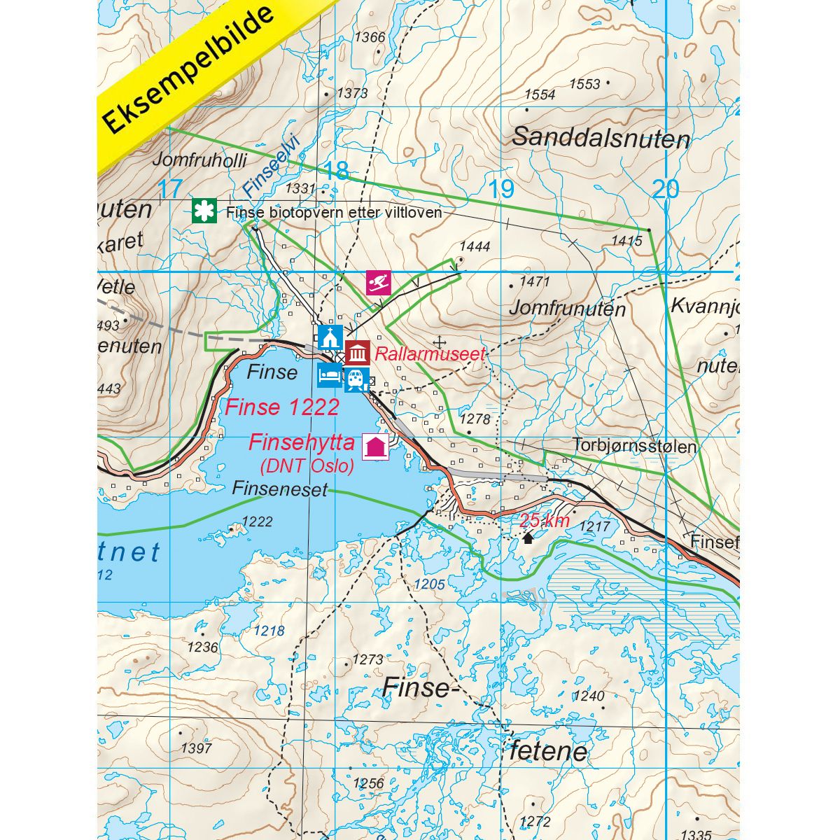
| Cabins in the map | Demmevasshytta, Jøkulhytta, Appelsinhytta, Finsehytta, Haugastøl, Østerbø fjellstove, Aurlandsdalen turisthytte, Vatnahalsen høyfjellshotell, Myrdal fjellstove, Kaldavasshytta, Hallingskeid. |
| Map both sides | No |
| Country | Norway |
| Destinations | Finse, Vassbygdi, Aurlandsdalen, Flåm, Myrdal, Hallingskeid, Haugastøl, Vikastølen. |
| Format | Foldable |
| Language | Norwegian, English |
| Series | Bicycle maps |
Bicycle maps is a map series in 1:50 000 which is suitable for bicycle trips with information from the Mapping Authority. In addition to covering Rallarvegen, there is also information on the map that shows cabins, campsites, sights in the area and opportunities for bike rental and other sports activities. Rallarvegen has several times been named Norway's most beautiful cycle path, starting at Haugastøl, via Finse, Hallingskeid and Myrdal, before continuing along the Flåm line down to beautiful Flåm. Here there is fantastic nature to experience on the road that takes you through a fantastic high mountain area up to over 1300m and down to Flåm at sea level. At Flåm you will find all services and the place is a perfect starting point for further travel. Examples of cabins on the map: Demmevasshytta, Jøkulhytta, Appelsinhytta, Finsehytta, Haugastøl, Østerbø fjellstove, Aurlandsdalen turisthytte, Vatnahalsen høyfjellshotell, Myrdal fjellstove, Kaldavasshytta, Hallingskeid.