
 Norway
  Deutsch
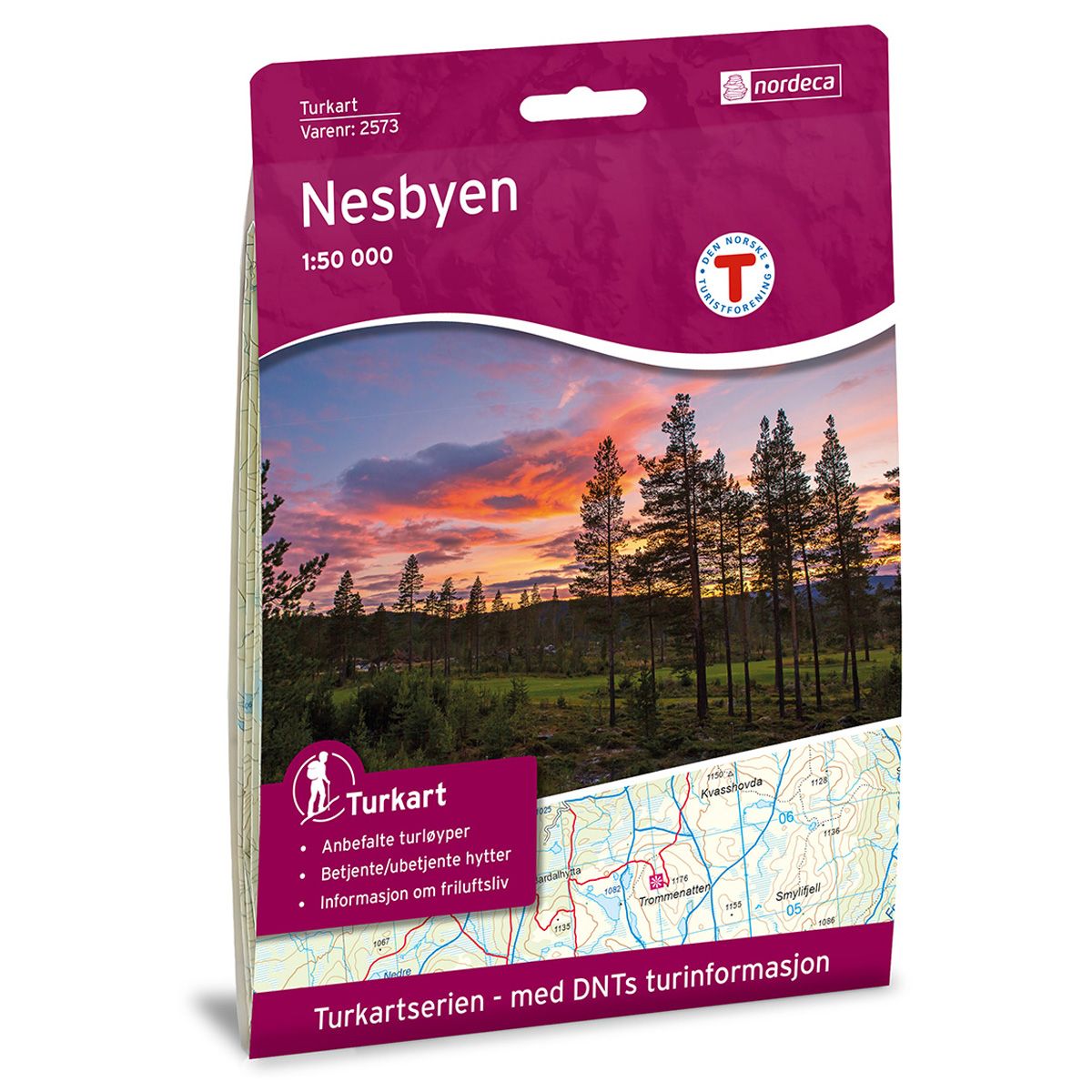
Nesbyen DNT hiking map
Map with Norwegian Trekking Association information about trails and cabins.
- The map covers Gol, Hallingdal, Nesbyen, Rukkedalen og Vassfaret
- Scale 1:50 000 in water resistant material
€24.00
In stock

| Brand | Nordic Maps |
|---|---|
| SKU | 2573 |
| Map size | 70x100 cm |
| Scale | 1: 50 000 |
| Trails | Hiking trails |
| Updated | 2018 |
| Material | Plastic fiber |
| Map usage | Hiking, Cross Country |
| Accommodation | Serviced cabins, Unattended cabins, Self-catering cottages, hotels |
| EAN | 7046660025734 |
| Partner | The Norwegian Trekking Association |
| Map both sides | No |
| Country | Norway |
| Destinations | Gol, Hallingdal, Hallingdalselve, Nesbyen, Rukkedalen, Tunhovdfjorden, Vassfaret |
| Format | Foldable |
| Language | Norwegian, English |
| Series | Hiking maps |
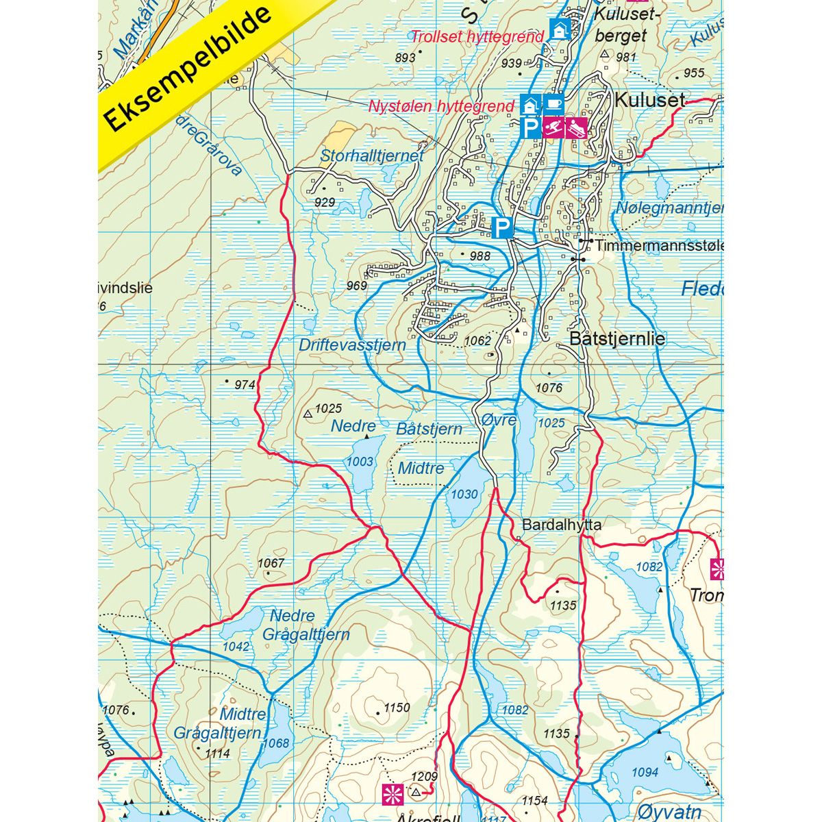
The map covers the mountain region toward the west to Dyna and toward the east to Vassfaret, with Nesbyen and Rukkedalen in the centre. Gol borders the map to the north, with Tunhovdfjorden in the south. Here you will find a broad range of trekking opportunities in both summer and winter.
DNT hiking maps
This map series was developed in cooperation with The Norwegian Trekking Association (DNT) and contains DNT trails, cabins and other useful trekking information. A few of the maps also have ski trails.
The DNT maps are published in three different scales (levels of detail).
1:25 000 for more defined and detailed information. Suitable for shorter treks.
1:50 000 is the optimal scale for treks.
1:100 000 offers a good overview of larger areas and is useful when planning trips.
The maps are printed on durable and weatherproof plastic fibre or paper material.
Language: Norwegian and English