
 Norway
  Deutsch
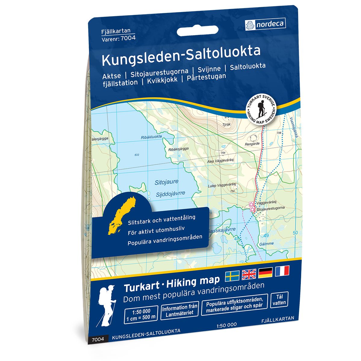
Kungsleden-Saltoluokta Swedish hiking map
Covers popular hiking areas with highlighted hiking information
- The map covers Kvikkjokk, Saltoluokta, Årrenjarka
- Scale 1:50 000 in water resistant material
€25.00
In stock
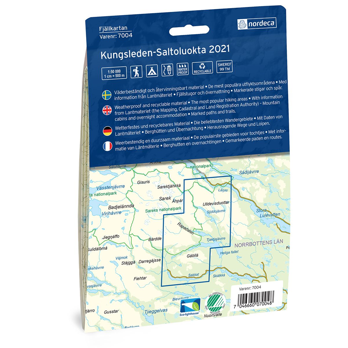
| Brand | Nordic Maps |
|---|---|
| SKU | 7004 |
| Map size | 70x100 cm |
| Scale | 1: 50 000 |
| Trails | Hiking trails |
| Updated | 2021 |
| Material | Plastic fiber |
| Map usage | Hiking, Cross Country |
| Accommodation | Cabins |
| Map both sides | Yes |
| Country | Sweden |
| Destinations | Aktse, Svijnne, Kvikkjokk, V Kirjaluokta, Saltoluokta, Kebnats, Årrenjarka, Uhtsaluokta, Njavve, Laitaure, |
| Format | Foldable |
| Language | English, German, Dutch, Swedish |
| Series | Swedish Mountain Map |
Mountain map Kungsleden – Saltuluokta is a detailed map that covers more than 3000 km2. This includes trails, mountain lodges and cabins in the area, which are clearly marked on the map. The map covers the Kungsleden Trail between Saltoluokta mountain station and Kvikkjokk, southward by the rest area at Mallenjarka, and through parts of the Pärlälven mountain forest nature reserve. This area has untouched old-growth forests, mountain peaks and small lakes. Along the Kungsleden Trail there are several mountain lodges and cabins where visitors can stay and enjoy the mountains. Mountain lodges and cabins are located on the map at the following sites: Årrenjarka, Kvikkjokk mountain station, Pårte, Aktse, Sitojaure and Saltoluokta mountain station.
Swedish hiking maps is a hiking map series on a scale of 1:50 000 with information from Lantmäteriet and the Mapping Authority. The maps contain hiking trails, ski trails and accommodations. The tour information is highlighted for even better readability. The hiking map covers over 3000 km2 and is adapted so that it covers several popular hiking areas.
The series is available in four languages, Swedish, German, English and Dutch.
The maps are printed on durable and weather-resistant plastic fiber material
The series is available in four languages, Swedish, German, English and Dutch.
The maps are printed on durable and weather-resistant plastic fiber material