
 Norway
  Deutsch
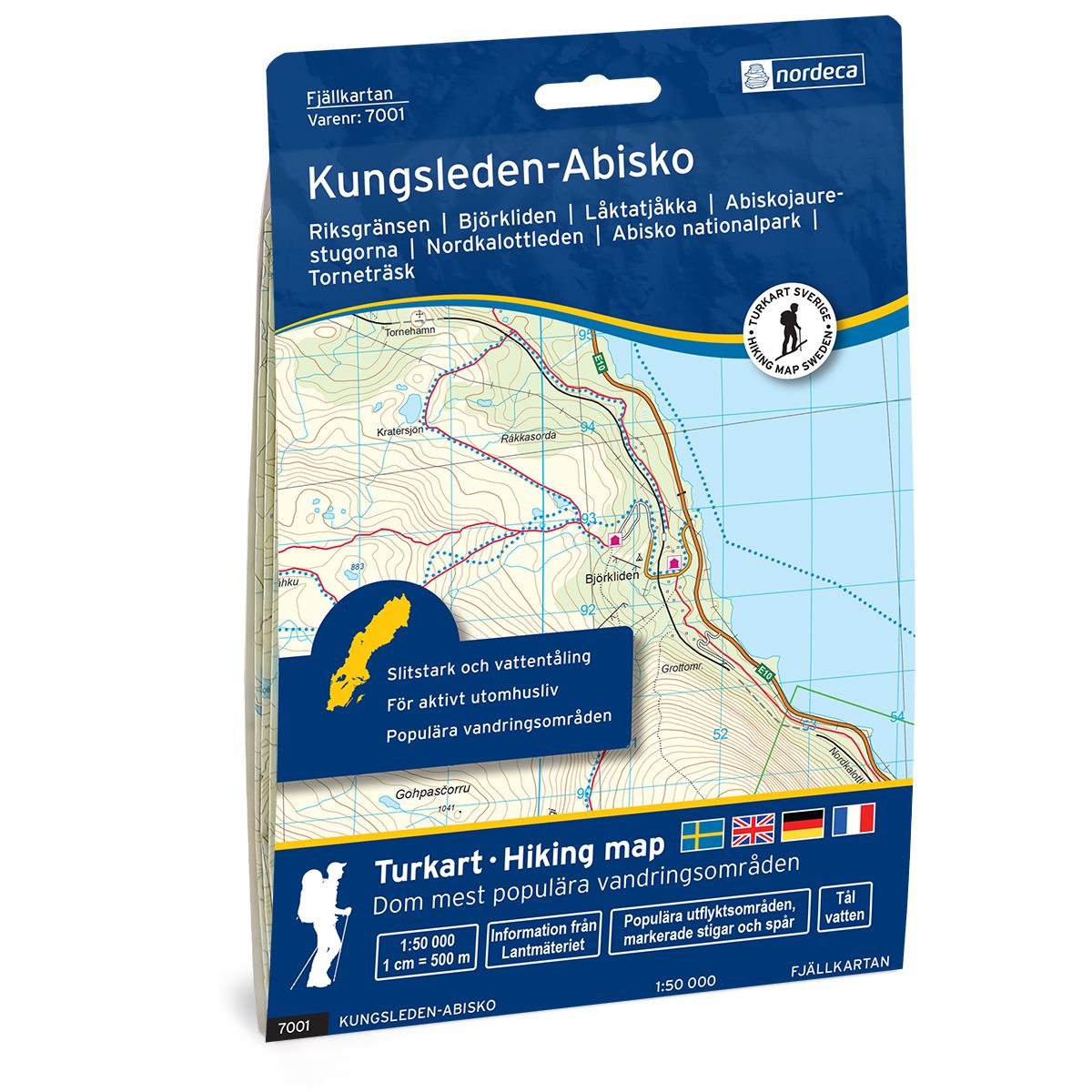
Kungsleden-Abisko Swedish hiking map
Covers popular hiking areas with highlighted hiking information
- The map covers Björkliden, Abisko, Riksgränsen
- Scale 1:50 000 in water resistant material
€25.00
In stock
| Brand | Nordic Maps |
|---|---|
| SKU | 7001 |
| Map size | 70x100 cm |
| Scale | 1: 50 000 |
| Trails | Hiking trails |
| Updated | 2021 |
| Material | Plastic fiber |
| Map usage | Hiking, Cross Country |
| Accommodation | Cabins |
| Map both sides | Yes |
| Country | Sweden |
| Destinations | Björkliden, Abisko, Kaisepakte, Stordalen, Riksgränsen, Katterjåkk, Tornehamn, Alisjávri, Låktatjåkka |
| Format | Foldable |
| Language | English, German, Dutch, Swedish |
| Series | Swedish Mountain Map |
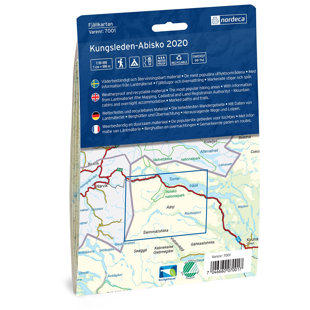
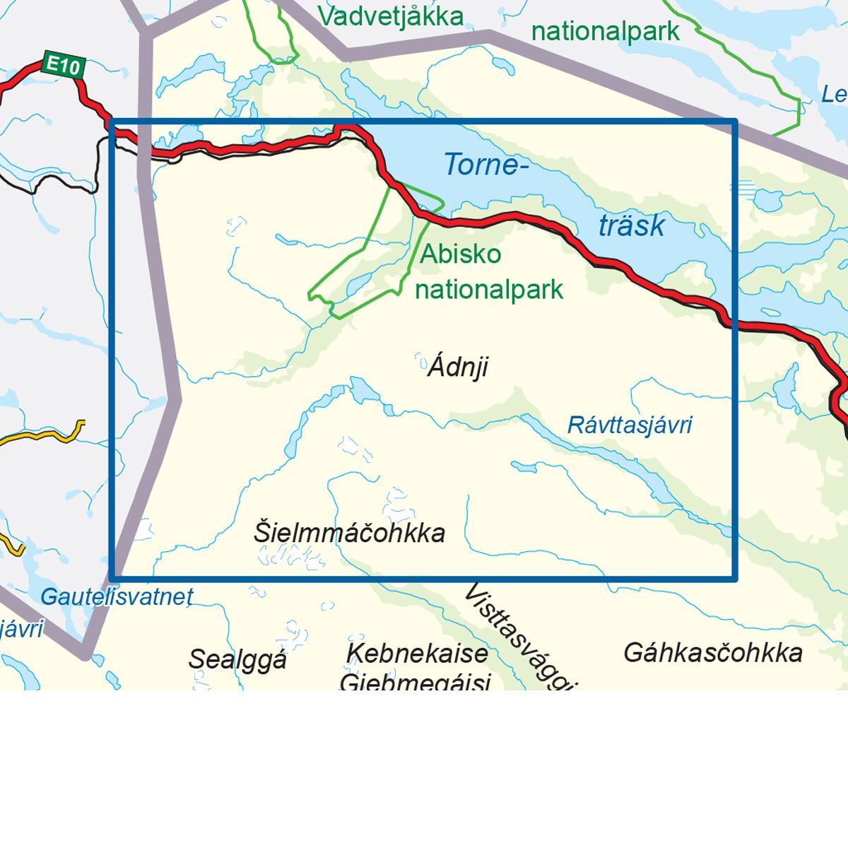
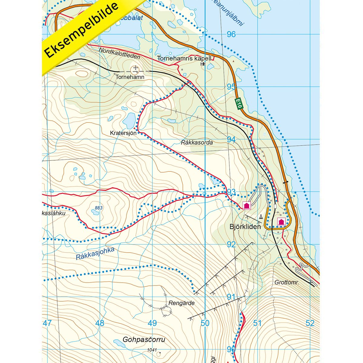
Mountain map Kungsleden – Abisko is a detailed map that covers more than 3000 km2. This includes trails, mountain lodges and cabins in the area, which are clearly marked on the map. The map covers the northernmost part of the Kungsleden Trail, from Tjäktja mountain cabin in the south to the Abisko tourist station in the north. The map also covers the mountain region between Abisko and the National Border, and the Nordkalott Trail near the Unna Allakas mountain cabin, only 2 km from the Norwegian border. The map also covers Lake Troneträsk, which is a popular area for sports fishing and ice fishing. Mountain lodges and cabins are located on the map at the following sites: Tjäktja, Alesjaure, Unna Allakas, Låktatjåkka and the Abisko mountain station. The Cunojávri cabin is located on the Norwegian side of the border.
Swedish hiking maps is a hiking map series on a scale of 1:50 000 with information from Lantmäteriet and the Mapping Authority. The maps contain hiking trails, ski trails and accommodations. The tour information is highlighted for even better readability. The hiking map covers over 3000 km2 and is adapted so that it covers several popular hiking areas.
The series is available in four languages, Swedish, German, English and Dutch.
The maps are printed on durable and weather-resistant plastic fiber material
The series is available in four languages, Swedish, German, English and Dutch.
The maps are printed on durable and weather-resistant plastic fiber material