
 Norway
  Deutsch
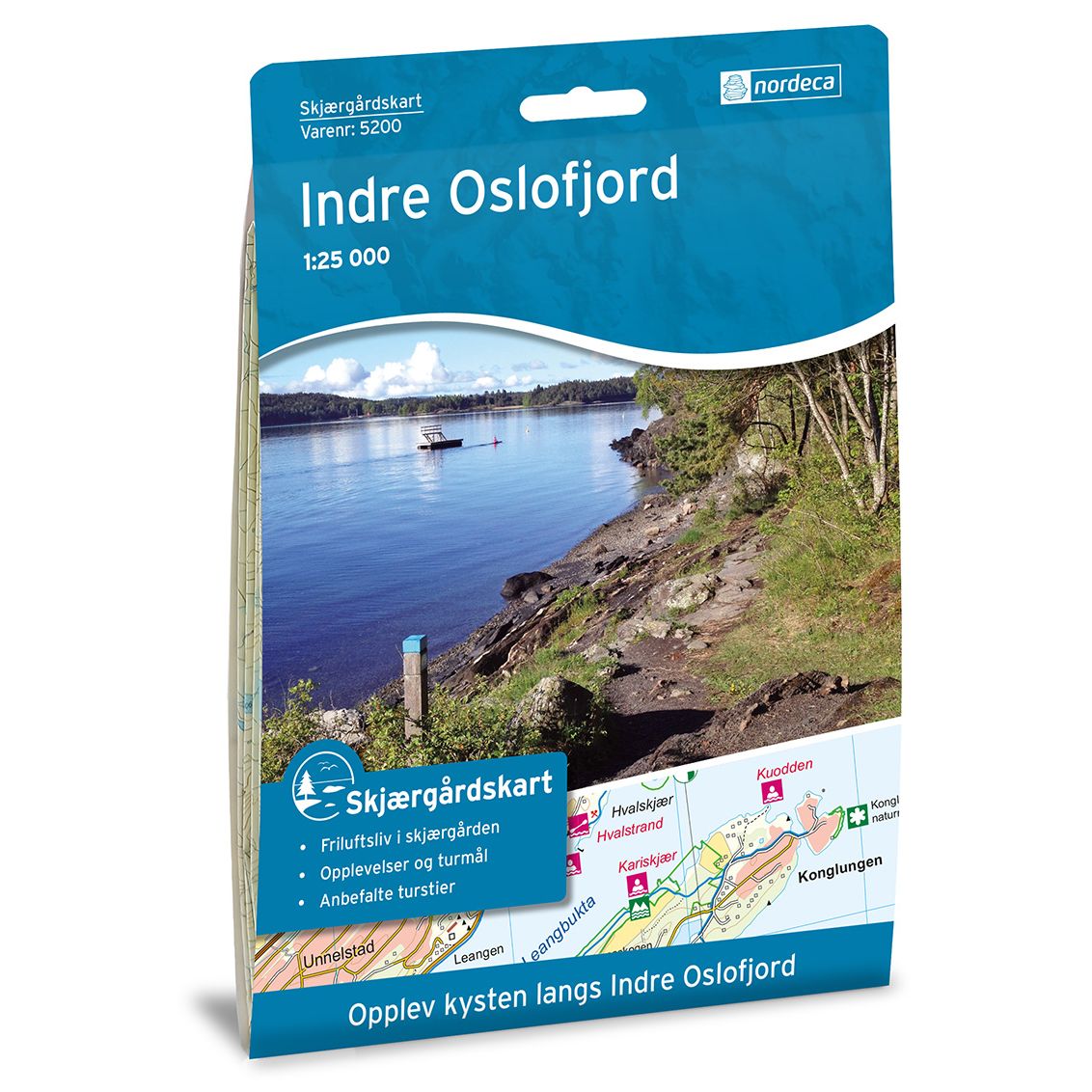
Coastal maps Indre Oslofjord
Coastal map for paddlers, fishermen and hikers.
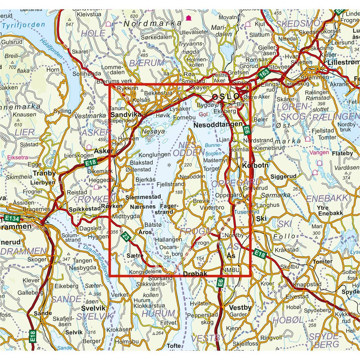
- The map covers Akershus, Asker, Kolbotn, Nesoddtangen, Oslo og Sandvika
€23.00
In stock

| Brand | Nordic Maps |
|---|---|
| SKU | 5200 |
| Map size | 70x100 cm |
| Scale | 1: 25 000 |
| Trails | coastal Trails |
| Updated | 2015 |
| Material | Plastic fiber |
| Map usage | Hiking, Paddling |
| Accommodation | Sea Cabins |
| EAN | 7046660052006 |
| Cabins in the map | Tiern, Langøyene, Bestemorstua, Rødstua, Kjeholmen, Ytre Vassholmen, Butikken, Fyrsteilene, Vestli, Ommen/Veslestua, Søndre Langåra tåkeklokke, Badstua, Eldhuset, Gamlegården, Båthuset, Jacobinebua, Bergholmen, Fiskerhytta |
| Map both sides | No |
| Country | Norway |
| Destinations | Akershus, Asker, Kolbotn, Nesoddtangen, Oslo, Sandvika, Sætre, Ås |
| Format | Foldable |
| Language | Norwegian |
| Series | Coastal maps |
The Coastal Map provides an overview of all coastal outdoor activities and experiences. You can find information regarding the Coastal Trails and the Kystledhyttene (Coastal cabins), destinations, areas adapted for outdoor recreation, campgrounds, services and public transport along the coast. The map is ideal for hiking, walking, cycling, paddling, fishing, swimming and diving. The Oslo islands are a frequently visited group of six small islands in the innermost part of the fjord. The Oslo ferries will take you quickly and efficiently out to Hovedøya, Gressholmen, Langøyene, Bleikøya, Lindøya and Nakholmen.
Overnight accommodations in the Oslo Fjord: 30 accommodations are accessible to the public. 11 of the cabins are on the mainland, while the remaining cabins are located on islands of various sizes. These are often equipped with rowboats, so you don't need your own boat to use the cabins. Island hopping in Oslo Fjord: Take a shuttle boat to the islands in Oslo Fjord. The route network for the boats extends from Aker Brygge to Fornebu, Nesodden, Vollen, Slemmestad and several of the islands in Oslo Fjord. You can download timetables and routes for all the boats in Oslo and Akershus at ruter.no.
Coastal maps
The Coastal maps are detailed maps at a scale of 1:25,000 for coastal recreational activities and experiences. Here you can find information about hiking trails, coastal paths, cabins, overnight accommodations and swimming areas. It also includes information about public transport along the coast. The maps are ideal for hiking, cycling, paddling and kayaking.
The maps are printed on durable and weatherproof plastic fibre or paper material.
Language: Norwegian and English