
 Norway
  Deutsch
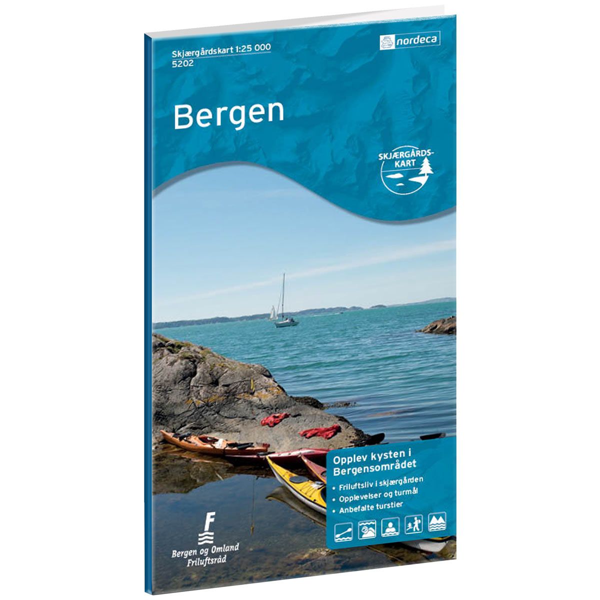
Coastal maps Bergen
Coastal map for paddlers, fishermen and hikers.
€23.00
In stock
| Brand | Nordic Maps |
|---|---|
| SKU | 5202 |
| Map size | 70x100 cm |
| Scale | 1: 25 000 |
| Trails | coastal Trails |
| Updated | 2016 |
| Material | Plastic fiber |
| Map usage | Hiking, Paddling |
| Accommodation | Sea Cabins |
| EAN | 7046660052020 |
| Cabins in the map | Friluftshuset i Kållevåg, Våganeset, Barholmen, Sandholna |
| Map both sides | No |
| Country | Norway |
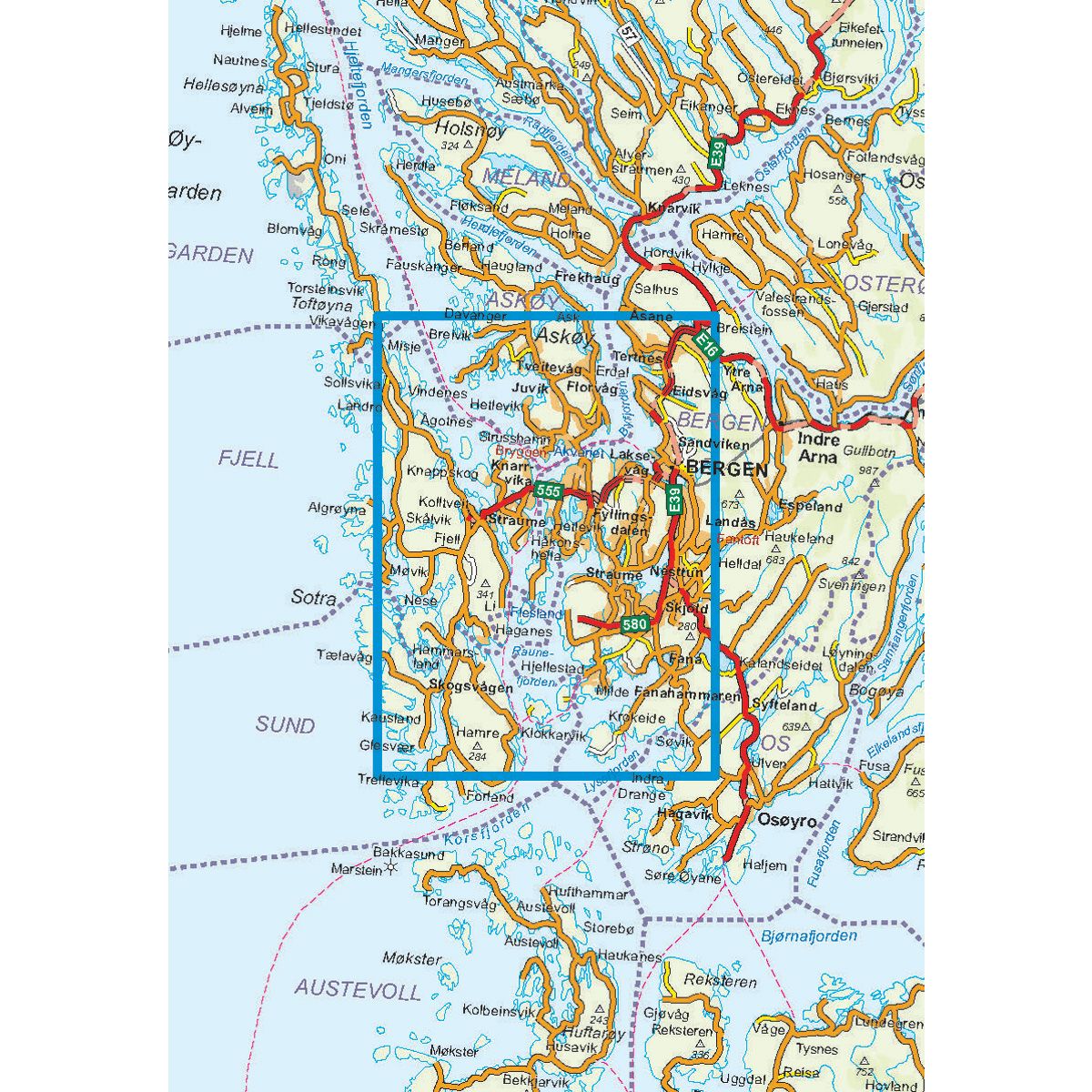
| Destinations | Askøyna, Bergen, Flesland, Hordaland, Kleppestø, Nesttun, Sotra |
| Format | Foldable |
| Language | Norwegian |
| Series | Coastal maps |
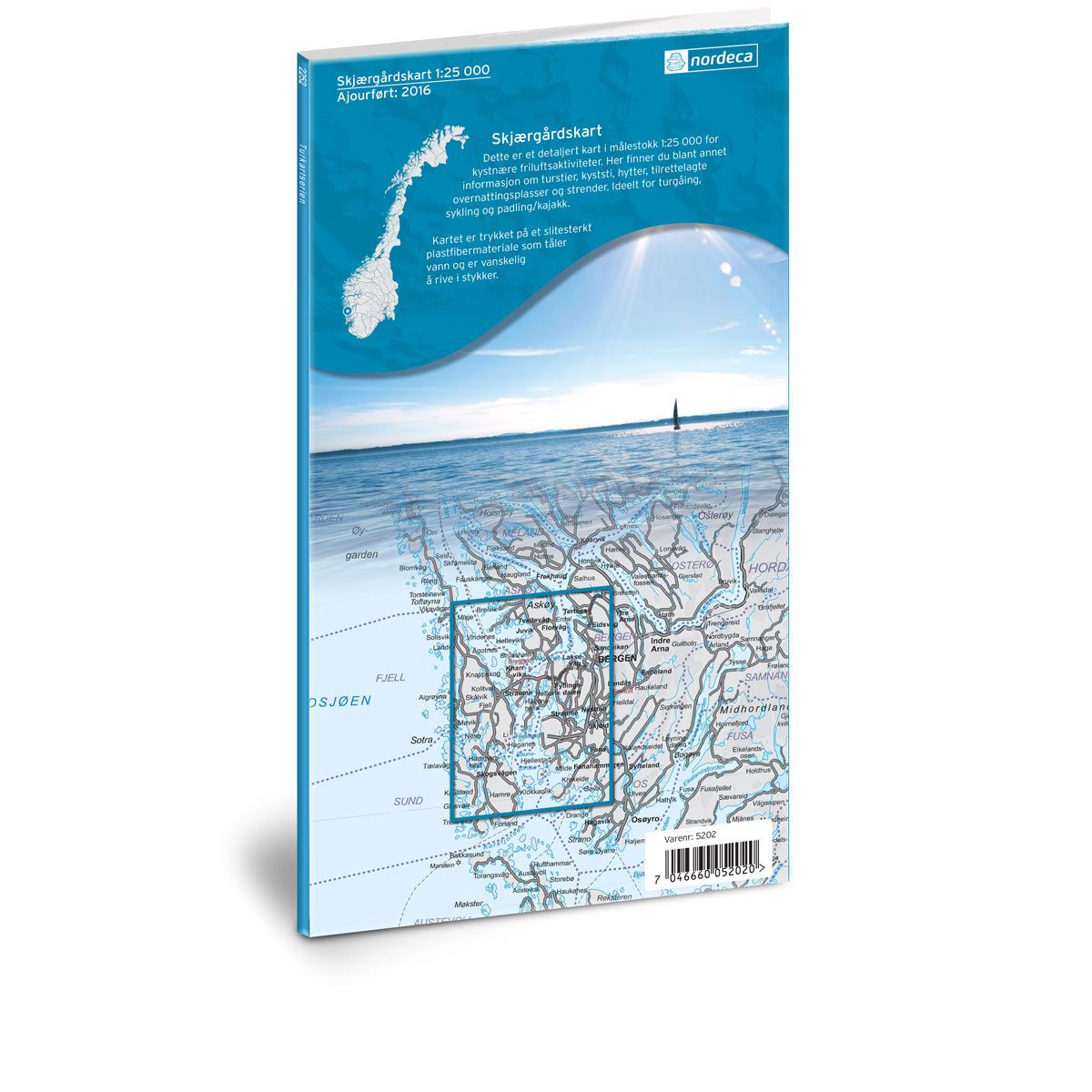
Skjærgårdskartet (The Coastal Map) is a map containing all outdoor activities along the coast. You can find information regarding the Coastal Trails and the Kystledhyttene (Coastal cabins), destinations, areas adapted for outdoor recreation, campgrounds, services and public transport along the coast. The map is ideal for hiking, walking, cycling, paddling, fishing, swimming and diving. The coastal area of Hordaland is perhaps the most varied in Norway. Here you will find smooth sloping rocks, green wooded islands, and fjords that stretch inward toward the mountains, glaciers and mountain plateaus. Many of the areas are good starting points for treks along the coastal paths, or for paddling a canoe or kayak. A few areas also have “gapahuk” (lean-to shelters), climbing walls and obstacle courses. You can find spots suitable for fishing from land, for camping or for anchoring a boat. Geocaches have been placed in many of the recreational areas. Nordsjøløypa - the North Sea Trail is the name of a network of trekking routes in 26 Norwegian, Swedish, Danish, German, Dutch, English and Scottish regions. This comprises more than 5000 km of trails. A number of newer and older trails along the North Sea coast are included in the network. The most popular cabins include Kollevåg on Askøy, Sandholna in Bergen, Skageneset on Radøy and Horgo in Austevoll. The Kystledhyttene (Coastal cabins) can be rented for up to one week during the season, from May to September.
Coastal maps
The Coastal maps are detailed maps at a scale of 1:25,000 for coastal recreational activities and experiences. Here you can find information about hiking trails, coastal paths, cabins, overnight accommodations and swimming areas. It also includes information about public transport along the coast. The maps are ideal for hiking, cycling, paddling and kayaking.
The maps are printed on durable and weatherproof plastic fibre or paper material.
Language: Norwegian and English