Norway
  Deutsch
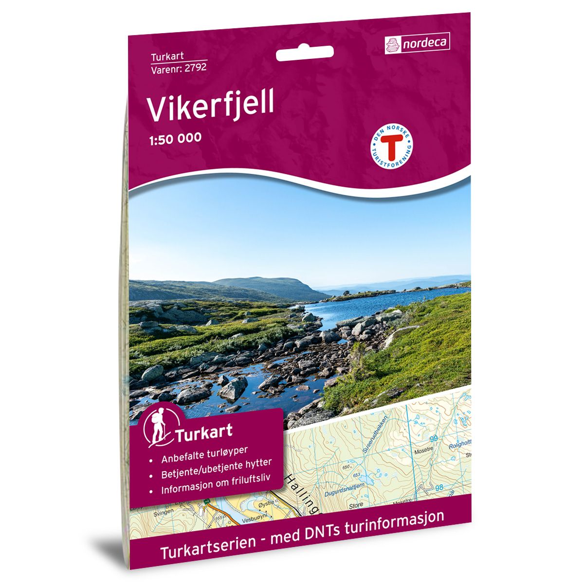

Vikerfjell DNT hiking map
Map with Norwegian Trekking Association information about trails and cabins.
- The map covers Vikerfjell
- Scale 1:50 000 in water resistant material
€24.00
In stock
| Brand | Nordic Maps |
|---|---|
| SKU | 2792 |
| Map size | 70x100 cm |
| Scale | 1: 50 000 |
| Trails | Hiking trails |
| Updated | 2022 |
| Material | Plastic fiber |
| Map usage | Hiking |
| Accommodation | Serviced cabins, Unattended cabins, Self-catering cottages, hotels |
| Partner | The Norwegian Trekking Association |
| Map both sides | No |
| Country | Norway |
| Format | Foldable |
| Language | Norwegian, English |
| Series | Hiking maps |
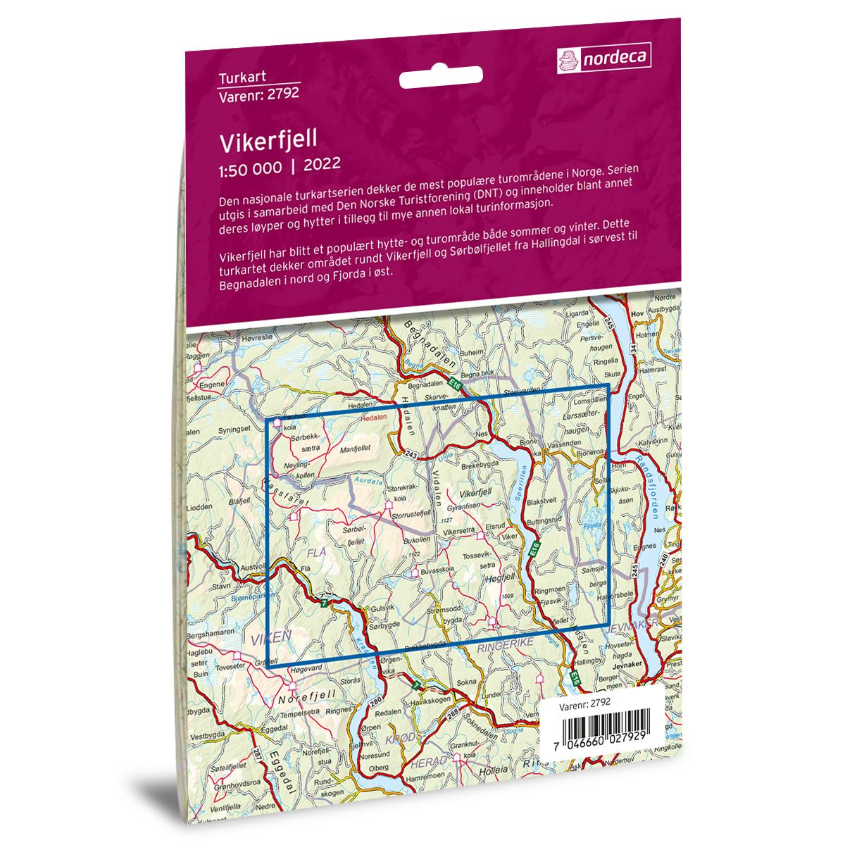
The national hiking map series covers the most popular hiking areas in Norway. The series is published in collaboration with the Norwegian Tourist Association (DNT) and contains, among other things, their trails and cabins in addition to other local tourist information.
Vikerfjell has become a popular cabin and hiking area both in summer and winter. This hiking map covers the area around Vikerfjell and Sørbølfjellet from Hallingdal in the southwest to Begnadalen in the north and Fjorda in the east.