
 Norway
  Deutsch
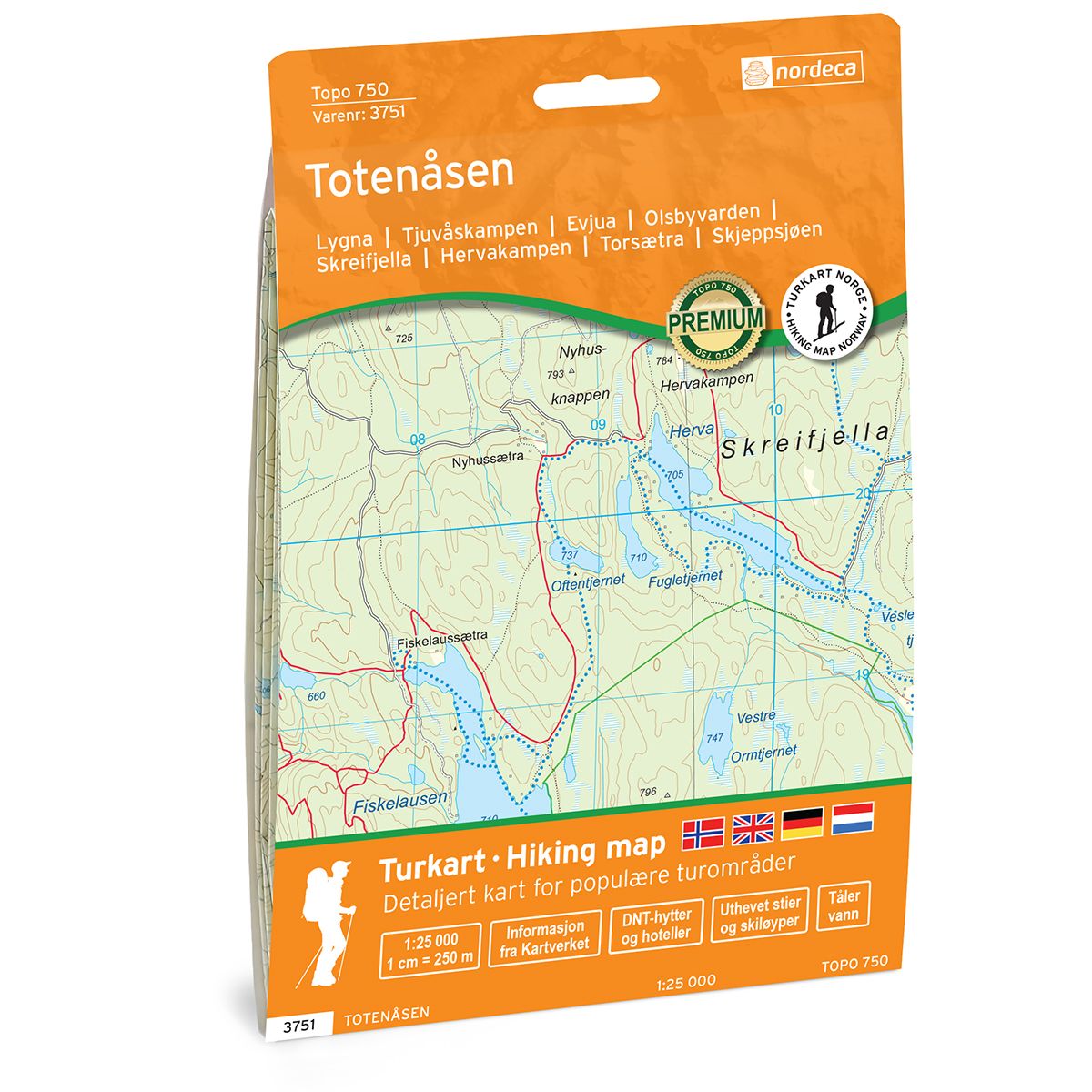
Totenåsen Topo 750 hiking map
- The map covers Lygna, Tjuvåskampen, Evjua, Olsbyvarden, Skreifjella, Hervakampen, Torsætra, Skjeppsjøen
- Scale 1:25 000 in water resistant material
| Brand | Nordic Maps |
|---|---|
| SKU | 3751 |
| Map size | 70x100 cm |
| Scale | 1: 25 000 |
| Trails | Hiking trails |
| Updated | 2021 |
| Material | Plastic fiber |
| Map usage | Hiking, Cross Country |
| Accommodation | Serviced cabins, Unattended cabins, Self-catering cottages, hotels |
| Cabins in the map | Vesterås, Gamle Torsætra og Vollumssætra(ubetjente) |
| Map both sides | Yes |
| Country | Norway |
| Destinations | Lygna, Gammelsætra, Lundberg, Nordenga, Teiterud, Tandsæter, Mjørlund, Bråstad, Øverskreia, Rønningsby, Stange, Fossenfeltet, Lensbygda, Kolbu, Narum, Opperudholtet, Hagaholtet, Hurdal,Garsjøen, Mjøsa, Totenvika, Skreia. |
| Format | Foldable |
| Language | Norwegian, English |
| Series | Topo 750 |
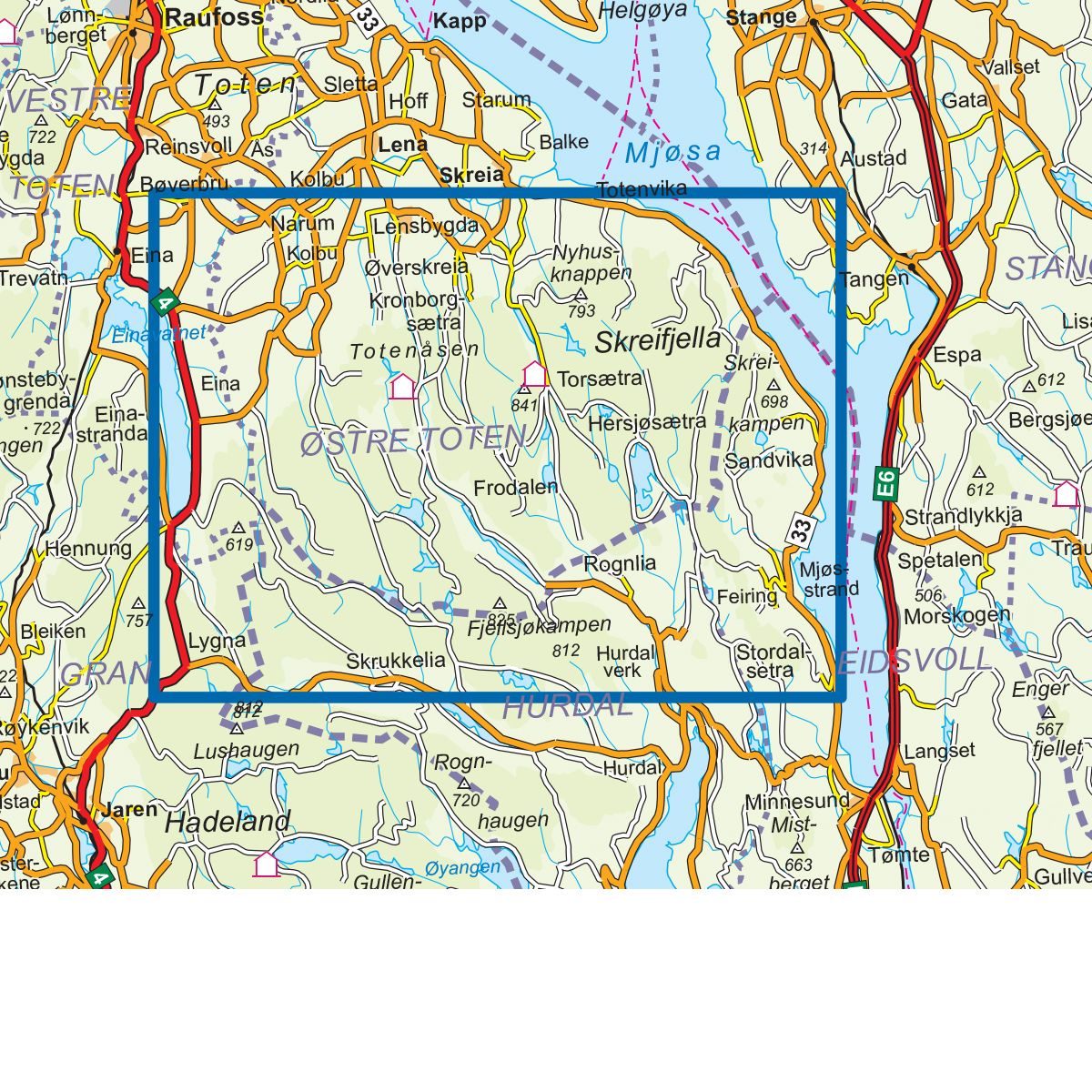
Topo 750 Totenåsen is a detailed map covering over 750 km2. Here you will find both hiking trails and accommodations that are clearly marked on the map. The map extends from Lygna in the south-west, along Totenåsstien to Totenvika and Evjua in the north. Skibladner, the world's oldest wheeled steamer, calls at Evjua and is a fantastic starting point for a number of experiences on and by Lake Mjøsa. Here you will find great hiking opportunities along Norway's largest lake. Lygna is a good starting point for the trip and the path continues north and takes you through lush spruce forest, idyllic ponds and old pastures. Totenåsstien also takes you over peaks with magnificent views, including Torsæterkampen which is the highest mountain peak on Totenåsen. There are also good accommodation options along the route. The hike takes you through one of eastern Norway's large forests between Lygnasæter in the west and Lake Mjøsa in the east and is definitely worth experiencing. Example of cabins in the map: Vesterås, Gamle Torsætra and Vollumssætra (unattended).
Topo 750 is a detailed trail 1:25,000 scaled map with information from the Norwegian Mapping Authority. The map includes hiking trails, skiing trails and overnight accommodations. Trekking information is in bold type for better legibility. The trail map covers more than 3000 km2 and has been adapted to include several popular trekking areas.
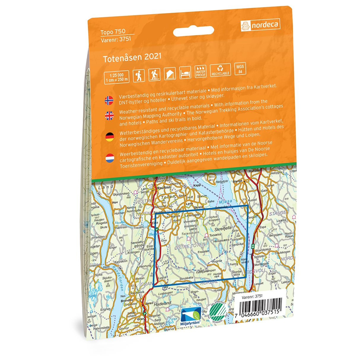
The maps are printed on durable and weatherproof plastic fibre or paper material.
The series is continuously being updated to four different languages: Norwegian, English, German and Dutch.