Norway
  Deutsch
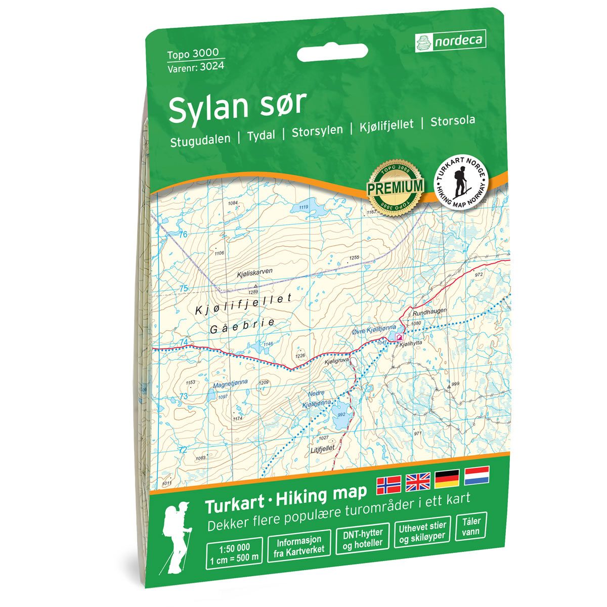
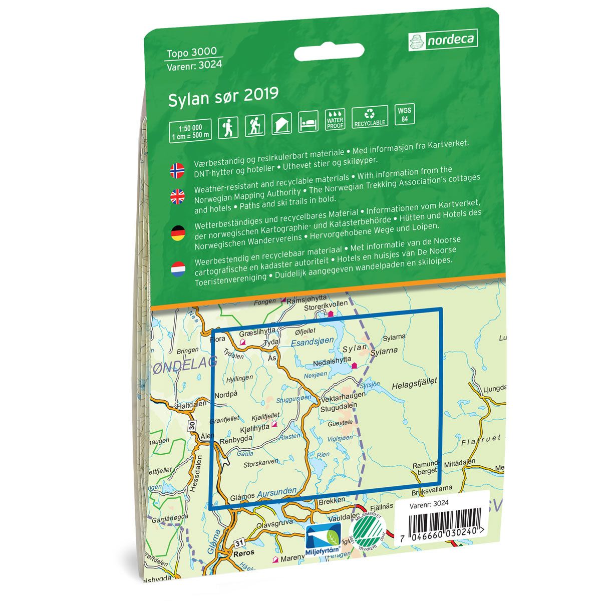

Sylan sør Topo 3000 Hiking map
Covers popular trekking areas with highlighted trekking information
- Scale 1:50 000 in water resistant material
€25.00
In stock
| Brand | Nordic Maps |
|---|---|
| SKU | 3024 |
| Map size | 70x100 cm |
| Scale | 1: 50 000 |
| Trails | Hiking trails |
| Updated | 2019 |
| Material | Plastic fiber |
| Map usage | Hiking, Cross Country |
| Accommodation | Serviced cabins, Unattended cabins, Self-catering cottages, hotels |
| Cabins in the map | Kjølihytta, Græslihytta, Sylarnas fjällstation, Nedalshytta, Helags fjällstation, Fältjägarstugan, |
| Map both sides | Yes |
| Country | Norway |
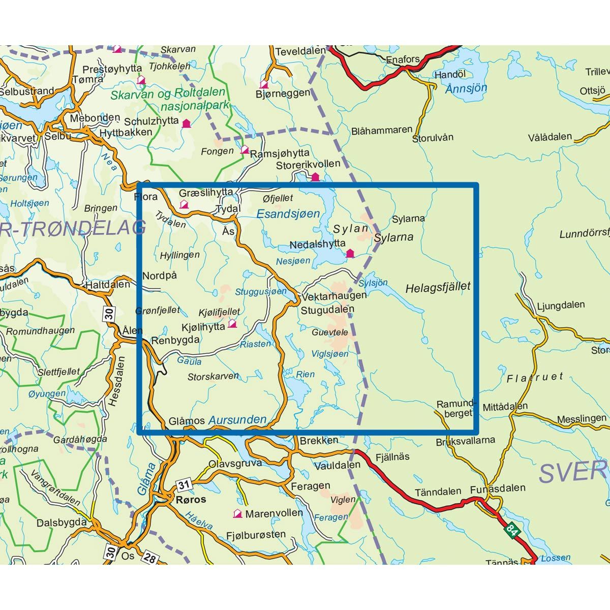
| Destinations | Stugudalen, Tydal, Storsylen, Kjølifjellet, Storsola |
| Format | Foldable |
| Language | Norwegian, English, German, Dutch |
| Series | Topo 3000 |
Topo 3000 is a detailed map covering over 3000 km2. Sylan offers varied untouched nature with good fishing opportunities and abundant wildlife with miles of mountain plateaus. In Sylan there are 820 km of winter marked routes. 370 on the Norwegian side and 450 on the Swedish side. In the map you will find, among other things. Nedalshytta, which is a good starting point for many trips. Here you can start the popular tour "The square in Sylan". Nedalshytta is also the start of the demanding peak trip to Storsylen 1762 meters above sea level, and the slightly less demanding peak trip to Storsola, as well as the hike to the Bandaklumpen approx. 20 km. The map also shows ski trails, cabins and hiking trails in Sweden. Here you will find trips such as: Top trip Storskarven 4.9 km, Kulturstien i Tydal, 5.5 km and Riasten Rundt - bike ride 40.5 km.
Topo 3000
Topo 3000 is a detailed trail 1:50,000 scaled map with information from the Norwegian Mapping Authority. The map includes hiking trails, skiing trails and overnight accommodations. Trekking information is in bold type for better legibility. The trail map covers more than 3000 km2 and has been adapted to include several popular trekking areas.
The maps are printed on durable and weatherproof plastic fibre or paper material.
The series is continuously being updated to four different languages: Norwegian, English, German and Dutch.