Norway
  Deutsch
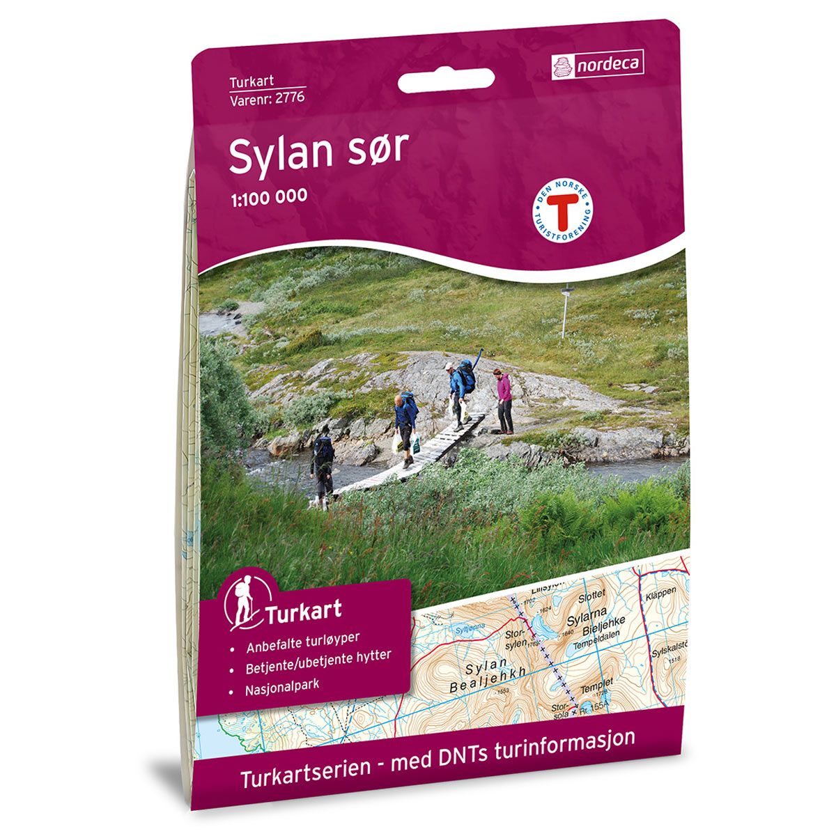
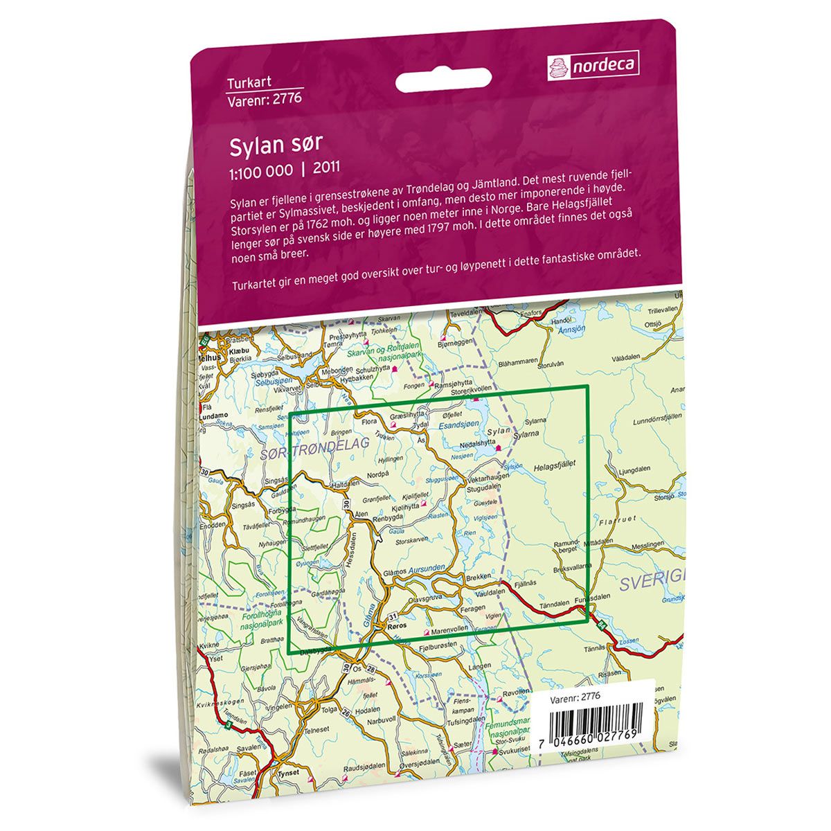

Sylan Sør DNT hiking map
Map with Norwegian Trekking Association information about trails and cabins.
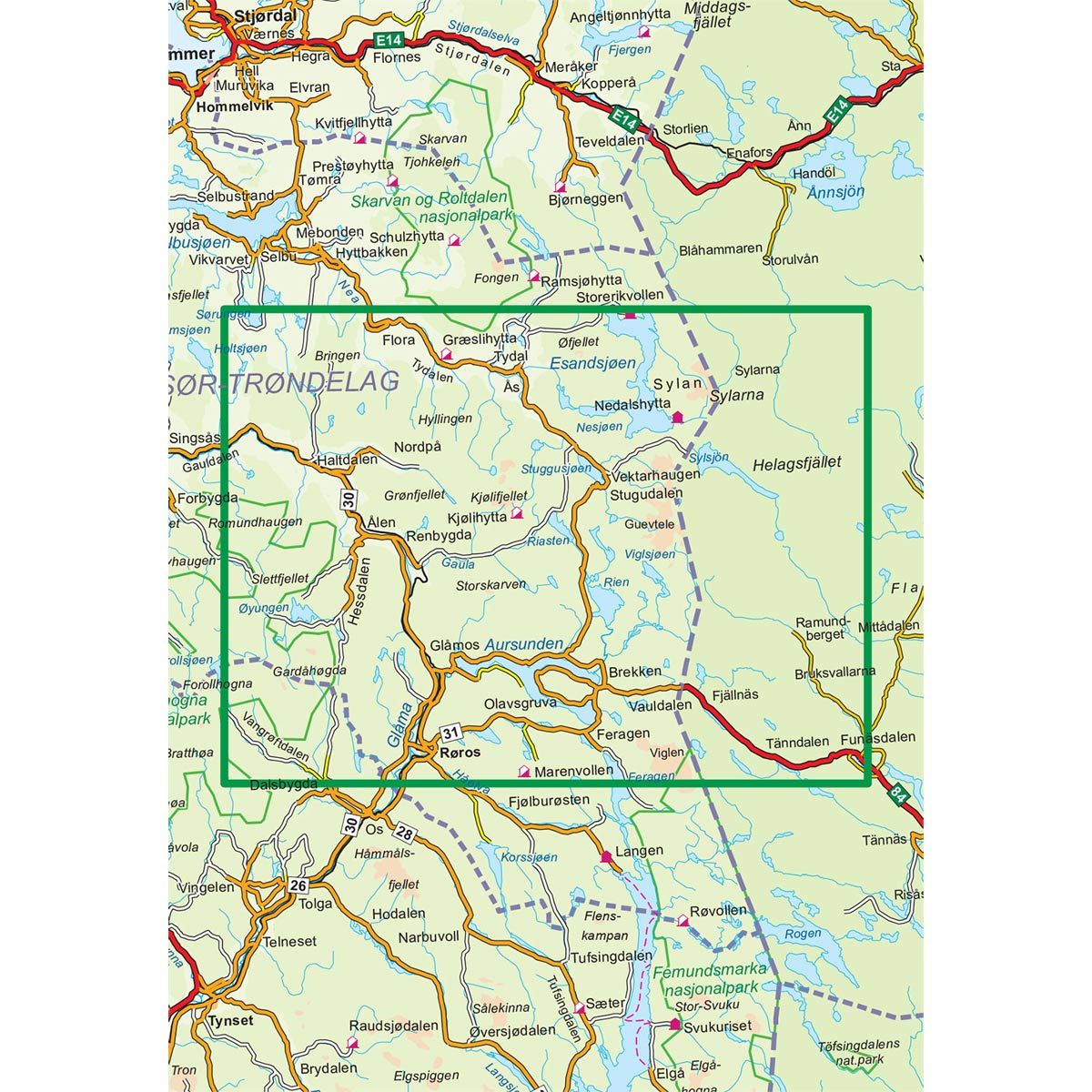
- The map covers Dalsbygda, Glåma, Glåmos, Haltdalen, Kjølifjellet og Røros
- Scale 1:100 000 in water resistant material
€24.00
Out of stock
| Brand | Nordic Maps |
|---|---|
| SKU | 2776 |
| Map size | 70x100 cm |
| Scale | 1: 100 000 |
| Trails | Hiking trails |
| Updated | 2011 |
| Material | Plastic fiber |
| Map usage | Hiking, Cross Country |
| Accommodation | Serviced cabins, Unattended cabins, Self-catering cottages, hotels |
| EAN | 7046660027769 |
| Partner | The Norwegian Trekking Association |
| Map both sides | No |
| Country | Norway |
| Destinations | Aursunden, Brekken, Dalsbygda, Esandsjøen, Gauldalen, Glåma, Glåmos, Haltdalen, Håelva, Kjølifjellet, Nesjøen, Rien, Røros, Stugudalen, Sylan, Sør-Trøndelag, Tydal, Tydalen, Viglen, Ålen, Øyungen |
| Format | Foldable |
| Language | Norwegian, English |
| Series | Hiking maps |
Sylan is a mountain range along the border of Trøndelag and Jämtland in Sweden. The most imposing mountainous area is Sylmassivet. It may be modest in width, but has an impressive height. Storsylen mountain is 1762 masl, and is located a few metres within the Norwegian border. Only Helagsfjellet mountain is taller, with its 1797 masl. It stands further south on the Swedish side. This area also has a few smaller glaciers. The trail map provides an excellent overview of hiking and skiing trails in this fantastic area.
DNT hiking maps
This map series was developed in cooperation with The Norwegian Trekking Association (DNT) and contains DNT trails, cabins and other useful trekking information. A few of the maps also have ski trails.
The DNT maps are published in three different scales (levels of detail).
1:25 000 for more defined and detailed information. Suitable for shorter treks.
1:50 000 is the optimal scale for treks.
1:100 000 offers a good overview of larger areas and is useful when planning trips.
The maps are printed on durable and weatherproof plastic fibre or paper material.
Language: Norwegian and English