
 Norway
  Deutsch
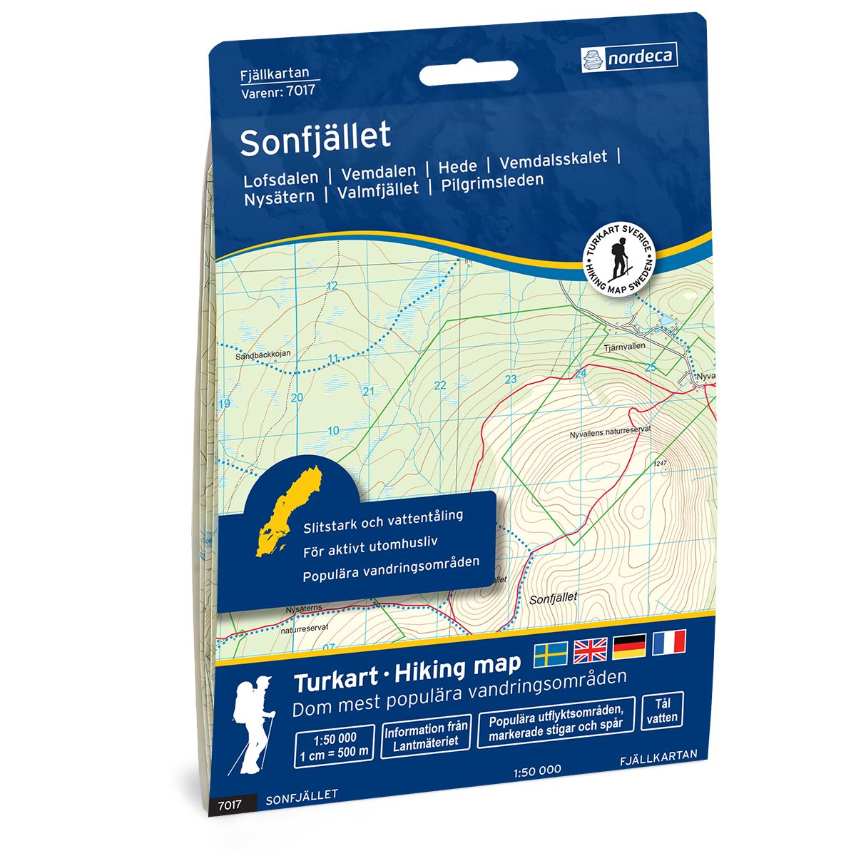
Sonfjället Swedish hiking map
Covers popular hiking areas with highlighted hiking information
- The map covers Lofsdalen, Vemdalen, Hede
- Scale 1:50 000 in water resistant material
€25.00
In stock
| Brand | Nordic Maps |
|---|---|
| SKU | 7017 |
| Map size | 70x100 cm |
| Scale | 1: 50 000 |
| Trails | Hiking trails |
| Updated | 2021 |
| Material | Plastic fiber |
| Map usage | Hiking, Cross Country |
| Accommodation | Cabins |
| Map both sides | Yes |
| Country | Sweden |
| Destinations | Lofsdalen, Vemdalen, Hede, Vemdalsskalet, Nysätern, Lofsens fjällby, Glöte, Rånddalen, Skärsjövålen, Nyvallen, Hedeviken, Vemhån, Kvisthån, Björnrike, Sångbäckvallen |
| Format | Foldable |
| Language | English, German, Dutch, Swedish |
| Series | Swedish Mountain Map |
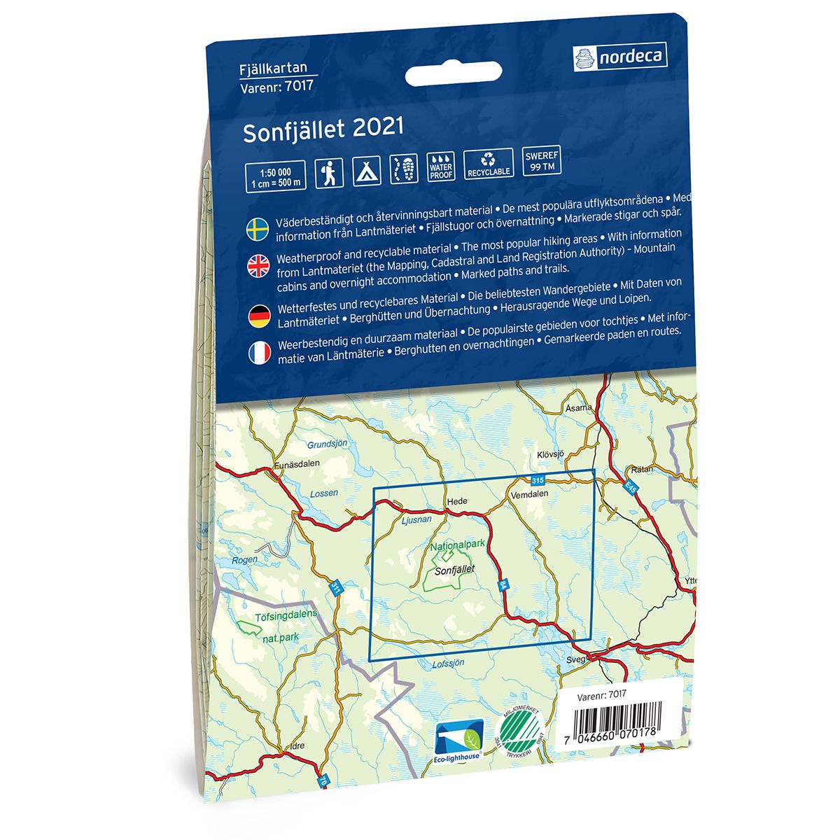
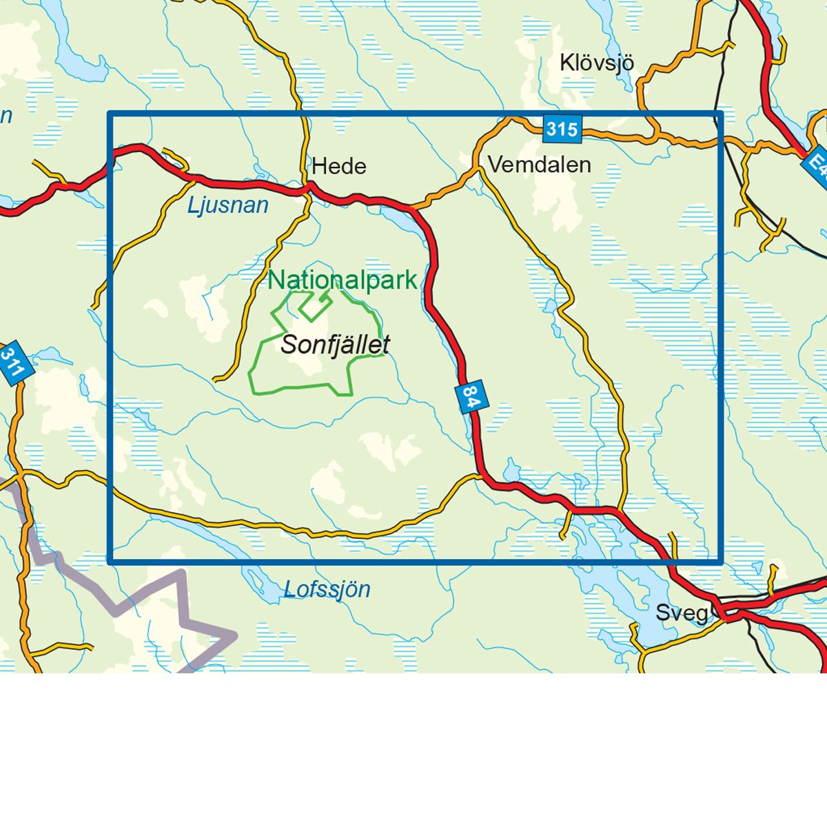
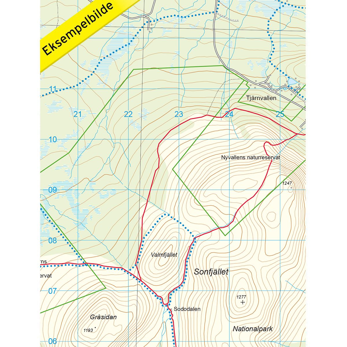
Mountain map Sonfjället is a detailed map that covers more than 3000 km2. This includes trails, mountain lodges and cabins in the area, which are clearly marked on the map. Sonfjåallet is a majestic mountain in Härjedalen. The area includes Sonfjället national park, one of the first in Europe, and offers high peaks and numerous hiking trails, teeming with animal life. The map covers the areas of Nyvallen and Nysätern, which comprise a smaller nature reserve within the national park area. This is a good starting point for trips in the area. The map also covers the ski destinations of Vemdalsskalet and Lofsdalen, with Lofsens mountain village as the perfect starting point, and a good selection of overnight accommodations. Vemdalen also offers good opportunities for summer activities, and the area is perfect for trips with children. Mountain lodge located on the map at the following sites: Lofsens fjällby.
Swedish hiking maps is a hiking map series on a scale of 1:50 000 with information from Lantmäteriet and the Mapping Authority. The maps contain hiking trails, ski trails and accommodations. The tour information is highlighted for even better readability. The hiking map covers over 3000 km2 and is adapted so that it covers several popular hiking areas.
The series is available in four languages, Swedish, German, English and Dutch.
The maps are printed on durable and weather-resistant plastic fiber material
The series is available in four languages, Swedish, German, English and Dutch.
The maps are printed on durable and weather-resistant plastic fiber material