
 Norway
  Deutsch
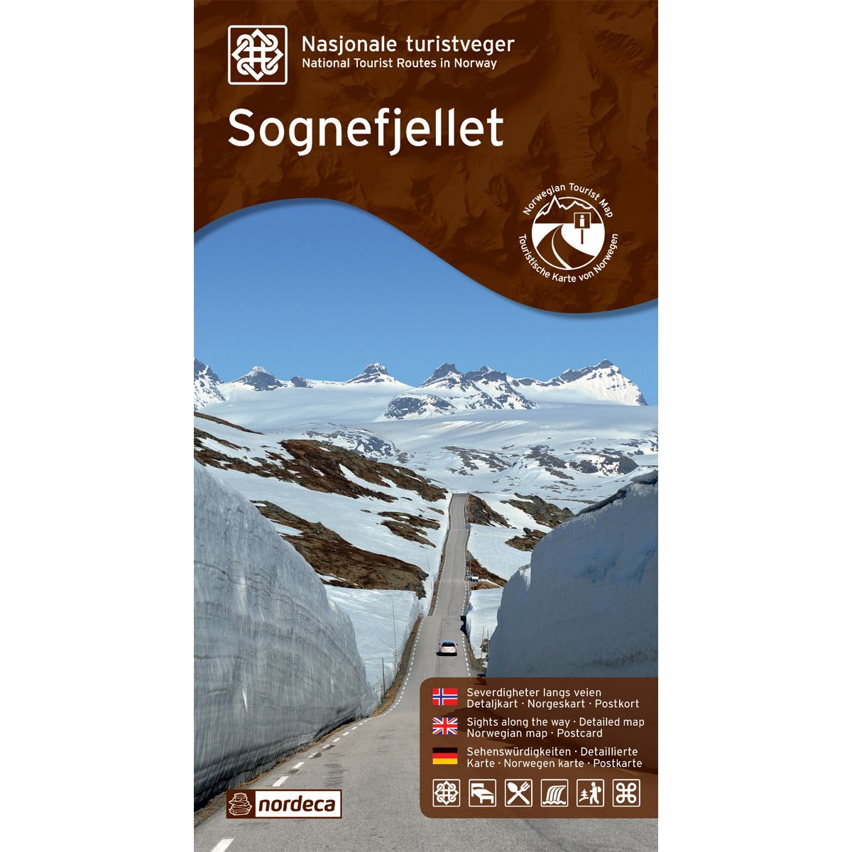
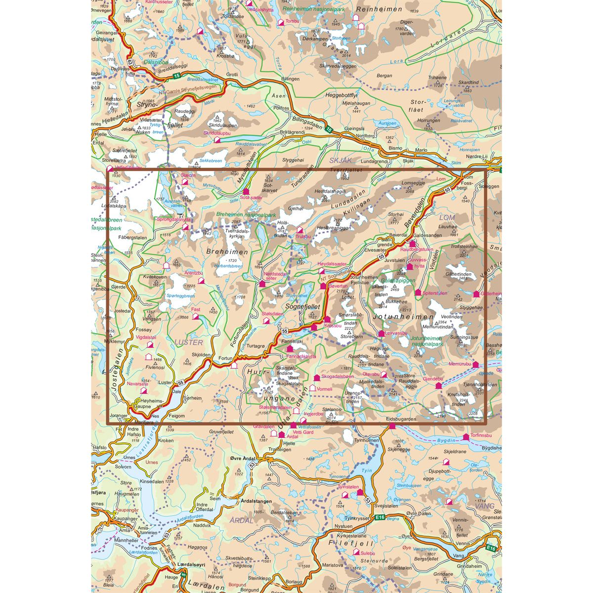
Sognefjellet Scenic Routes
Road map for Norway’s most beautiful routes.
- Smørstabbreen, Gaupne, Luster, Hurrungane og Lom
€24.00
In stock

| Brand | Nordic Maps |
|---|---|
| SKU | 20008 |
| Map size | 70x100 cm |
| Scale | 1:80 000 |
| Updated | 2014 |
| Material | Paper |
| Map usage | Sightseeing and activities |
| Accommodation | campsites, hotels |
| Attractions | Sognefjell |
| Partner | State Highways Authority |
| Map both sides | No |
| Country | Norway |
| Destinations | Smørstabbreen, Gaupne, Luster, Skjolden, Hurrungane, Turtagrø, Krossbu, Bøvertun, Lom, Sognefjellet |
| Format | Foldable |
| Language | Norwegian, English, German |
| Series | National Scenic Routes |
On this journey with long traditions between east and west, you will cross the highest mountain pass of Northern Europe at 1434 m above sea level. The Sognefjell road goes from lush cultural landscapes in the Bøverdalen in the east, via the high mountain plateau overlooking glaciers and mighty mountains, down again through valleys to the innermost part of the Sognefjord and quiet settlements to the west. The road over Norway's roof offers not only mountains, but also fjords and valleys, and a landscape full of cultural monuments. Lom Stave Church, one of the largest and most beautiful stave churches in the country, is one of many highlights of the trip. The road was in the old days is an important road between the coast and inland. Salt and fish were transported east, while butter tar and skin went west. From ancient times it was wise of farmers and merchants to stick together on the trip over the mountain so as not to be robbed of mittens. Today it is safe to travel across the mountain, and the excitement along the road now lies in the meeting between magnificent high mountain nature, art and architecture. The national tourist road Sognefjellet runs between Lom and Gaupne and is 108 km long (Fv. 55). The road over the mountain is closed in winter, and in early May you can experience up to 10 m high ridge edges. & Nbsp;
National Scenic Routes
This map series will enable some wonderful experiences along the selected routes.
The maps indicate spectacular views, nature experiences, attractions, architecture, dining spots, overnight accommodations and places of interest. These are described in the map with text and photos.
The maps have been designed in cooperation with the Norwegian Public Roads Administration.
The products are available in
three languages - Norwegian, English and German.