Norway
  Deutsch
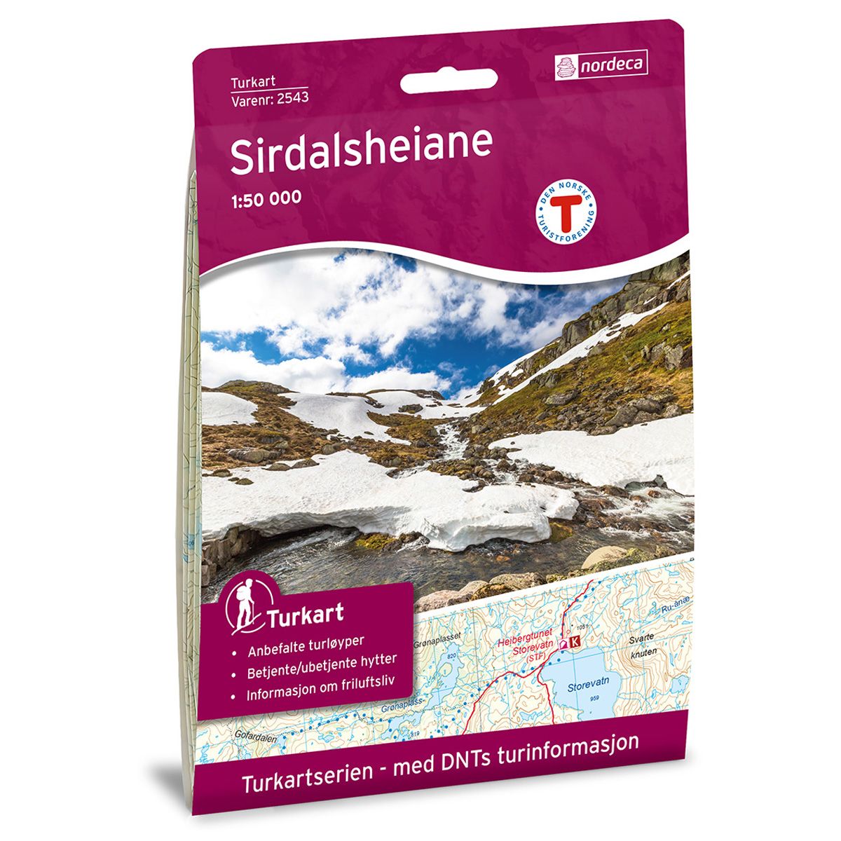
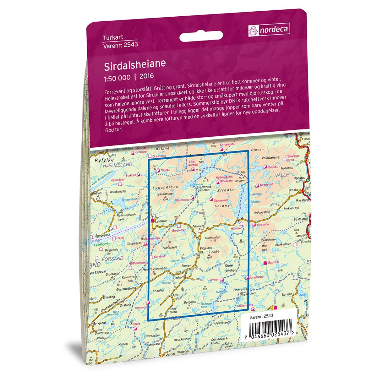


Sirdalsheiane DNT hiking map
Map with Norwegian Trekking Association information about trails and cabins.
- The map covers Lysebotn, Lysefjorden, Ryfylkeheiane og Lyseheiane
- Scale 1:50 000
€24.00
In stock
| Brand | Nordic Maps |
|---|---|
| SKU | 2543 |
| Map size | 70x100 cm |
| Scale | 1: 50 000 |
| Trails | Hiking trails |
| Updated | 2016 |
| Material | Paper |
| Map usage | Hiking, Cross Country |
| Accommodation | Serviced cabins, Unattended cabins, Self-catering cottages, hotels |
| Attractions | Lysefjorden |
| EAN | 7046660025437 |
| Partner | The Norwegian Trekking Association |
| Map both sides | No |
| Country | Norway |
| Destinations | Kvifjorden, Lysebotn, Lysefjorden, Lyseheiane, Rosskreppfjorden, Ryfylkeheiane, Sirdalen, Sirdalsheiane, Svartevatn, Tjørhom, Valevatn |
| Format | Foldable |
| Language | Norwegian, English |
| Series | Hiking maps |
Rugged and magnificent. Grey and green. Sirdalsheiane is stunning in both summer and winter. The mountains east of Sirdal always get snow in winter, and are not as vulnerable to mild weather and strong winds as the mountains further west. The terrain has both steep and graded trails, through birch forests in the low-lying valleys and across the fells. In summer, the Norwegian Trekking Association’s network of trails up through the mountain offers fantastic hiking trips. There are also several peaks just waiting to be climbed. A combined hiking and cycling trip opens the door to new experiences.
DNT hiking maps
This map series was developed in cooperation with The Norwegian Trekking Association (DNT) and contains DNT trails, cabins and other useful trekking information. A few of the maps also have ski trails.
The DNT maps are published in three different scales (levels of detail).
1:25 000 for more defined and detailed information. Suitable for shorter treks.
1:50 000 is the optimal scale for treks.
1:100 000 offers a good overview of larger areas and is useful when planning trips.
The maps are printed on durable and weatherproof plastic fibre or paper material.
Language: Norwegian and English